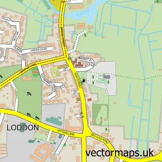
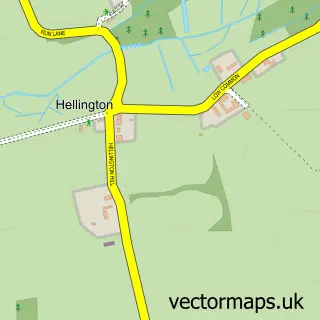
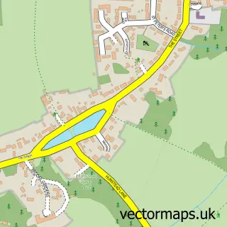
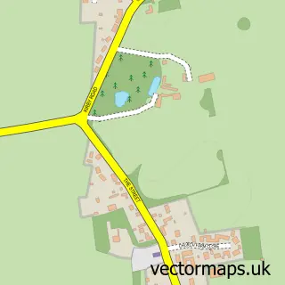
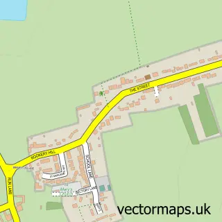
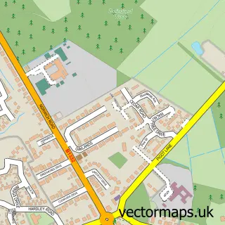
This Alpington street map is a detailed vector street map covering a 750m x 750m area. Select a larger area to create and download your own vector street map of Alpington.
The 750-metre map sample for Alpington covers 185 mapped buildings and approximately 8.3 km of road detail, of which 11 named roads are named. The immediate area includes 1 school, 1 GP surgery within 2 miles, 2 pubs and 4 MOT stations within 2 miles. The wider area around Alpington features 2 food and drink venues. To create a larger or custom map of Alpington, the map builder lets you define your own coverage area and download editable SVG, PDF and PNG files.
Create a larger editable map of Alpington
Choose any area you need and generate a high-quality vector map instantly. Perfect for print, planning, design, business and personal use.

This Alpington street map in Norfolk is available as downloadable SVG, PDF and PNG map files, or as a printed map for planning, business, display, education, local information and design work. You can also create a larger custom map area using the map selector.
What this Alpington map sample shows
Alpington lies within Yelverton Cp parish, part of Brooke ward in the South Norfolk District local authority area. The postcode geography for this area includes the NR postcode area, the NR14 postcode district and the NR14 7 postcode sector. Residents fall under the Nhs Norfolk And Waveney Integrated Care Board for NHS services.
Local features near Alpington
Within 2 milesAmenities and services in and around Alpington.
Administrative and postcode information for Alpington
Alpington lies within Yelverton Cp parish, part of Brooke ward in the South Norfolk District local authority area. The postcode geography for this area includes the NR postcode area, the NR14 postcode district and the NR14 7 postcode sector. Residents fall under the Nhs Norfolk And Waveney Integrated Care Board for NHS services.
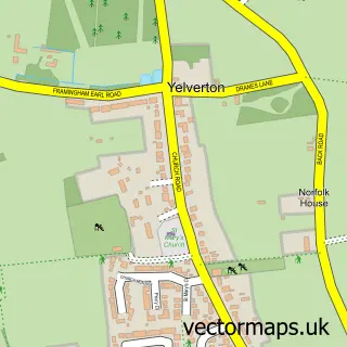
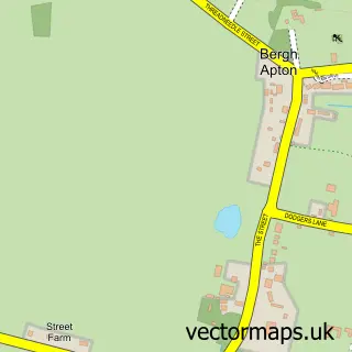
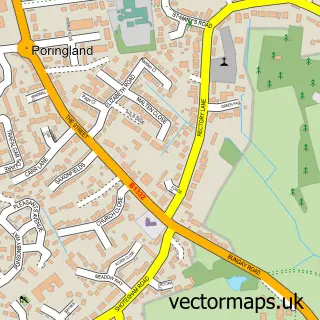
Nearby street map samples around Alpington

More street maps in Norfolk
750 metre map area coverage
Boundary, postcode and point of interest information for the 750m x 750m rectangle centred on this sample map.
Boundaries containing map centre
Constituency: South Norfolk Co Const
County: Norfolk County
District: South Norfolk District
Icb: NHS Norfolk and Waveney ICB
Parish: Alpington CP
Police Force: norfolk
Postcode District: NR14
Postcode Sector: NR14 7
Ward: Brooke Ward
Nearby boundaries intersecting sample
Parish: Yelverton CP
Postcode coverage
POI category counts
Building Supply Store: 2
Elementary School: 2
Information Technology Company: 2
Pub: 2
Anglican Church: 1
Car Dealer: 1
Child Care And Day Care: 1
Church Cathedral: 1
Driving School: 1
Electrician: 1
Sample points of interest
- Yelverton: St Mary
- Beccles Home Improvement Ltd.
- C G Electrical Services
- Fairmile Vehicle Options
- Alpington & Yelverton Pre-School
- Yelverton Saint Mary Churchyard
- lindyslearners
- Beccles Home Improvements
- Alpington V a School
- Alpington and Bergh Apton Church of England Voluntary Aided Primary School
- Pslweb
- pslweb.co.uk
Create a larger editable map of Alpington
This sample shows only a 750 metre area. To create a larger map of Alpington, use our map builder to choose your own coverage area, add titles and download editable SVG, PDF and PNG files.
Create a custom map of Alpington