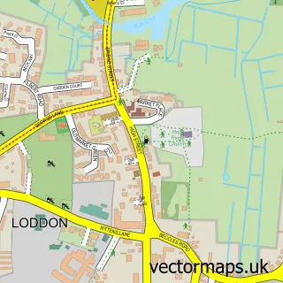
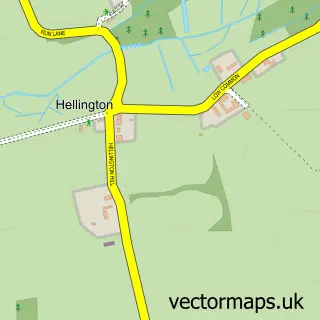
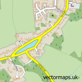
This Yelverton street map is a detailed vector street map covering a 750m x 750m area. Select a larger area to create and download your own vector street map of Yelverton.
The 750-metre map sample for Yelverton covers 174 mapped buildings and approximately 8.2 km of road detail, of which 9 named roads are named. The immediate area includes 2 GP surgeries within 2 miles and 4 MOT stations within 2 miles. To create a larger or custom map of Yelverton, the map builder lets you define your own coverage area and download editable SVG, PDF and PNG files.
Create a larger editable map of Yelverton
Choose any area you need and generate a high-quality vector map instantly. Perfect for print, planning, design, business and personal use.

This Yelverton street map in Norfolk is available as downloadable SVG, PDF and PNG map files, or as a printed map for planning, business, display, education, local information and design work. You can also create a larger custom map area using the map selector.
What this Yelverton map sample shows
Yelverton lies within Yelverton Cp parish, part of Brooke ward in the South Norfolk District local authority area. The postcode geography for this area includes the NR postcode area, the NR14 postcode district and the NR14 7 postcode sector. Residents fall under the Nhs Norfolk And Waveney Integrated Care Board for NHS services.
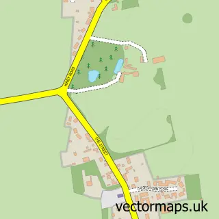
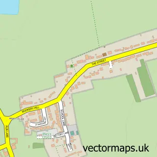
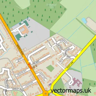
Local features near Yelverton
Within 2 milesAmenities and services in and around Yelverton.
Administrative and postcode information for Yelverton
The local authority covering Yelverton is South Norfolk District, within the county of Norfolk. The settlement lies within Brooke ward and Yelverton Cp civil parish. The NR14 postcode district and NR14 7 postcode sector serve the immediate area. NHS provision in the area is delivered through Norfolk And Norwich University Hospitals Nhs Foundation Trust.
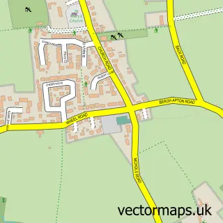
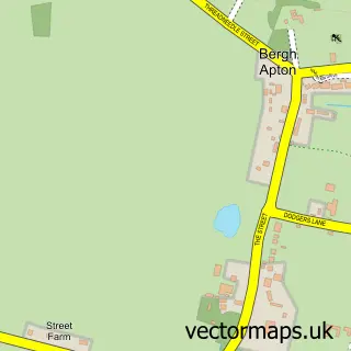
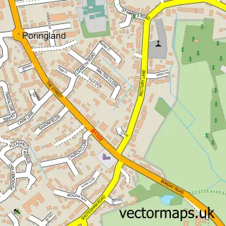
Nearby street map samples around Yelverton

More street maps in Norfolk
750 metre map area coverage
Boundary, postcode and point of interest information for the 750m x 750m rectangle centred on this sample map.
Boundaries containing map centre
Constituency: South Norfolk Co Const
County: Norfolk County
District: South Norfolk District
Icb: NHS Norfolk and Waveney ICB
Parish: Yelverton CP
Police Force: norfolk
Postcode District: NR14
Postcode Sector: NR14 7
Ward: Brooke Ward
Nearby boundaries intersecting sample
Parish: Alpington CP
Postcode coverage
POI category counts
Building Supply Store: 2
Information Technology Company: 2
Anglican Church: 1
Assisted Living Facility: 1
Child Care And Day Care: 1
Church Cathedral: 1
Electrician: 1
Printing Equipment And Supply: 1
Sample points of interest
- Yelverton: St Mary
- Cedar House
- Beccles Home Improvement Ltd.
- C G Electrical Services
- Alpington & Yelverton Pre-School
- Yelverton Saint Mary Churchyard
- Beccles Home Improvements
- Pslweb
- pslweb.co.uk
- Totally Dynamic
Create a larger editable map of Yelverton
This sample shows only a 750 metre area. To create a larger map of Yelverton, use our map builder to choose your own coverage area, add titles and download editable SVG, PDF and PNG files.
Create a custom map of Yelverton