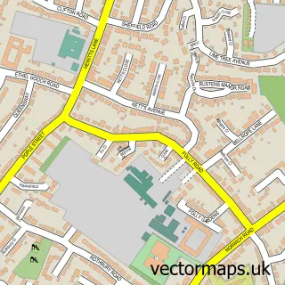
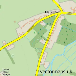
This Colney street map is a detailed vector street map covering a 750m x 750m area. Select a larger area to create and download your own vector street map of Colney.
The 750-metre map sample for Colney covers 107 mapped buildings and approximately 10.9 km of road detail, of which 8 named roads are named. The immediate area includes 6 GP surgeries within 2 miles and 6 MOT stations within 2 miles. The wider area around Colney features 1 tourism point of interest. To create a larger or custom map of Colney, the map builder lets you define your own coverage area and download editable SVG, PDF and PNG files.
Create a larger editable map of Colney
Choose any area you need and generate a high-quality vector map instantly. Perfect for print, planning, design, business and personal use.

This Colney street map in Norfolk is available as downloadable SVG, PDF and PNG map files, or as a printed map for planning, business, display, education, local information and design work. You can also create a larger custom map area using the map selector.
What this Colney map sample shows
Colney lies within Colney Cp parish, part of Cringleford ward in the South Norfolk District local authority area. The postcode geography for this area includes the NR postcode area, the NR4 postcode district and the NR4 7 postcode sector. Residents fall under the Nhs Norfolk And Waveney Integrated Care Board for NHS services.
Local features near Colney
Within 2 milesAmenities and services in and around Colney.
Administrative and postcode information for Colney
The local authority covering Colney is South Norfolk District, within the county of Norfolk. The settlement lies within Cringleford ward and Colney Cp civil parish. The NR4 postcode district and NR4 7 postcode sector serve the immediate area. NHS provision in the area is delivered through Norfolk And Norwich University Hospitals Nhs Foundation Trust.
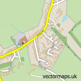
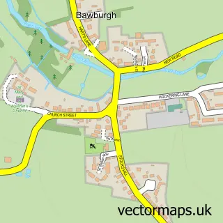
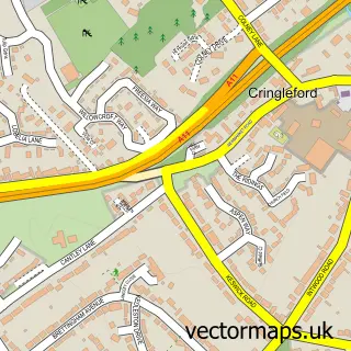
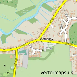
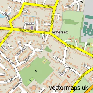
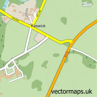
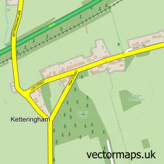
Nearby street map samples around Colney

More street maps in Norfolk
750 metre map area coverage
Boundary, postcode and point of interest information for the 750m x 750m rectangle centred on this sample map.
Boundaries containing map centre
Constituency: South Norfolk Co Const
County: Norfolk County
District: South Norfolk District
Icb: NHS Norfolk and Waveney ICB
Parish: Colney CP
Police Force: norfolk
Postcode District: NR4
Postcode Sector: NR4 7
Ward: Cringleford Ward
Nearby boundaries intersecting sample
Constituency: Norwich South Boro Const
District: Norwich District (B)
Postcode District: NR5
Postcode Sector: NR5 8, NR5 9
Ward: Bowthorpe Ward
Postcode coverage
POI category counts
Doctor: 3
Educational Research Institute: 2
Hospital: 2
Medical Center: 2
Anglican Church: 1
Assisted Living Facility: 1
Audiologist: 1
Building Supply Store: 1
Charity Organization: 1
College University: 1
Sample points of interest
- St Andrew's, Colney
- Oakwood House Care Home
- Anglian Hearing Healthcare
- Tested Builders
- Big C Cancer Charity
- UEA School of Economics
- AAH Software Ltd.
- Bupa Health Centre
- Spire Norwich Private GP Surgery
- Spire Norwich Private GP Surgery
- Norwich Research Park
- John Innes Centre
Create a larger editable map of Colney
This sample shows only a 750 metre area. To create a larger map of Colney, use our map builder to choose your own coverage area, add titles and download editable SVG, PDF and PNG files.
Create a custom map of Colney