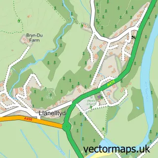
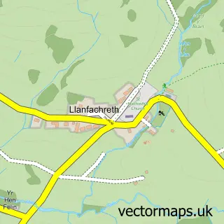
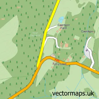
This Dolgellau street map is a detailed vector street map covering a 750m x 750m area. Select a larger area to create and download your own vector street map of Dolgellau.
The 750-metre map sample for Dolgellau covers 294 mapped buildings and approximately 22.9 km of road detail, of which 44 named roads are named. The immediate area includes 5 pubs and 2 MOT stations, with 4 within 2 miles. The wider area around Dolgellau features 5 tourism points of interest, 15 food and drink venues and 5 hotels. To create a larger or custom map of Dolgellau, the map builder lets you define your own coverage area and download editable SVG, PDF and PNG files.
Create a larger editable map of Dolgellau
Choose any area you need and generate a high-quality vector map instantly. Perfect for print, planning, design, business and personal use.

This Dolgellau street map in Gwynedd is available as downloadable SVG, PDF and PNG map files, or as a printed map for planning, business, display, education, local information and design work. You can also create a larger custom map area using the map selector.
What this Dolgellau map sample shows
Dolgellau lies within Dolgellau Community parish, part of Dolgellau North ward in the Gwynedd - Gwynedd local authority area. The postcode geography for this area includes the LL postcode area, the LL40 postcode district and the LL40 2 postcode sector. Residents fall under the Betsi Cadwaladr University Health Board for NHS services.
Local features near Dolgellau
Within 2 milesAmenities and services in and around Dolgellau.
Administrative and postcode information for Dolgellau
Dolgellau lies within Dolgellau Community parish, part of Dolgellau North ward in the Gwynedd - Gwynedd local authority area. The postcode geography for this area includes the LL postcode area, the LL40 postcode district and the LL40 2 postcode sector. Residents fall under the Betsi Cadwaladr University Health Board for NHS services.
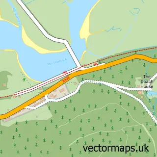
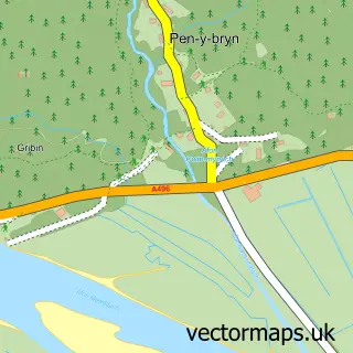
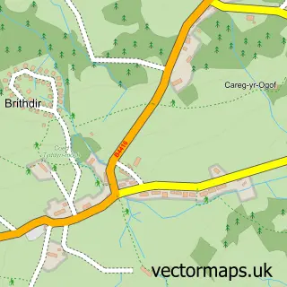
Nearby street map samples around Dolgellau

More street maps in Gwynedd
750 metre map area coverage
Boundary, postcode and point of interest information for the 750m x 750m rectangle centred on this sample map.
Boundaries containing map centre
Constituency: Dwyfor Meirionnydd Co Const
District: Gwynedd - Gwynedd
Icb: Betsi Cadwaladr University
Parish: Dolgellau Community
Police Force: north wales
Postcode District: LL40
Postcode Sector: LL40 1
Nearby boundaries intersecting sample
Postcode Sector: LL40 2
Postcode coverage
POI category counts
Bed And Breakfast: 9
Coffee Shop: 6
Hotel: 5
Professional Services: 5
Pub: 5
Bank Credit Union: 4
Jewelry Store: 4
Arts And Crafts: 3
Building Supply Store: 3
Car Dealer: 3
Sample points of interest
- E W Owen a'i Chwmni
- Wynnstay Stores
- British Red Cross
- Deryn Du, Dolgellau
- The Milliput Co
- Modern World Data Ltd.
- Draig Dipsy Dragon
- Celf Aran Arts
- Knit One...
- Slatecreation
- Abbeyfield Wales Society
- Grwp Cynefin
Create a larger editable map of Dolgellau
This sample shows only a 750 metre area. To create a larger map of Dolgellau, use our map builder to choose your own coverage area, add titles and download editable SVG, PDF and PNG files.
Create a custom map of Dolgellau