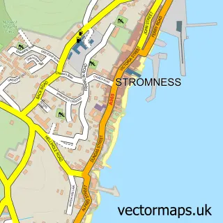
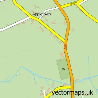
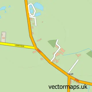
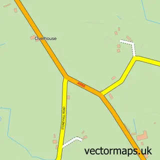
This Dounby street map is a detailed vector street map covering a 750m x 750m area. Select a larger area to create and download your own vector street map of Dounby.
The 750-metre map sample for Dounby covers 63 mapped buildings and approximately 9.4 km of road detail, of which 6 named roads are named. The immediate area includes 1 GP surgery. The wider area around Dounby features 1 hotel. To create a larger or custom map of Dounby, the map builder lets you define your own coverage area and download editable SVG, PDF and PNG files.
Create a larger editable map of Dounby
Choose any area you need and generate a high-quality vector map instantly. Perfect for print, planning, design, business and personal use.

This Dounby street map in Orkney is available as downloadable SVG, PDF and PNG map files, or as a printed map for planning, business, display, education, local information and design work. You can also create a larger custom map area using the map selector.
What this Dounby map sample shows
Dounby lies within Orkney Islands parish, part of West Mainland ward in the Orkney Islands local authority area. The postcode geography for this area includes the KW postcode area, the KW17 postcode district and the KW17 2 postcode sector. Residents fall under the Orkney for NHS services.
Local features near Dounby
Within 2 milesAmenities and services in and around Dounby.
Administrative and postcode information for Dounby
Dounby lies within Orkney Islands parish, part of West Mainland ward in the Orkney Islands local authority area. The postcode geography for this area includes the KW postcode area, the KW17 postcode district and the KW17 2 postcode sector. Residents fall under the Orkney for NHS services.
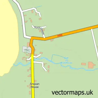
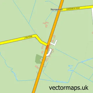
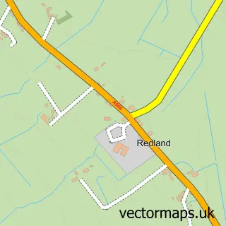
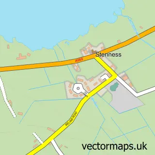
Nearby street map samples around Dounby


More street maps in Orkney
750 metre map area coverage
Boundary, postcode and point of interest information for the 750m x 750m rectangle centred on this sample map.
Boundaries containing map centre
Constituency: Orkney and Shetland Co Const
District: Orkney Islands
Icb: Orkney
Postcode District: KW17
Postcode Sector: KW17 2
Ward: West Mainland Ward
Nearby boundaries intersecting sample
No additional intersecting boundaries found.
Postcode coverage
POI category counts
Atms: 1
Butcher Shop: 1
Catholic Church: 1
Community Center: 1
Convenience Store: 1
Dog Walkers: 1
Grocery Store: 1
Guest House: 1
Home Health Care: 1
Hotel: 1
Sample points of interest
- Asda (C) Dounby PFS, A986 Dounby
- Dounby Butcher
- Birsay Harray & Sandwick
- Dounby Community Centre
- Post Office
- West Mainland Walks and Sits
- Co-op Food
- Kringla Apartments
- Smiddybrae House, Dounby
- Smithfield Hotel
- Alison Moore Designs
- Dounby Pharmacy
Create a larger editable map of Dounby
This sample shows only a 750 metre area. To create a larger map of Dounby, use our map builder to choose your own coverage area, add titles and download editable SVG, PDF and PNG files.
Create a custom map of Dounby