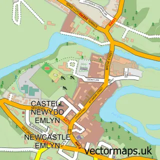
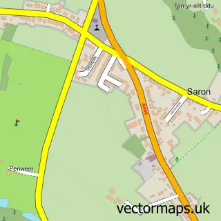
This Drefach street map is a detailed vector street map covering a 750m x 750m area. Select a larger area to create and download your own vector street map of Drefach.
The 750-metre map sample for Drefach covers 223 mapped buildings and approximately 16.3 km of road detail, of which 3 named roads are named. The immediate area includes 1 pub and 2 MOT stations within 2 miles. The wider area around Drefach features 2 tourism points of interest, 1 food and drink venue and 4 campsites within 2 miles. To create a larger or custom map of Drefach, the map builder lets you define your own coverage area and download editable SVG, PDF and PNG files.
Create a larger editable map of Drefach
Choose any area you need and generate a high-quality vector map instantly. Perfect for print, planning, design, business and personal use.

This Drefach street map in Dyfed is available as downloadable SVG, PDF and PNG map files, or as a printed map for planning, business, display, education, local information and design work. You can also create a larger custom map area using the map selector.
What this Drefach map sample shows
Drefach lies within Llangeler Community parish, part of Llangeler ward in the Sir Gaerfyrddin - Carmarthenshire local authority area. The postcode geography for this area includes the SA postcode area, the SA44 postcode district and the SA44 5 postcode sector. Residents fall under the Hywel Dda University Health Board for NHS services.
Local features near Drefach
Within 2 milesAmenities and services in and around Drefach.
Administrative and postcode information for Drefach
Drefach lies within Llangeler Community parish, part of Llangeler ward in the Sir Gaerfyrddin - Carmarthenshire local authority area. The postcode geography for this area includes the SA postcode area, the SA44 postcode district and the SA44 5 postcode sector. Residents fall under the Hywel Dda University Health Board for NHS services.
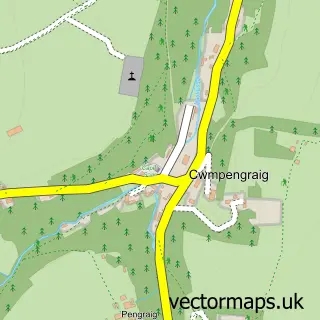
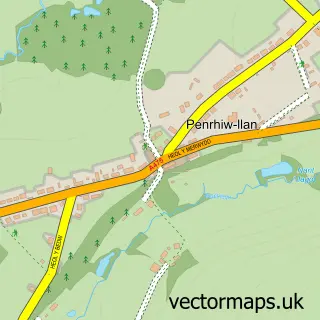
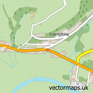
Nearby street map samples around Drefach


More street maps in Dyfed
750 metre map area coverage
Boundary, postcode and point of interest information for the 750m x 750m rectangle centred on this sample map.
Boundaries containing map centre
Constituency: Caerfyrddin Co Const
District: Sir Gaerfyrddin - Carmarthenshire
Icb: Hywel Dda
Parish: Llangeler Community
Police Force: dyfed-powys
Postcode District: SA44
Postcode Sector: SA44 5
Nearby boundaries intersecting sample
No additional intersecting boundaries found.
Postcode coverage
POI category counts
Convenience Store: 5
Post Office: 2
Adult Education: 1
Agriculture: 1
Antique Store: 1
Bakery: 1
Barber: 1
Building Supply Store: 1
Business Manufacturing And Supply: 1
Community Services Non Profits: 1
Sample points of interest
- Soulschool
- J.E. Rees and Sons
- Alitiqulee
- Becws Felindre Bakehouse
- The Barbershed
- John Jones & Sons Saron LTD
- Mill Rundle Pottery
- Drefach Felindre Gardening Club
- Londis
- Londis LONDIS - SIOP GWALIA
- Morrisons Daily
- Morrisons Daily
Create a larger editable map of Drefach
This sample shows only a 750 metre area. To create a larger map of Drefach, use our map builder to choose your own coverage area, add titles and download editable SVG, PDF and PNG files.
Create a custom map of Drefach