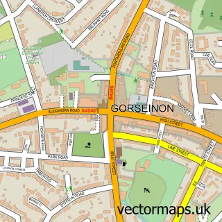
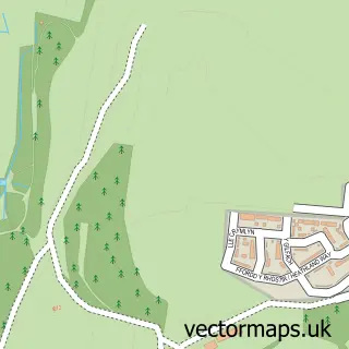
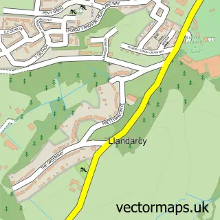
This Swansea street map is a detailed vector street map covering a 750m x 750m area. Select a larger area to create and download your own vector street map of Swansea.
The 750-metre map sample for Swansea covers 141 mapped buildings and approximately 27.0 km of road detail, of which 74 named roads are named. The immediate area includes 2 GP surgeries within 2 miles, 18 pubs and 1 MOT station, with 24 within 2 miles. The wider area around Swansea features 12 tourism points of interest, 88 food and drink venues and 11 hotels. To create a larger or custom map of Swansea, the map builder lets you define your own coverage area and download editable SVG, PDF and PNG files.
Create a larger editable map of Swansea
Choose any area you need and generate a high-quality vector map instantly. Perfect for print, planning, design, business and personal use.

This Swansea street map in West Glamorgan is available as downloadable SVG, PDF and PNG map files, or as a printed map for planning, business, display, education, local information and design work. You can also create a larger custom map area using the map selector.
What this Swansea map sample shows
Swansea lies within Sketty Community parish, part of Sketty ward in the Abertawe - Swansea local authority area. The postcode geography for this area includes the SA postcode area, the SA2 postcode district and the SA2 9 postcode sector. Residents fall under the Swansea Bay University Local Health Board for NHS services.
Local features near Swansea
Within 2 milesAmenities and services in and around Swansea.
Administrative and postcode information for Swansea
The local authority covering Swansea is Abertawe - Swansea, within the county of West Glamorgan. The settlement lies within Sketty ward and Sketty Community civil parish. The SA2 postcode district and SA2 9 postcode sector serve the immediate area. NHS provision in the area is delivered through Swansea Bay University Health Board.
Nearby street map samples around Swansea
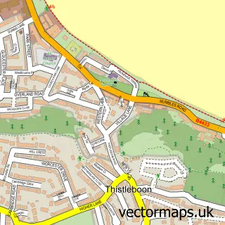
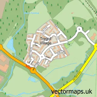
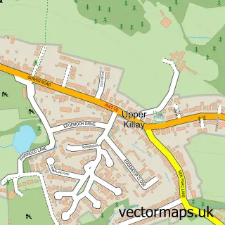
More street maps in West Glamorgan
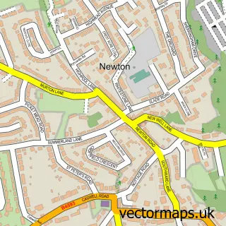
750 metre map area coverage
Boundary, postcode and point of interest information for the 750m x 750m rectangle centred on this sample map.
Boundaries containing map centre
Constituency: Swansea West Co Const
District: Abertawe - Swansea
Icb: Abertawe Bro Morgannwg University
Parish: Castle Community
Police Force: south wales
Postcode District: SA1
Postcode Sector: SA1 3
Nearby boundaries intersecting sample
Parish: Waterfront Community
Postcode Sector: SA1 1, SA1 2, SA1 4, SA1 5, SA1 6
Postcode coverage
POI category counts
Clothing Store: 44
Jewelry Store: 27
Coffee Shop: 25
Hair Salon: 25
Restaurant: 24
Cafe: 22
Beauty Salon: 21
Employment Agencies: 21
Tattoo And Piercing: 20
Beauty And Spa: 19
Sample points of interest
- Butterfield Morgan Ltd
- Clements Jones Chartered Accountants
- Jrj Accountants Ltd.
- Lumin Accountancy Ltd
- Sterling Rees Tax & Accountancy
- TaxAssist Accountants
- Red Twin Ltd.
- Sound Testing Cardiff
- Double Ring Chinese Herbal Medicine Co
- Wellness Acupuncture and Sports Massage
- Simply Pleasure
- Accent Creative
Create a larger editable map of Swansea
This sample shows only a 750 metre area. To create a larger map of Swansea, use our map builder to choose your own coverage area, add titles and download editable SVG, PDF and PNG files.
Create a custom map of Swansea