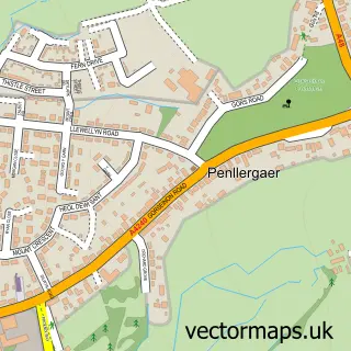
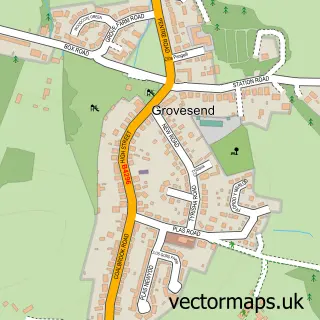
This Waunarlwydd street map is a detailed vector street map covering a 750m x 750m area. Select a larger area to create and download your own vector street map of Waunarlwydd.
The 750-metre map sample for Waunarlwydd covers 407 mapped buildings and approximately 10.7 km of road detail, of which 16 named roads are named. The immediate area includes 1 school, 1 GP surgery within 2 miles, 1 pub and 16 MOT stations within 2 miles. The wider area around Waunarlwydd features 1 tourism point of interest, 1 food and drink venue and 1 campsite within 2 miles. To create a larger or custom map of Waunarlwydd, the map builder lets you define your own coverage area and download editable SVG, PDF and PNG files.
Create a larger editable map of Waunarlwydd
Choose any area you need and generate a high-quality vector map instantly. Perfect for print, planning, design, business and personal use.

This Waunarlwydd street map in West Glamorgan is available as downloadable SVG, PDF and PNG map files, or as a printed map for planning, business, display, education, local information and design work. You can also create a larger custom map area using the map selector.
What this Waunarlwydd map sample shows
Waunarlwydd lies within Waunarlwydd Community parish, part of Cockett ward in the Abertawe - Swansea local authority area. The postcode geography for this area includes the SA postcode area, the SA5 postcode district and the SA5 4 postcode sector. Residents fall under the Swansea Bay University Local Health Board for NHS services.
Local features near Waunarlwydd
Within 2 milesAmenities and services in and around Waunarlwydd.
Administrative and postcode information for Waunarlwydd
The local authority covering Waunarlwydd is Abertawe - Swansea, within the county of West Glamorgan. The settlement lies within Cockett ward and Waunarlwydd Community civil parish. The SA5 postcode district and SA5 4 postcode sector serve the immediate area. NHS provision in the area is delivered through Swansea Bay University Health Board.
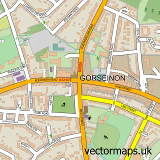
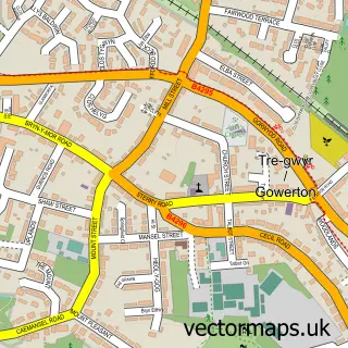
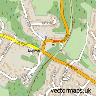
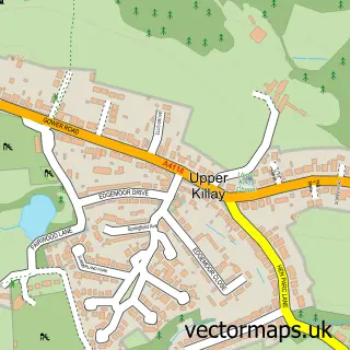
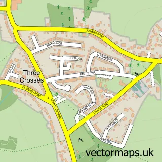
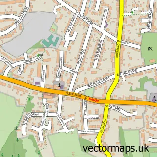
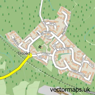
Nearby street map samples around Waunarlwydd

More street maps in West Glamorgan
750 metre map area coverage
Boundary, postcode and point of interest information for the 750m x 750m rectangle centred on this sample map.
Boundaries containing map centre
Constituency: Gower Co Const
District: Abertawe - Swansea
Icb: Abertawe Bro Morgannwg University
Parish: Waunarlwydd Community
Police Force: south wales
Postcode District: SA5
Postcode Sector: SA5 4
Nearby boundaries intersecting sample
No additional intersecting boundaries found.
Postcode coverage
POI category counts
Convenience Store: 4
Building Supply Store: 2
Post Office: 2
Sports Club And League: 2
Automotive Repair: 1
Baptist Church: 1
Beauty And Spa: 1
Car Window Tinting: 1
Child Care And Day Care: 1
College University: 1
Sample points of interest
- Target Mini Repairs
- Capel Seion
- Fab lash and beauty
- Complete Carpentry Solutions
- JRT Landscapes
- UK Auto Pro Mobile Window Tinting
- Swansea Childminder
- Dissertation Manager Online
- Waunarlwydd Community Centre
- Côr Waunarlwydd Choir
- Family Shopper
- Jak's Stores
Create a larger editable map of Waunarlwydd
This sample shows only a 750 metre area. To create a larger map of Waunarlwydd, use our map builder to choose your own coverage area, add titles and download editable SVG, PDF and PNG files.
Create a custom map of Waunarlwydd