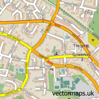
This Three Crosses street map is a detailed vector street map covering a 750m x 750m area. Select a larger area to create and download your own vector street map of Three Crosses.
The 750-metre map sample for Three Crosses covers 355 mapped buildings and approximately 14.9 km of road detail, of which 16 named roads are named. The immediate area includes 1 school, 1 GP surgery within 2 miles, 3 pubs and 1 MOT station within 2 miles. The wider area around Three Crosses features 2 tourism points of interest, 3 food and drink venues and 1 campsite within 2 miles. To create a larger or custom map of Three Crosses, the map builder lets you define your own coverage area and download editable SVG, PDF and PNG files.
Create a larger editable map of Three Crosses
Choose any area you need and generate a high-quality vector map instantly. Perfect for print, planning, design, business and personal use.

This Three Crosses street map in West Glamorgan is available as downloadable SVG, PDF and PNG map files, or as a printed map for planning, business, display, education, local information and design work. You can also create a larger custom map area using the map selector.
What this Three Crosses map sample shows
Three Crosses lies within Three Crosses Community parish, part of Fairwood ward in the Abertawe - Swansea local authority area. The postcode geography for this area includes the SA postcode area, the SA4 postcode district and the SA4 3 postcode sector. Residents fall under the Swansea Bay University Local Health Board for NHS services.
Local features near Three Crosses
Within 2 milesAmenities and services in and around Three Crosses.
Administrative and postcode information for Three Crosses
The local authority covering Three Crosses is Abertawe - Swansea, within the county of West Glamorgan. The settlement lies within Fairwood ward and Three Crosses Community civil parish. The SA4 postcode district and SA4 3 postcode sector serve the immediate area. NHS provision in the area is delivered through Swansea Bay University Health Board.
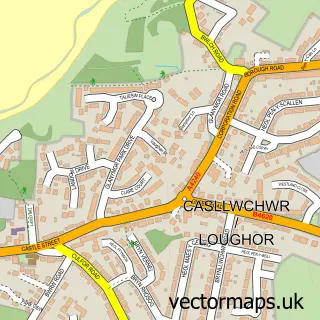
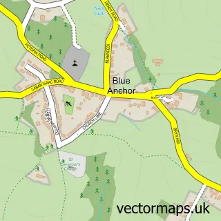
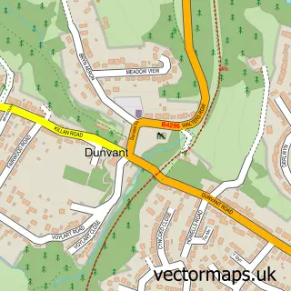
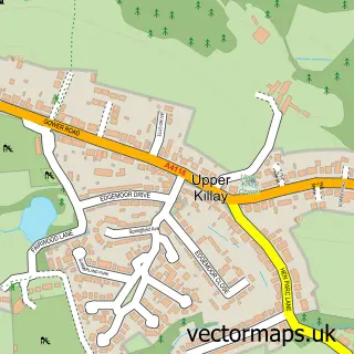
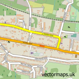
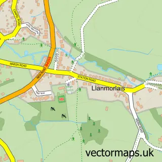
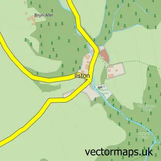
Nearby street map samples around Three Crosses


More street maps in West Glamorgan
750 metre map area coverage
Boundary, postcode and point of interest information for the 750m x 750m rectangle centred on this sample map.
Boundaries containing map centre
Constituency: Gower Co Const
District: Abertawe - Swansea
Icb: Abertawe Bro Morgannwg University
Parish: Three Crosses Community
Police Force: south wales
Postcode District: SA4
Postcode Sector: SA4 3
Nearby boundaries intersecting sample
No additional intersecting boundaries found.
Postcode coverage
POI category counts
Pub: 3
Beauty Salon: 2
Professional Services: 2
Accommodation: 1
Bar: 1
Carpenter: 1
Church Cathedral: 1
Convenience Store: 1
Currency Exchange: 1
Elementary School: 1
Sample points of interest
- Tirmynydd Farm
- Poundffald Inn
- Denise Farrey PMU Nails & Beauty
- Lucy's Beauty Studio
- Chris Bown Carpentry services
- Capel y Crwys
- The Country Stores
- Post Office Travel Money
- Crwys Primary School
- Swansea Winter Wonderland At Gower Fresh Christmas Trees
- Gower Fresh Christmas Trees Farm
- AR Window Cleaning | Three Crosses
Create a larger editable map of Three Crosses
This sample shows only a 750 metre area. To create a larger map of Three Crosses, use our map builder to choose your own coverage area, add titles and download editable SVG, PDF and PNG files.
Create a custom map of Three Crosses