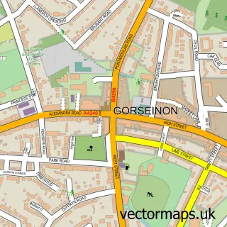
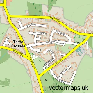
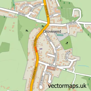
This Gowerton street map is a detailed vector street map covering a 750m x 750m area. Select a larger area to create and download your own vector street map of Gowerton.
The 750-metre map sample for Gowerton covers 543 mapped buildings and approximately 19.5 km of road detail, of which 46 named roads are named. The immediate area includes 1 school, 1 GP surgery within 2 miles, 3 pubs and 11 MOT stations within 2 miles. The wider area around Gowerton features 1 tourism point of interest, 9 food and drink venues and 1 campsite within 2 miles. To create a larger or custom map of Gowerton, the map builder lets you define your own coverage area and download editable SVG, PDF and PNG files.
Create a larger editable map of Gowerton
Choose any area you need and generate a high-quality vector map instantly. Perfect for print, planning, design, business and personal use.

This Gowerton street map in West Glamorgan is available as downloadable SVG, PDF and PNG map files, or as a printed map for planning, business, display, education, local information and design work. You can also create a larger custom map area using the map selector.
What this Gowerton map sample shows
Gowerton lies within Gowerton Community parish, part of Gowerton ward in the Abertawe - Swansea local authority area. The postcode geography for this area includes the SA postcode area, the SA4 postcode district and the SA4 3 postcode sector. Residents fall under the Swansea Bay University Local Health Board for NHS services.
Local features near Gowerton
Within 2 milesAmenities and services in and around Gowerton.
Administrative and postcode information for Gowerton
The local authority covering Gowerton is Abertawe - Swansea, within the county of West Glamorgan. The settlement lies within Gowerton ward and Gowerton Community civil parish. The SA4 postcode district and SA4 3 postcode sector serve the immediate area. NHS provision in the area is delivered through Swansea Bay University Health Board.
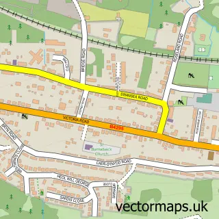
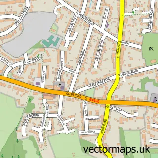
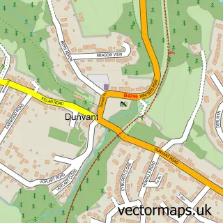
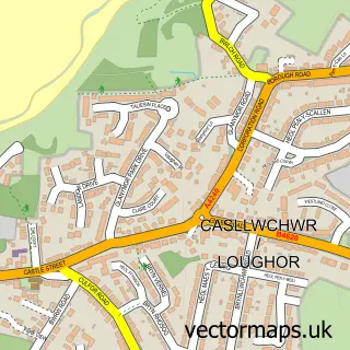
Nearby street map samples around Gowerton

More street maps in West Glamorgan
750 metre map area coverage
Boundary, postcode and point of interest information for the 750m x 750m rectangle centred on this sample map.
Boundaries containing map centre
Constituency: Gower Co Const
District: Abertawe - Swansea
Icb: Abertawe Bro Morgannwg University
Parish: Gowerton Community
Police Force: south wales
Postcode District: SA4
Postcode Sector: SA4 3
Nearby boundaries intersecting sample
Postcode District: SA5
Postcode Sector: SA5 4
Postcode coverage
POI category counts
Hair Salon: 6
Beauty Salon: 4
Elementary School: 4
Indian Restaurant: 4
Building Supply Store: 3
Coffee Shop: 3
Convenience Store: 3
Funeral Services And Cemeteries: 3
Pharmacy: 3
Pub: 3
Sample points of interest
- Sarah Neale Hypnotherapy
- Gowerton Rugby Club
- The Cooperative Food Gowerton Sterry Road, Gowerton
- Jenkins Bakery
- Motley Pie & Coffee
- Harvester Gowerton
- Gents of Gower - Gentlemen's Barber
- The Man Cave
- Lidia Buta Lash & Brow Boutique
- Lisa Curzon
- Ocean Aesthetics - Swansea
- Shade.Beauty
Create a larger editable map of Gowerton
This sample shows only a 750 metre area. To create a larger map of Gowerton, use our map builder to choose your own coverage area, add titles and download editable SVG, PDF and PNG files.
Create a custom map of Gowerton