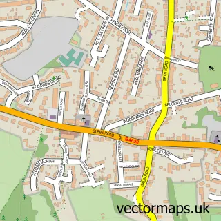
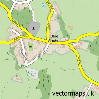
This Loughor street map is a detailed vector street map covering a 750m x 750m area. Select a larger area to create and download your own vector street map of Loughor.
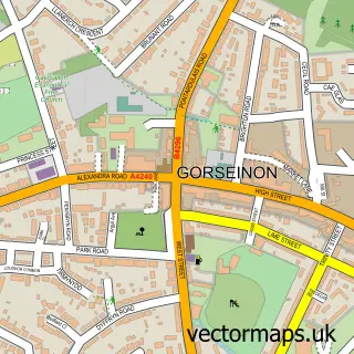
The 750-metre map sample for Loughor covers 492 mapped buildings and approximately 15.2 km of road detail, of which 30 named roads are named. The immediate area includes 1 GP surgery within 2 miles, 4 pubs and 1 MOT station, with 8 within 2 miles. The wider area around Loughor features 1 tourism point of interest, 4 food and drink venues and 1 campsite within 2 miles. To create a larger or custom map of Loughor, the map builder lets you define your own coverage area and download editable SVG, PDF and PNG files.
Create a larger editable map of Loughor
Choose any area you need and generate a high-quality vector map instantly. Perfect for print, planning, design, business and personal use.

This Loughor street map in West Glamorgan is available as downloadable SVG, PDF and PNG map files, or as a printed map for planning, business, display, education, local information and design work. You can also create a larger custom map area using the map selector.
What this Loughor map sample shows
Loughor lies within Llwchwr Community parish, part of Lower Loughor ward in the Abertawe - Swansea local authority area. The postcode geography for this area includes the SA postcode area, the SA4 postcode district and the SA4 6 postcode sector. Residents fall under the Swansea Bay University Local Health Board for NHS services.
Local features near Loughor
Within 2 milesAmenities and services in and around Loughor.
Administrative and postcode information for Loughor
Loughor lies within Llwchwr Community parish, part of Lower Loughor ward in the Abertawe - Swansea local authority area. The postcode geography for this area includes the SA postcode area, the SA4 postcode district and the SA4 6 postcode sector. Residents fall under the Swansea Bay University Local Health Board for NHS services.
Nearby street map samples around Loughor

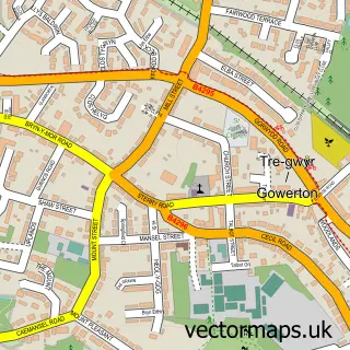
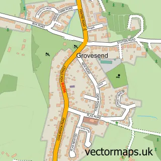
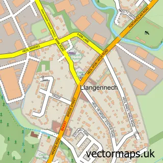

More street maps in West Glamorgan
750 metre map area coverage
Boundary, postcode and point of interest information for the 750m x 750m rectangle centred on this sample map.
Boundaries containing map centre
Constituency: Gower Co Const
District: Abertawe - Swansea
Icb: Abertawe Bro Morgannwg University
Parish: Llwchwr Community
Police Force: south wales
Postcode District: SA4
Postcode Sector: SA4 6
Nearby boundaries intersecting sample
Parish: Gorseinon Community
Police Force: dyfed-powys
Postcode coverage
POI category counts
Pub: 4
Building Supply Store: 2
Business Management Services: 2
Arts And Entertainment: 1
Automotive Repair: 1
Business Brokers: 1
Business Consulting: 1
Car Dealer: 1
Carpet Store: 1
Church Cathedral: 1
Sample points of interest
- Happily Ever After - Swansea
- Castle Garages
- Charlie's Tree & Garden Services
- Davies Plastering
- CBS
- Stevens & Associates
- Amber Solutions Financial Planning LLP
- SRS Direct
- Castle Used Car Sales
- Mark Eynon Carpets & Flooring
- Pisgah Chapel
- SPAR
Create a larger editable map of Loughor
This sample shows only a 750 metre area. To create a larger map of Loughor, use our map builder to choose your own coverage area, add titles and download editable SVG, PDF and PNG files.
Create a custom map of Loughor