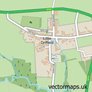
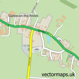
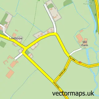
This Driffield street map is a detailed vector street map covering a 750m x 750m area. Select a larger area to create and download your own vector street map of Driffield.
The 750-metre map sample for Driffield covers 492 mapped buildings and approximately 19.5 km of road detail, of which 59 named roads are named. The immediate area includes 2 schools, 1 GP surgery, with 2 within 2 miles, 17 pubs and 3 MOT stations, with 8 within 2 miles. The wider area around Driffield features 30 food and drink venues and 5 hotels. To create a larger or custom map of Driffield, the map builder lets you define your own coverage area and download editable SVG, PDF and PNG files.
Create a larger editable map of Driffield
Choose any area you need and generate a high-quality vector map instantly. Perfect for print, planning, design, business and personal use.

This Driffield street map in East Riding of Yorkshire is available as downloadable SVG, PDF and PNG map files, or as a printed map for planning, business, display, education, local information and design work. You can also create a larger custom map area using the map selector.
What this Driffield map sample shows
Driffield lies within Driffield Cp parish, part of Driffield And Rural ward in the East Riding Of Yorkshire local authority area. The postcode geography for this area includes the YO postcode area, the YO25 postcode district and the YO25 5 postcode sector. Residents fall under the Nhs Humber And North Yorkshire Integrated Care Board for NHS services.
Local features near Driffield
Within 2 milesAmenities and services in and around Driffield.
Administrative and postcode information for Driffield
Driffield lies within Driffield Cp parish, part of Driffield And Rural ward in the East Riding Of Yorkshire local authority area. The postcode geography for this area includes the YO postcode area, the YO25 postcode district and the YO25 5 postcode sector. Residents fall under the Nhs Humber And North Yorkshire Integrated Care Board for NHS services.
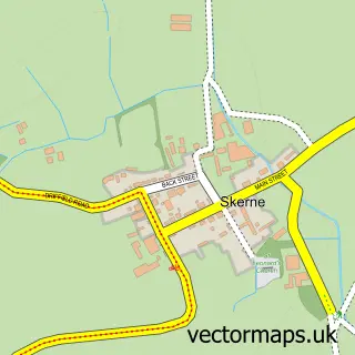
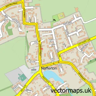
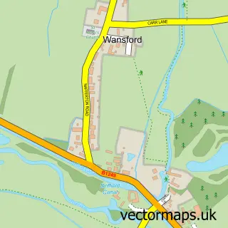
Nearby street map samples around Driffield

More street maps in East Riding of Yorkshire
750 metre map area coverage
Boundary, postcode and point of interest information for the 750m x 750m rectangle centred on this sample map.
Boundaries containing map centre
Constituency: Bridlington and The Wolds Co Const
District: East Riding of Yorkshire
Icb: NHS Humber and North Yorkshire ICB
Parish: Driffield CP
Police Force: humberside
Postcode District: YO25
Postcode Sector: YO25 6
Ward: Driffield and Rural Ward
Nearby boundaries intersecting sample
Postcode Sector: YO25 5
Postcode coverage
POI category counts
Pub: 17
Beauty Salon: 12
Hair Salon: 12
Cafe: 9
Furniture Store: 9
Building Supply Store: 8
Flowers And Gifts Shop: 8
Beauty And Spa: 7
Bakery: 6
Barber: 6
Sample points of interest
- Assured Accountancy
- Bradbury & Co.
- Jackson Robson Licence
- Magnolia Tree Acupuncture
- Driffield Ambulance Station
- All Saints, Great Driffield
- Age UK
- David Wallis
- Driffield Railwayana
- Sue Ryder
- The Crested China Company
- M J Booth Electric
Create a larger editable map of Driffield
This sample shows only a 750 metre area. To create a larger map of Driffield, use our map builder to choose your own coverage area, add titles and download editable SVG, PDF and PNG files.
Create a custom map of Driffield