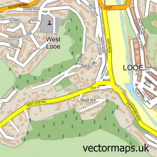
This Duloe street map is a detailed vector street map covering a 750m x 750m area. Select a larger area to create and download your own vector street map of Duloe.
The 750-metre map sample for Duloe covers 99 mapped buildings and approximately 8.7 km of road detail, of which 4 named roads are named. The immediate area includes 1 pub. The wider area around Duloe features 1 tourism point of interest, 1 food and drink venue and 2 campsites within 2 miles. To create a larger or custom map of Duloe, the map builder lets you define your own coverage area and download editable SVG, PDF and PNG files.
Create a larger editable map of Duloe
Choose any area you need and generate a high-quality vector map instantly. Perfect for print, planning, design, business and personal use.

This Duloe street map in Cornwall is available as downloadable SVG, PDF and PNG map files, or as a printed map for planning, business, display, education, local information and design work. You can also create a larger custom map area using the map selector.
What this Duloe map sample shows
Duloe lies within Duloe Cp parish, part of Trelawny ward in the Cornwall local authority area. The postcode geography for this area includes the PL postcode area, the PL14 postcode district and the PL14 4 postcode sector. Residents fall under the Nhs Cornwall And The Isles Of Scilly Integrated Care Board for NHS services.
Local features near Duloe
Within 2 milesAmenities and services in and around Duloe.
Administrative and postcode information for Duloe
The local authority covering Duloe is Cornwall, within the county of Cornwall. The settlement lies within Trelawny ward and Duloe Cp civil parish. The PL14 postcode district and PL14 4 postcode sector serve the immediate area. NHS provision in the area is delivered through University Hospitals Plymouth Nhs Trust.
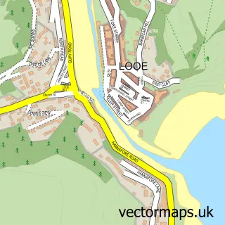
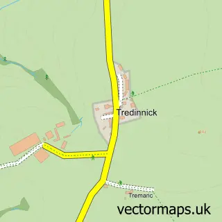
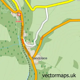
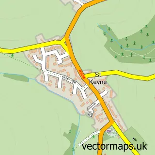
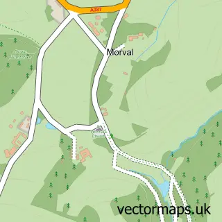
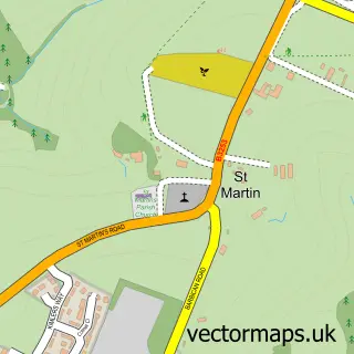
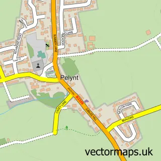
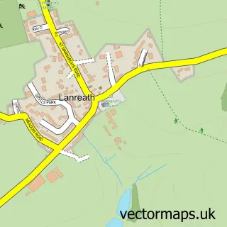
Nearby street map samples around Duloe

More street maps in Cornwall
750 metre map area coverage
Boundary, postcode and point of interest information for the 750m x 750m rectangle centred on this sample map.
Boundaries containing map centre
Constituency: South East Cornwall Co Const
District: Cornwall
Icb: NHS Cornwall and the Isles of Scilly ICB
Parish: Duloe CP
Police Force: devon and cornwall
Postcode District: PL14
Postcode Sector: PL14 4
Nearby boundaries intersecting sample
No additional intersecting boundaries found.
Postcode coverage
POI category counts
Framing Store: 2
Web Designer: 2
Automotive: 1
Building Supply Store: 1
Community Center: 1
Convenience Store: 1
Korean Grocery Store: 1
Landmark And Historical Building: 1
Post Office: 1
Pub: 1
Sample points of interest
- Kernow EMC Ltd.
- DPS Stonemasons
- Duloe jubilee centre
- Duloe Community Shop
- Looe Gallery
- South East Cornwall Framing
- Duloe Community Shop
- Duloe Stone Circle
- Post Office
- The Plough
- Post Office-Duloe
- Some Guy Called Ralph
Create a larger editable map of Duloe
This sample shows only a 750 metre area. To create a larger map of Duloe, use our map builder to choose your own coverage area, add titles and download editable SVG, PDF and PNG files.
Create a custom map of Duloe