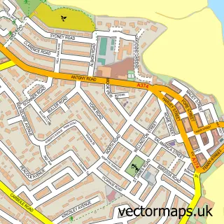
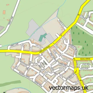
This Plymouth street map is a detailed vector street map covering a 750m x 750m area. Select a larger area to create and download your own vector street map of Plymouth.
The 750-metre map sample for Plymouth covers 130 mapped buildings and approximately 22.9 km of road detail, of which 60 named roads are named. The immediate area includes 2 schools, 11 GP surgeries within 2 miles, 19 pubs and 43 MOT stations within 2 miles. The wider area around Plymouth features 13 tourism points of interest, 109 food and drink venues and 11 hotels. To create a larger or custom map of Plymouth, the map builder lets you define your own coverage area and download editable SVG, PDF and PNG files.
Create a larger editable map of Plymouth
Choose any area you need and generate a high-quality vector map instantly. Perfect for print, planning, design, business and personal use.

This Plymouth street map in Devon is available as downloadable SVG, PDF and PNG map files, or as a printed map for planning, business, display, education, local information and design work. You can also create a larger custom map area using the map selector.
What this Plymouth map sample shows
Plymouth lies within City Of Plymouth (B) parish, part of Plymstock Radford ward in the City Of Plymouth (B) local authority area. The postcode geography for this area includes the PL postcode area, the PL9 postcode district and the PL9 9 postcode sector. Residents fall under the Nhs Devon Integrated Care Board for NHS services.
Local features near Plymouth
Within 2 milesAmenities and services in and around Plymouth.
Administrative and postcode information for Plymouth
Plymouth lies within City Of Plymouth (B) parish, part of Plymstock Radford ward in the City Of Plymouth (B) local authority area. The postcode geography for this area includes the PL postcode area, the PL9 postcode district and the PL9 9 postcode sector. Residents fall under the Nhs Devon Integrated Care Board for NHS services.
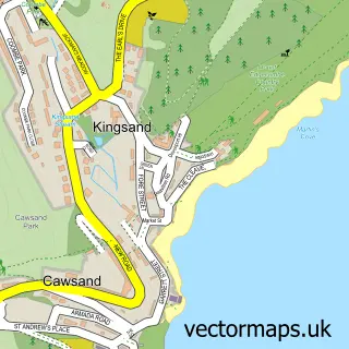
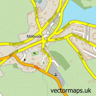
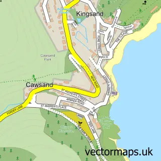
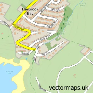
Nearby street map samples around Plymouth
More street maps in Devon
750 metre map area coverage
Boundary, postcode and point of interest information for the 750m x 750m rectangle centred on this sample map.
Boundaries containing map centre
Constituency: Plymouth Sutton and Devonport Boro Const
District: City of Plymouth (B)
Icb: NHS Devon ICB
Police Force: devon and cornwall
Postcode District: PL1
Postcode Sector: PL1 1
Ward: St. Peter and the Waterfront Ward
Nearby boundaries intersecting sample
Postcode District: PL4
Postcode Sector: PL1 2, PL1 3, PL1 5, PL4 0, PL4 8, PL4 9
Ward: Drake Ward
Postcode coverage
POI category counts
Clothing Store: 58
Jewelry Store: 41
Cafe: 38
Restaurant: 28
Beauty Salon: 25
Employment Agencies: 25
Coffee Shop: 24
Professional Services: 24
Bakery: 21
Hair Salon: 21
Sample points of interest
- Aspire House
- Capitol Students Discovery Heights
- Central Point
- PlymLiving
- Plymouth Cross House
- Prestige Student Living Saltwater Place
- Windwhistle Farm
- iQ Student Accommodation
- Aqua Accountants
- Bishop Fleming
- K and N Accountants
- TS Partners
Create a larger editable map of Plymouth
This sample shows only a 750 metre area. To create a larger map of Plymouth, use our map builder to choose your own coverage area, add titles and download editable SVG, PDF and PNG files.
Create a custom map of Plymouth