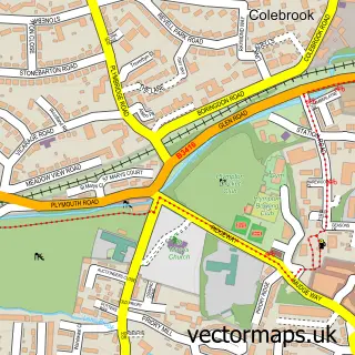
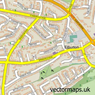
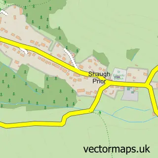
This Crownhill street map is a detailed vector street map covering a 750m x 750m area. Select a larger area to create and download your own vector street map of Crownhill.
The 750-metre map sample for Crownhill covers 415 mapped buildings and approximately 22.1 km of road detail, of which 39 named roads are named. The immediate area includes 1 primary school and 1 secondary school, 1 GP surgery, with 9 within 2 miles, 3 pubs and 1 MOT station, with 26 within 2 miles. The wider area around Crownhill features 2 tourism points of interest and 4 food and drink venues. To create a larger or custom map of Crownhill, the map builder lets you define your own coverage area and download editable SVG, PDF and PNG files.
Create a larger editable map of Crownhill
Choose any area you need and generate a high-quality vector map instantly. Perfect for print, planning, design, business and personal use.

This Crownhill street map in Devon is available as downloadable SVG, PDF and PNG map files, or as a printed map for planning, business, display, education, local information and design work. You can also create a larger custom map area using the map selector.
What this Crownhill map sample shows
Crownhill lies within City Of Plymouth (B) parish, part of Eggbuckland ward in the City Of Plymouth (B) local authority area. The postcode geography for this area includes the PL postcode area, the PL6 postcode district and the PL6 5 postcode sector. Residents fall under the Nhs Devon Integrated Care Board for NHS services.
Local features near Crownhill
Within 2 milesAmenities and services in and around Crownhill.
Administrative and postcode information for Crownhill
The local authority covering Crownhill is City Of Plymouth (B), within the county of Devon. The settlement lies within Eggbuckland ward and City Of Plymouth (B) civil parish. The PL6 postcode district and PL6 5 postcode sector serve the immediate area. NHS provision in the area is delivered through University Hospitals Plymouth Nhs Trust.
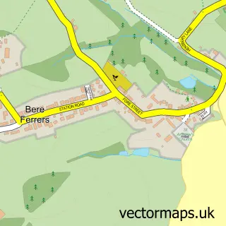
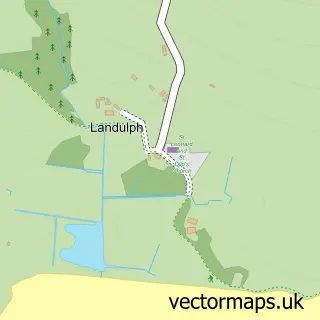
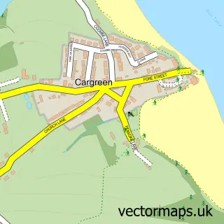
Nearby street map samples around Crownhill

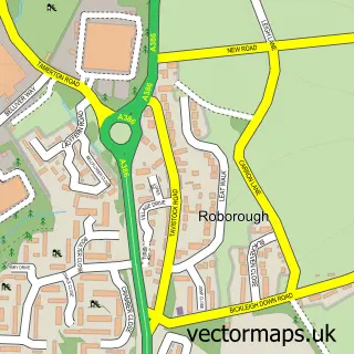
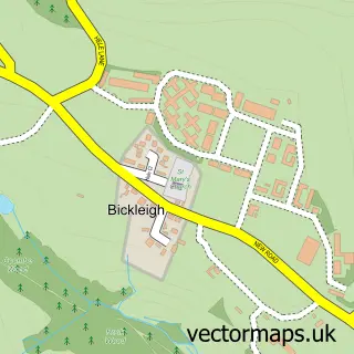
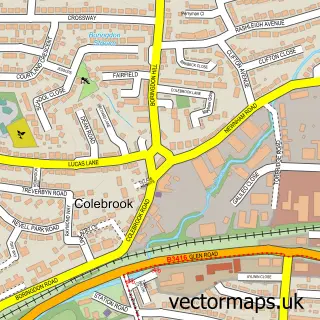
More street maps in Devon
750 metre map area coverage
Boundary, postcode and point of interest information for the 750m x 750m rectangle centred on this sample map.
Boundaries containing map centre
Constituency: Plymouth Moor View Boro Const
District: City of Plymouth (B)
Icb: NHS Devon ICB
Police Force: devon and cornwall
Postcode District: PL6
Postcode Sector: PL6 5
Ward: Eggbuckland Ward
Nearby boundaries intersecting sample
Postcode District: PL5
Postcode Sector: PL5 3
Ward: Budshead Ward
Postcode coverage
POI category counts
Professional Services: 5
Real Estate Agent: 4
Bakery: 3
Banks: 3
Beauty Salon: 3
Indian Restaurant: 3
Pub: 3
Anglican Church: 2
Automotive Parts And Accessories: 2
Barber: 2
Sample points of interest
- Carla and Co
- Plymouth Homeopathy
- The Church of the Ascension
- The Church of the Ascension
- Top Drawer Fashions
- The Cooperative Food (BF) Crownhill, Crownhill
- Rowe Electrical
- Halfords Autocentre Plymouth (Crownhill)
- Halfords Autocentres
- Van Essentials
- Plymouth (Crownhill)
- Fozzy's Frostings
Create a larger editable map of Crownhill
This sample shows only a 750 metre area. To create a larger map of Crownhill, use our map builder to choose your own coverage area, add titles and download editable SVG, PDF and PNG files.
Create a custom map of Crownhill