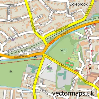
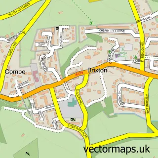
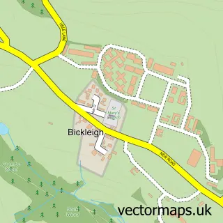
This Colebrook Village street map is a detailed vector street map covering a 750m x 750m area. Select a larger area to create and download your own vector street map of Colebrook Village.
The 750-metre map sample for Colebrook Village covers 571 mapped buildings and approximately 21.1 km of road detail, of which 46 named roads are named. The immediate area includes 2 GP surgeries within 2 miles, 1 pub and 2 MOT stations, with 19 within 2 miles. The wider area around Colebrook Village features 5 food and drink venues, 1 hotel and 1 campsite within 2 miles. To create a larger or custom map of Colebrook Village, the map builder lets you define your own coverage area and download editable SVG, PDF and PNG files.
Create a larger editable map of Colebrook Village
Choose any area you need and generate a high-quality vector map instantly. Perfect for print, planning, design, business and personal use.

This Colebrook Village street map in Devon is available as downloadable SVG, PDF and PNG map files, or as a printed map for planning, business, display, education, local information and design work. You can also create a larger custom map area using the map selector.
What this Colebrook Village map sample shows
Colebrook Village lies within City Of Plymouth (B) parish, part of Plympton Erle ward in the City Of Plymouth (B) local authority area. The postcode geography for this area includes the PL postcode area, the PL7 postcode district and the PL7 2 postcode sector. Residents fall under the Nhs Devon Integrated Care Board for NHS services.
Local features near Colebrook Village
Within 2 milesAmenities and services in and around Colebrook Village.
Administrative and postcode information for Colebrook Village
Colebrook Village lies within City Of Plymouth (B) parish, part of Plympton Erle ward in the City Of Plymouth (B) local authority area. The postcode geography for this area includes the PL postcode area, the PL7 postcode district and the PL7 2 postcode sector. Residents fall under the Nhs Devon Integrated Care Board for NHS services.
Nearby street map samples around Colebrook Village

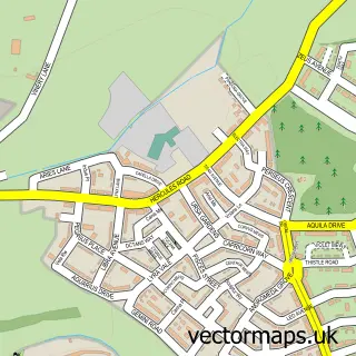
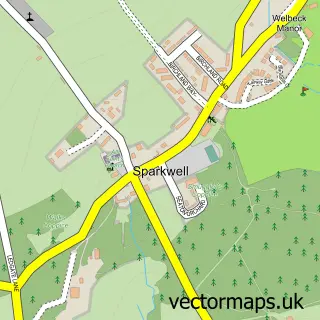
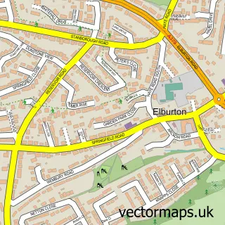
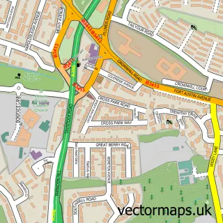
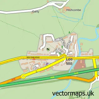
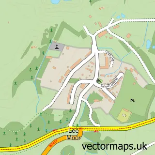
More street maps in Devon
750 metre map area coverage
Boundary, postcode and point of interest information for the 750m x 750m rectangle centred on this sample map.
Boundaries containing map centre
Constituency: South West Devon Co Const
District: City of Plymouth (B)
Icb: NHS Devon ICB
Police Force: devon and cornwall
Postcode District: PL7
Postcode Sector: PL7 4
Ward: Plympton St. Mary Ward
Nearby boundaries intersecting sample
Postcode Sector: PL7 2
Postcode coverage
POI category counts
Professional Services: 4
Used Car Dealer: 4
Automotive Repair: 3
Car Dealer: 3
Photographer: 3
Preschool: 3
Restaurant: 3
Beauty Salon: 2
Building Supply Store: 2
Convenience Store: 2
Sample points of interest
- Carls Boxing Stable
- Woodside Animal Welfare Trust - Charity Shops
- David Commander Artworks
- The Cooperative Food (BF) Chaddlewood 1 (ERF), Plympton
- Longlife Exhausts
- New Look Cars
- Transport Repair Garage
- Vehicle Retrim Services Ltd
- Biggers Bar
- Mothecombe Beach
- Hair Studio
- Visage
Create a larger editable map of Colebrook Village
This sample shows only a 750 metre area. To create a larger map of Colebrook Village, use our map builder to choose your own coverage area, add titles and download editable SVG, PDF and PNG files.
Create a custom map of Colebrook Village