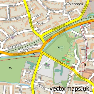
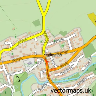
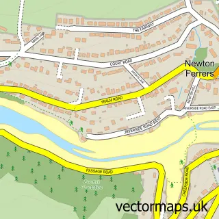
This Sherford street map is a detailed vector street map covering a 750m x 750m area. Select a larger area to create and download your own vector street map of Sherford.
The 750-metre map sample for Sherford covers 347 mapped buildings and approximately 16.3 km of road detail, of which 38 named roads are named. The immediate area includes 1 school, 3 GP surgeries within 2 miles and 18 MOT stations within 2 miles. The wider area around Sherford features 1 food and drink venue and 1 campsite within 2 miles. To create a larger or custom map of Sherford, the map builder lets you define your own coverage area and download editable SVG, PDF and PNG files.
Create a larger editable map of Sherford
Choose any area you need and generate a high-quality vector map instantly. Perfect for print, planning, design, business and personal use.

This Sherford street map in Devon is available as downloadable SVG, PDF and PNG map files, or as a printed map for planning, business, display, education, local information and design work. You can also create a larger custom map area using the map selector.
What this Sherford map sample shows
Sherford lies within City Of Plymouth (B) parish, part of Plymstock Dunstone ward in the City Of Plymouth (B) local authority area. The postcode geography for this area includes the PL postcode area, the PL9 postcode district and the PL9 8 postcode sector. Residents fall under the Nhs Devon Integrated Care Board for NHS services.
Local features near Sherford
Within 2 milesAmenities and services in and around Sherford.
Administrative and postcode information for Sherford
Sherford lies within City Of Plymouth (B) parish, part of Plymstock Dunstone ward in the City Of Plymouth (B) local authority area. The postcode geography for this area includes the PL postcode area, the PL9 postcode district and the PL9 8 postcode sector. Residents fall under the Nhs Devon Integrated Care Board for NHS services.
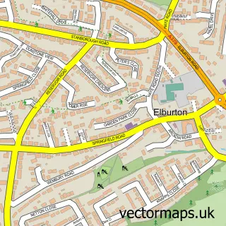
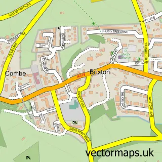
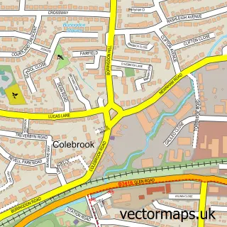
Nearby street map samples around Sherford

More street maps in Devon
750 metre map area coverage
Boundary, postcode and point of interest information for the 750m x 750m rectangle centred on this sample map.
Boundaries containing map centre
Constituency: South West Devon Co Const
County: Devon County
District: South Hams District
Icb: NHS Devon ICB
Parish: Brixton CP
Police Force: devon and cornwall
Postcode District: PL7
Postcode Sector: PL7 5
Ward: Wembury & Brixton Ward
Nearby boundaries intersecting sample
District: City of Plymouth (B)
Postcode District: PL8, PL9
Postcode Sector: PL8 2, PL9 8
Ward: Plymstock Dunstone Ward
Postcode coverage
POI category counts
Beauty Salon: 3
Anglican Church: 1
Bakery: 1
Bike Repair Maintenance: 1
Cafe: 1
Dog Walkers: 1
Elementary School: 1
Hvac Supplier: 1
Plumbing: 1
Property Management: 1
Sample points of interest
- Sherford Community Church
- Little Wren Bakes
- Bonnie Beauty Sherford
- Jade Alethea Nails and Beauty
- Olivia Tuck Beauty
- The Garage Cycleworx
- House of Brews
- Pampurred Pet
- Sherford Vale Primary School
- RS Plumbing & Heating
- ProPlumb South West LTD
- LR F Plymouth Property Maintenance
Create a larger editable map of Sherford
This sample shows only a 750 metre area. To create a larger map of Sherford, use our map builder to choose your own coverage area, add titles and download editable SVG, PDF and PNG files.
Create a custom map of Sherford