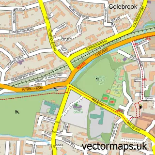
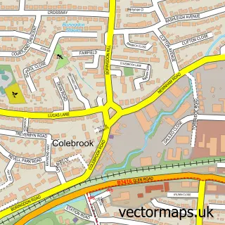
This Wembury street map is a detailed vector street map covering a 750m x 750m area. Select a larger area to create and download your own vector street map of Wembury.
The 750-metre map sample for Wembury covers 529 mapped buildings and approximately 12.4 km of road detail, of which 25 named roads are named. The immediate area includes 1 GP surgery. The wider area around Wembury features 1 tourism point of interest, 1 hotel and 1 campsite within 2 miles. To create a larger or custom map of Wembury, the map builder lets you define your own coverage area and download editable SVG, PDF and PNG files.
Create a larger editable map of Wembury
Choose any area you need and generate a high-quality vector map instantly. Perfect for print, planning, design, business and personal use.

This Wembury street map in Devon is available as downloadable SVG, PDF and PNG map files, or as a printed map for planning, business, display, education, local information and design work. You can also create a larger custom map area using the map selector.
What this Wembury map sample shows
Wembury lies within Wembury Cp parish, part of Wembury & Brixton ward in the South Hams District local authority area. The postcode geography for this area includes the PL postcode area, the PL9 postcode district and the PL9 0 postcode sector. Residents fall under the Nhs Devon Integrated Care Board for NHS services.
Local features near Wembury
Within 2 milesAmenities and services in and around Wembury.
Administrative and postcode information for Wembury
The local authority covering Wembury is South Hams District, within the county of Devon. The settlement lies within Wembury & Brixton ward and Wembury Cp civil parish. The PL9 postcode district and PL9 0 postcode sector serve the immediate area. NHS provision in the area is delivered through University Hospitals Plymouth Nhs Trust.
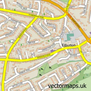
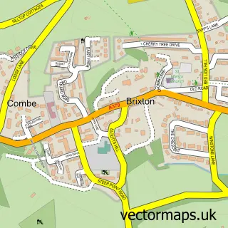
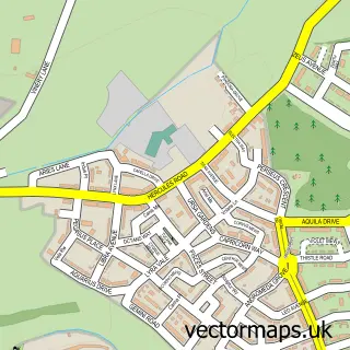
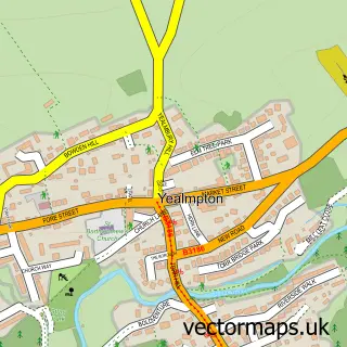
Nearby street map samples around Wembury

More street maps in Devon
750 metre map area coverage
Boundary, postcode and point of interest information for the 750m x 750m rectangle centred on this sample map.
Boundaries containing map centre
Constituency: South West Devon Co Const
County: Devon County
District: South Hams District
Icb: NHS Devon ICB
Parish: Wembury CP
Police Force: devon and cornwall
Postcode District: PL9
Postcode Sector: PL9 0
Ward: Wembury & Brixton Ward
Nearby boundaries intersecting sample
No additional intersecting boundaries found.
Postcode coverage
POI category counts
Beauty Salon: 2
Doctor: 2
Dog Walkers: 2
Appliance Store: 1
Barber: 1
Beauty And Spa: 1
Beauty Product Supplier: 1
Bed And Breakfast: 1
Bridal Shop: 1
Contractor: 1
Sample points of interest
- ABN Domestic Appliances
- Wembury Barbers
- Para Medical Skin & Scar Practice
- Harmony Hair & Beauty
- Blush Hair and Beauty
- Louise Viggers Temple Spa
- Sea Change
- La Luxe Bridal
- Derna Landscapes
- Rowena Slater Counselling and Hypnotherapy
- Dr S G Bennett
- Wembury Surgery
Create a larger editable map of Wembury
This sample shows only a 750 metre area. To create a larger map of Wembury, use our map builder to choose your own coverage area, add titles and download editable SVG, PDF and PNG files.
Create a custom map of Wembury