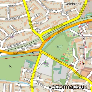
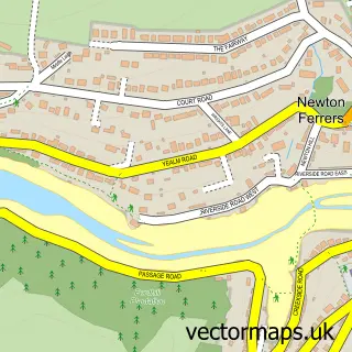
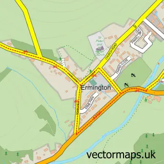
This Yealmpton street map is a detailed vector street map covering a 750m x 750m area. Select a larger area to create and download your own vector street map of Yealmpton.
The 750-metre map sample for Yealmpton covers 283 mapped buildings and approximately 12.9 km of road detail, of which 22 named roads are named. The immediate area includes 1 GP surgery, 3 pubs and 1 MOT station. The wider area around Yealmpton features 2 tourism points of interest, 5 food and drink venues and 1 hotel. To create a larger or custom map of Yealmpton, the map builder lets you define your own coverage area and download editable SVG, PDF and PNG files.
Create a larger editable map of Yealmpton
Choose any area you need and generate a high-quality vector map instantly. Perfect for print, planning, design, business and personal use.

This Yealmpton street map in Devon is available as downloadable SVG, PDF and PNG map files, or as a printed map for planning, business, display, education, local information and design work. You can also create a larger custom map area using the map selector.
What this Yealmpton map sample shows
Yealmpton lies within Yealmpton Cp parish, part of Newton & Yealmpton ward in the South Hams District local authority area. The postcode geography for this area includes the PL postcode area, the PL8 postcode district and the PL8 2 postcode sector. Residents fall under the Nhs Devon Integrated Care Board for NHS services.
Local features near Yealmpton
Within 2 milesAmenities and services in and around Yealmpton.
Administrative and postcode information for Yealmpton
The local authority covering Yealmpton is South Hams District, within the county of Devon. The settlement lies within Newton & Yealmpton ward and Yealmpton Cp civil parish. The PL8 postcode district and PL8 2 postcode sector serve the immediate area. NHS provision in the area is delivered through University Hospitals Plymouth Nhs Trust.
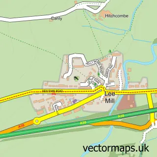
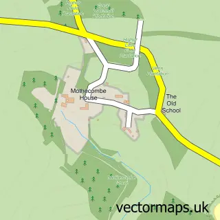
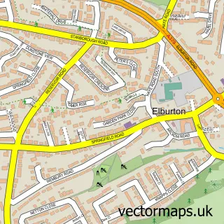
Nearby street map samples around Yealmpton

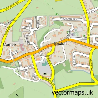
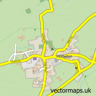
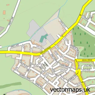
More street maps in Devon
750 metre map area coverage
Boundary, postcode and point of interest information for the 750m x 750m rectangle centred on this sample map.
Boundaries containing map centre
Constituency: South West Devon Co Const
County: Devon County
District: South Hams District
Icb: NHS Devon ICB
Parish: Yealmpton CP
Police Force: devon and cornwall
Postcode District: PL8
Postcode Sector: PL8 2
Ward: Newton & Yealmpton Ward
Nearby boundaries intersecting sample
No additional intersecting boundaries found.
Postcode coverage
POI category counts
Pub: 3
Real Estate Agent: 3
Convenience Store: 2
Doctor: 2
Gas Station: 2
Korean Grocery Store: 2
Professional Services: 2
Automotive Repair: 1
Cafe: 1
Chinese Restaurant: 1
Sample points of interest
- Yealm Motor Services
- Nelli's Village Cafe
- Ming
- St Bartholomew's Church
- Old Mother Hubbards
- Londis
- Yealmpton Stores
- Yealmpton Dental Practice
- Yealm Medical Centre
- Yealm Medical Centre
- Yealmpton Nursery
- Deer Park Farm
Create a larger editable map of Yealmpton
This sample shows only a 750 metre area. To create a larger map of Yealmpton, use our map builder to choose your own coverage area, add titles and download editable SVG, PDF and PNG files.
Create a custom map of Yealmpton