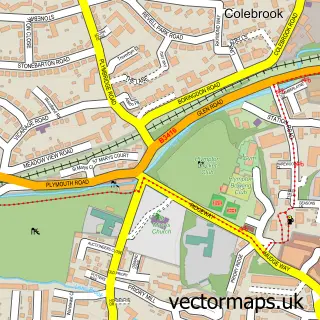
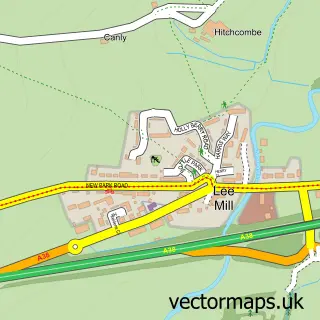
This Brixton street map is a detailed vector street map covering a 750m x 750m area. Select a larger area to create and download your own vector street map of Brixton.
The 750-metre map sample for Brixton covers 264 mapped buildings and approximately 18.2 km of road detail, of which 24 named roads are named. The immediate area includes 1 school, 1 GP surgery within 2 miles, 1 pub and 3 MOT stations within 2 miles. The wider area around Brixton features 1 tourism point of interest, 1 food and drink venue and 1 campsite within 2 miles. To create a larger or custom map of Brixton, the map builder lets you define your own coverage area and download editable SVG, PDF and PNG files.
Create a larger editable map of Brixton
Choose any area you need and generate a high-quality vector map instantly. Perfect for print, planning, design, business and personal use.

This Brixton street map in Devon is available as downloadable SVG, PDF and PNG map files, or as a printed map for planning, business, display, education, local information and design work. You can also create a larger custom map area using the map selector.
What this Brixton map sample shows
Brixton lies within Brixton Cp parish, part of Wembury & Brixton ward in the South Hams District local authority area. The postcode geography for this area includes the PL postcode area, the PL8 postcode district and the PL8 2 postcode sector. Residents fall under the Nhs Devon Integrated Care Board for NHS services.
Local features near Brixton
Within 2 milesAmenities and services in and around Brixton.
Administrative and postcode information for Brixton
Brixton lies within Brixton Cp parish, part of Wembury & Brixton ward in the South Hams District local authority area. The postcode geography for this area includes the PL postcode area, the PL8 postcode district and the PL8 2 postcode sector. Residents fall under the Nhs Devon Integrated Care Board for NHS services.
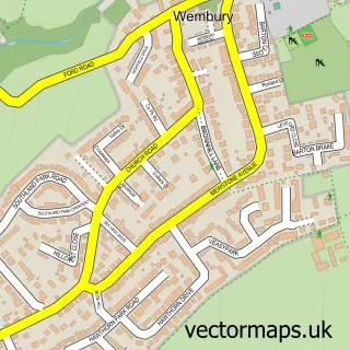
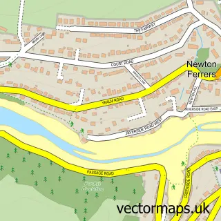
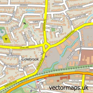
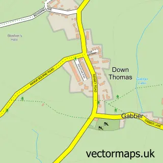
Nearby street map samples around Brixton

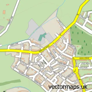
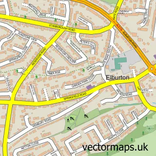
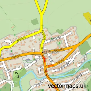
More street maps in Devon
750 metre map area coverage
Boundary, postcode and point of interest information for the 750m x 750m rectangle centred on this sample map.
Boundaries containing map centre
Constituency: South West Devon Co Const
County: Devon County
District: South Hams District
Icb: NHS Devon ICB
Parish: Brixton CP
Police Force: devon and cornwall
Postcode District: PL8
Postcode Sector: PL8 2
Ward: Wembury & Brixton Ward
Nearby boundaries intersecting sample
No additional intersecting boundaries found.
Postcode coverage
POI category counts
Funeral Services And Cemeteries: 2
Post Office: 2
Advertising Agency: 1
Anglican Church: 1
Art Gallery: 1
British Restaurant: 1
Cabin: 1
Campground: 1
Church Cathedral: 1
Elementary School: 1
Sample points of interest
- Fuel Communications
- St Mary's Parish Church Brixton
- Speculation Gallery
- Just Williams
- Torvale pod
- Brixton Caravan & Camping Park
- Saint Marys Church
- St Mary's C Of E Primary School
- Unique Staffing
- Leisure Engineering
- Brixton Fish and Chip Shop
- BAPelicious
Create a larger editable map of Brixton
This sample shows only a 750 metre area. To create a larger map of Brixton, use our map builder to choose your own coverage area, add titles and download editable SVG, PDF and PNG files.
Create a custom map of Brixton