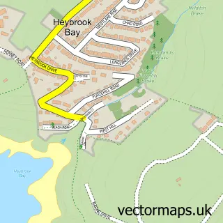
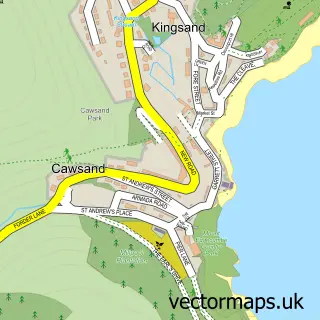
This Down Thomas street map is a detailed vector street map covering a 750m x 750m area. Select a larger area to create and download your own vector street map of Down Thomas.
The 750-metre map sample for Down Thomas covers 72 mapped buildings and approximately 9.7 km of road detail, of which 6 named roads are named. The immediate area includes 3 GP surgeries within 2 miles and 1 pub. The wider area around Down Thomas features 1 tourism point of interest, 1 food and drink venue and 1 campsite within 2 miles. To create a larger or custom map of Down Thomas, the map builder lets you define your own coverage area and download editable SVG, PDF and PNG files.
Create a larger editable map of Down Thomas
Choose any area you need and generate a high-quality vector map instantly. Perfect for print, planning, design, business and personal use.

This Down Thomas street map in Devon is available as downloadable SVG, PDF and PNG map files, or as a printed map for planning, business, display, education, local information and design work. You can also create a larger custom map area using the map selector.
What this Down Thomas map sample shows
Down Thomas lies within Wembury Cp parish, part of Wembury & Brixton ward in the South Hams District local authority area. The postcode geography for this area includes the PL postcode area, the PL9 postcode district and the PL9 0 postcode sector. Residents fall under the Nhs Devon Integrated Care Board for NHS services.
Local features near Down Thomas
Within 2 milesAmenities and services in and around Down Thomas.
Administrative and postcode information for Down Thomas
The local authority covering Down Thomas is South Hams District, within the county of Devon. The settlement lies within Wembury & Brixton ward and Wembury Cp civil parish. The PL9 postcode district and PL9 0 postcode sector serve the immediate area. NHS provision in the area is delivered through University Hospitals Plymouth Nhs Trust.
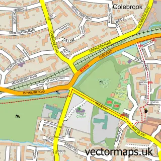
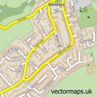
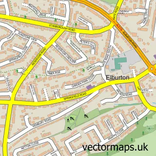
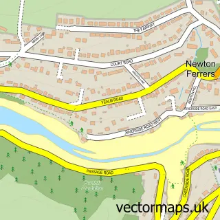
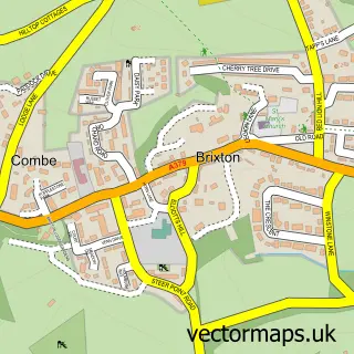
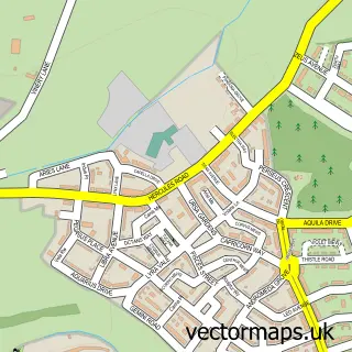
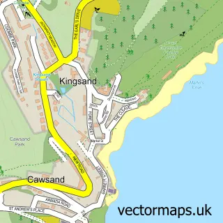
Nearby street map samples around Down Thomas

More street maps in Devon
750 metre map area coverage
Boundary, postcode and point of interest information for the 750m x 750m rectangle centred on this sample map.
Boundaries containing map centre
Constituency: South West Devon Co Const
County: Devon County
District: South Hams District
Icb: NHS Devon ICB
Parish: Wembury CP
Police Force: devon and cornwall
Postcode District: PL9
Postcode Sector: PL9 0
Ward: Wembury & Brixton Ward
Nearby boundaries intersecting sample
No additional intersecting boundaries found.
Postcode coverage
POI category counts
Post Office: 2
Bed And Breakfast: 1
Bicycle Shop: 1
Contractor: 1
Massage Therapy: 1
Package Locker: 1
Park: 1
Pet Services: 1
Pub: 1
Topic Concert Venue: 1
Sample points of interest
- Gabber Farm
- Alltrax
- Thistle Plastering
- Libraessence
- InPost
- Plymouth Sound
- Langdon Livery Wembury
- Down Thomas Post Office
- Post Office
- The Mussel Inn
- Down Thomas Silver Jubilee Hall
- Musto
Create a larger editable map of Down Thomas
This sample shows only a 750 metre area. To create a larger map of Down Thomas, use our map builder to choose your own coverage area, add titles and download editable SVG, PDF and PNG files.
Create a custom map of Down Thomas