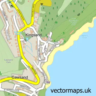
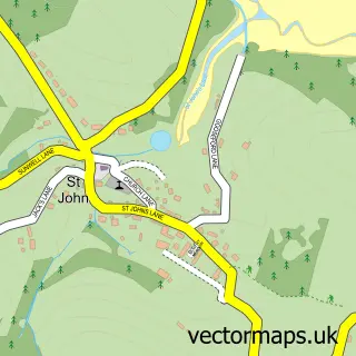
This Cawsand street map is a detailed vector street map covering a 750m x 750m area. Select a larger area to create and download your own vector street map of Cawsand.
The 750-metre map sample for Cawsand covers 118 mapped buildings and approximately 8.8 km of road detail, of which 21 named roads are named. The immediate area includes 4 pubs and 1 MOT station within 2 miles. The wider area around Cawsand features 2 tourism points of interest, 7 food and drink venues and 7 hotels. To create a larger or custom map of Cawsand, the map builder lets you define your own coverage area and download editable SVG, PDF and PNG files.
Create a larger editable map of Cawsand
Choose any area you need and generate a high-quality vector map instantly. Perfect for print, planning, design, business and personal use.

This Cawsand street map in Cornwall is available as downloadable SVG, PDF and PNG map files, or as a printed map for planning, business, display, education, local information and design work. You can also create a larger custom map area using the map selector.
What this Cawsand map sample shows
Cawsand is a village in Cornwall, recorded in the UK street map gallery with associated local administrative and mapping data.
Local features near Cawsand
Within 2 milesAmenities and services in and around Cawsand.
Administrative and postcode information for Cawsand
Cawsand is a village in Cornwall, recorded in the UK street map gallery with associated local administrative and mapping data.
Nearby street map samples around Cawsand
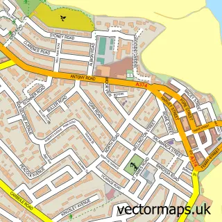

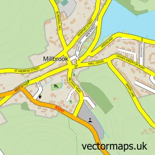
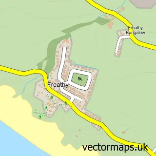
More street maps in Cornwall
750 metre map area coverage
Boundary, postcode and point of interest information for the 750m x 750m rectangle centred on this sample map.
Boundaries containing map centre
Constituency: South East Cornwall Co Const
District: Cornwall
Icb: NHS Cornwall and the Isles of Scilly ICB
Parish: Maker-with-Rame CP
Police Force: devon and cornwall
Postcode District: PL10
Postcode Sector: PL10 1
Nearby boundaries intersecting sample
No additional intersecting boundaries found.
Postcode coverage
POI category counts
Holiday Rental Home: 8
Hotel: 7
Pub: 4
Beach: 3
Art Gallery: 2
Building Contractor: 2
Community Services Non Profits: 2
Convenience Store: 2
Cottage: 2
Landmark And Historical Building: 2
Sample points of interest
- Beach Way Holiday Rental
- M G Associates
- Cawsand BAY Watersports Paddleboard & Kayak Hire
- Cawsand: St Andrew's Mission Church
- Panache Gallery & Gifts
- Westcroft Gallery
- The Old Bakery
- Cawsand Beach
- Girt Beach
- Kingsand Beach
- Hair by Ellie
- Westcroft Guesthouse
Create a larger editable map of Cawsand
This sample shows only a 750 metre area. To create a larger map of Cawsand, use our map builder to choose your own coverage area, add titles and download editable SVG, PDF and PNG files.
Create a custom map of Cawsand