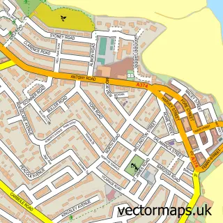
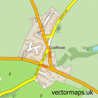
This Antony street map is a detailed vector street map covering a 750m x 750m area. Select a larger area to create and download your own vector street map of Antony.
The 750-metre map sample for Antony covers 71 mapped buildings and approximately 13.4 km of road detail, of which 4 named roads are named. The immediate area includes 1 school, 1 GP surgery within 2 miles, 1 pub and 2 MOT stations within 2 miles. The wider area around Antony features 1 tourism point of interest and 3 food and drink venues. To create a larger or custom map of Antony, the map builder lets you define your own coverage area and download editable SVG, PDF and PNG files.
Create a larger editable map of Antony
Choose any area you need and generate a high-quality vector map instantly. Perfect for print, planning, design, business and personal use.

This Antony street map in Cornwall is available as downloadable SVG, PDF and PNG map files, or as a printed map for planning, business, display, education, local information and design work. You can also create a larger custom map area using the map selector.
What this Antony map sample shows
Antony lies within Antony Cp parish, part of Rame Peninsular ward in the Cornwall local authority area. The postcode geography for this area includes the PL postcode area, the PL11 postcode district and the PL11 3 postcode sector. Residents fall under the Nhs Cornwall And The Isles Of Scilly Integrated Care Board for NHS services.
Local features near Antony
Within 2 milesAmenities and services in and around Antony.
Administrative and postcode information for Antony
Antony lies within Antony Cp parish, part of Rame Peninsular ward in the Cornwall local authority area. The postcode geography for this area includes the PL postcode area, the PL11 postcode district and the PL11 3 postcode sector. Residents fall under the Nhs Cornwall And The Isles Of Scilly Integrated Care Board for NHS services.
Nearby street map samples around Antony

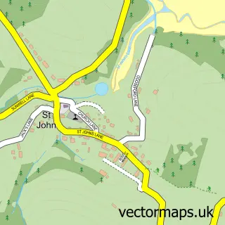
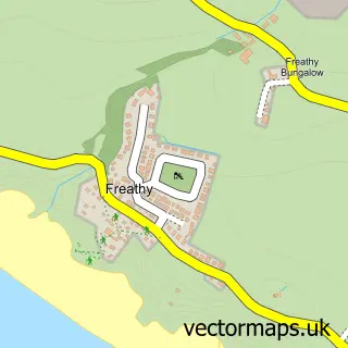
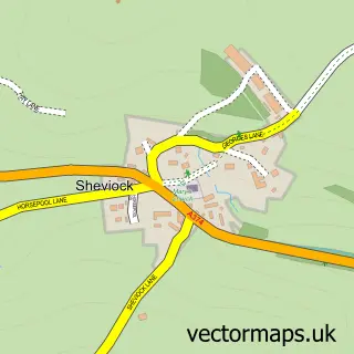
More street maps in Cornwall
750 metre map area coverage
Boundary, postcode and point of interest information for the 750m x 750m rectangle centred on this sample map.
Boundaries containing map centre
Constituency: South East Cornwall Co Const
District: Cornwall
Icb: NHS Cornwall and the Isles of Scilly ICB
Parish: Antony CP
Police Force: devon and cornwall
Postcode District: PL11
Postcode Sector: PL11 3
Nearby boundaries intersecting sample
No additional intersecting boundaries found.
Postcode coverage
POI category counts
Agricultural Service: 1
Anglican Church: 1
Arts And Crafts: 1
Assisted Living Facility: 1
Auto Body Shop: 1
Automotive Repair: 1
Cafe: 1
Caterer: 1
Church Cathedral: 1
Elementary School: 1
Sample points of interest
- Agricola Growers Ltd
- Antony: St James the Great
- Rame Framing
- The Old Vicarage Care Home
- Dart Car Body Repairs
- East Cornwall Repair Garage
- TJ’s Kerbside Kitchen
- Hightide Catering
- Church of St James, Antony
- Antony School
- Rame Innovation Hub
- Panache Gallery & Gifts
Create a larger editable map of Antony
This sample shows only a 750 metre area. To create a larger map of Antony, use our map builder to choose your own coverage area, add titles and download editable SVG, PDF and PNG files.
Create a custom map of Antony