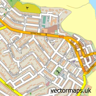
This Millbrook street map is a detailed vector street map covering a 750m x 750m area. Select a larger area to create and download your own vector street map of Millbrook.
The 750-metre map sample for Millbrook covers 215 mapped buildings and approximately 14.6 km of road detail, of which 20 named roads are named. The immediate area includes 1 school, 4 pubs and 1 MOT station, with 2 within 2 miles. The wider area around Millbrook features 1 tourism point of interest, 6 food and drink venues and 1 campsite within 2 miles. To create a larger or custom map of Millbrook, the map builder lets you define your own coverage area and download editable SVG, PDF and PNG files.
Create a larger editable map of Millbrook
Choose any area you need and generate a high-quality vector map instantly. Perfect for print, planning, design, business and personal use.

This Millbrook street map in Cornwall is available as downloadable SVG, PDF and PNG map files, or as a printed map for planning, business, display, education, local information and design work. You can also create a larger custom map area using the map selector.
What this Millbrook map sample shows
Millbrook lies within Millbrook Cp parish, part of Rame Peninsular ward in the Cornwall local authority area. The postcode geography for this area includes the PL postcode area, the PL10 postcode district and the PL10 1 postcode sector. Residents fall under the Nhs Cornwall And The Isles Of Scilly Integrated Care Board for NHS services.
Local features near Millbrook
Within 2 milesAmenities and services in and around Millbrook.
Administrative and postcode information for Millbrook
The local authority covering Millbrook is Cornwall, within the county of Cornwall. The settlement lies within Rame Peninsular ward and Millbrook Cp civil parish. The PL10 postcode district and PL10 1 postcode sector serve the immediate area. NHS provision in the area is delivered through University Hospitals Plymouth Nhs Trust.
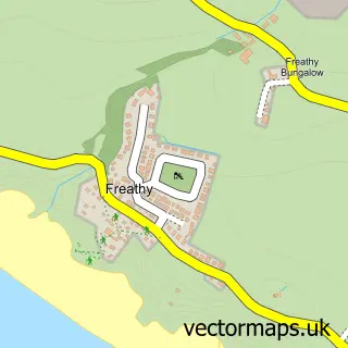
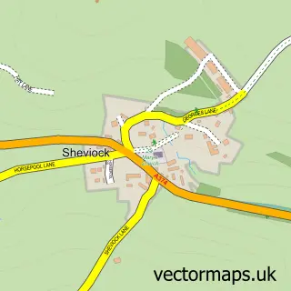
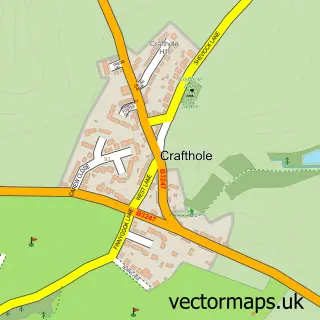
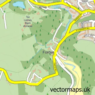
Nearby street map samples around Millbrook


More street maps in Cornwall
750 metre map area coverage
Boundary, postcode and point of interest information for the 750m x 750m rectangle centred on this sample map.
Boundaries containing map centre
Constituency: South East Cornwall Co Const
District: Cornwall
Icb: NHS Cornwall and the Isles of Scilly ICB
Parish: Millbrook CP
Police Force: devon and cornwall
Postcode District: PL10
Postcode Sector: PL10 1
Nearby boundaries intersecting sample
Parish: Maker-with-Rame CP
Postcode coverage
POI category counts
Pub: 4
Bed And Breakfast: 3
Community Services Non Profits: 3
Convenience Store: 3
Fish And Chips Restaurant: 3
Charity Organization: 2
Counseling And Mental Health: 2
Korean Grocery Store: 2
Real Estate Agent: 2
Retail: 2
Sample points of interest
- Millbrook Craft Club
- The Cooperative Food (BF) Millbrook - West Street, Millbrook
- Evely Electrical Ltd.
- Quay Garage millbrook
- NatWest Mobile Branch
- Bar Tusker
- Hywel Moss Hair Salon | Millbrook, Cornwall
- Manor Lodge Guest House
- Manor Lodge Guest House
- Millpool House Bed & Breakfast
- 1st Glass Windows
- WeFix Homes
Create a larger editable map of Millbrook
This sample shows only a 750 metre area. To create a larger map of Millbrook, use our map builder to choose your own coverage area, add titles and download editable SVG, PDF and PNG files.
Create a custom map of Millbrook