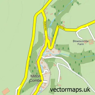
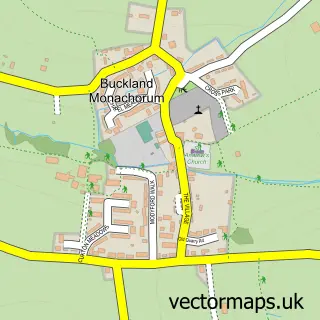
This Bere Ferrers street map is a detailed vector street map covering a 750m x 750m area. Select a larger area to create and download your own vector street map of Bere Ferrers.
The 750-metre map sample for Bere Ferrers covers 116 mapped buildings and approximately 6.9 km of road detail, of which 5 named roads are named. The immediate area includes 2 pubs and 2 MOT stations within 2 miles. The wider area around Bere Ferrers features 2 food and drink venues. To create a larger or custom map of Bere Ferrers, the map builder lets you define your own coverage area and download editable SVG, PDF and PNG files.
Create a larger editable map of Bere Ferrers
Choose any area you need and generate a high-quality vector map instantly. Perfect for print, planning, design, business and personal use.

This Bere Ferrers street map in Devon is available as downloadable SVG, PDF and PNG map files, or as a printed map for planning, business, display, education, local information and design work. You can also create a larger custom map area using the map selector.
What this Bere Ferrers map sample shows
Bere Ferrers lies within Bere Ferrers Cp parish, part of Bere Ferrers ward in the West Devon District (B) local authority area. The postcode geography for this area includes the PL postcode area, the PL20 postcode district and the PL20 7 postcode sector. Residents fall under the Nhs Devon Integrated Care Board for NHS services.
Local features near Bere Ferrers
Within 2 milesAmenities and services in and around Bere Ferrers.
Administrative and postcode information for Bere Ferrers
The local authority covering Bere Ferrers is West Devon District (B), within the county of Devon. The settlement lies within Bere Ferrers ward and Bere Ferrers Cp civil parish. The PL20 postcode district and PL20 7 postcode sector serve the immediate area. NHS provision in the area is delivered through University Hospitals Plymouth Nhs Trust.
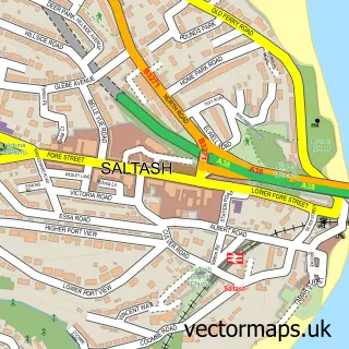
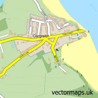
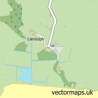
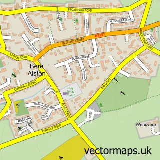
Nearby street map samples around Bere Ferrers

More street maps in Devon
750 metre map area coverage
Boundary, postcode and point of interest information for the 750m x 750m rectangle centred on this sample map.
Boundaries containing map centre
Constituency: Torridge and Tavistock Co Const
County: Devon County
District: West Devon District (B)
Icb: NHS Devon ICB
Parish: Bere Ferrers CP
Police Force: devon and cornwall
Postcode District: PL20
Postcode Sector: PL20 7
Ward: Bere Ferrers Ward
Nearby boundaries intersecting sample
No additional intersecting boundaries found.
Postcode coverage
POI category counts
Church Cathedral: 2
Pub: 2
Bar: 1
Forestry Service: 1
Home Decor: 1
Post Office: 1
Poultry Farm: 1
Printing Services: 1
Social Service Organizations: 1
Sample points of interest
- Bere Ferrers Social Club
- Bere Anglicans
- St Andrew's Church
- Dawe Coaching
- Orchard Pottery
- Bere Ferrers Post Office
- The Hen House Farm
- Royal British Legion Bere Alston
- The Olde Plough Inn
- The Olde Plough Inn
- The BFS Club
Create a larger editable map of Bere Ferrers
This sample shows only a 750 metre area. To create a larger map of Bere Ferrers, use our map builder to choose your own coverage area, add titles and download editable SVG, PDF and PNG files.
Create a custom map of Bere Ferrers