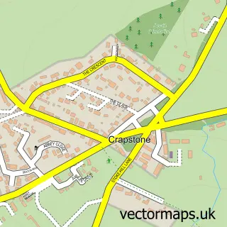
This Buckland Monachorum street map is a detailed vector street map covering a 750m x 750m area. Select a larger area to create and download your own vector street map of Buckland Monachorum.
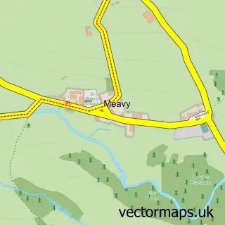
The 750-metre map sample for Buckland Monachorum covers 156 mapped buildings and approximately 13.1 km of road detail, of which 7 named roads are named. The immediate area includes 1 school, 1 pub and 3 MOT stations within 2 miles. The wider area around Buckland Monachorum features 1 tourism point of interest and 1 food and drink venue. To create a larger or custom map of Buckland Monachorum, the map builder lets you define your own coverage area and download editable SVG, PDF and PNG files.
Create a larger editable map of Buckland Monachorum
Choose any area you need and generate a high-quality vector map instantly. Perfect for print, planning, design, business and personal use.

This Buckland Monachorum street map in Devon is available as downloadable SVG, PDF and PNG map files, or as a printed map for planning, business, display, education, local information and design work. You can also create a larger custom map area using the map selector.
What this Buckland Monachorum map sample shows
Buckland Monachorum lies within Buckland Monachorum Cp parish, part of Buckland Monachorum ward in the West Devon District (B) local authority area. The postcode geography for this area includes the PL postcode area, the PL20 postcode district and the PL20 7 postcode sector. Residents fall under the Nhs Devon Integrated Care Board for NHS services.
Local features near Buckland Monachorum
Within 2 milesAmenities and services in and around Buckland Monachorum.
Administrative and postcode information for Buckland Monachorum
The local authority covering Buckland Monachorum is West Devon District (B), within the county of Devon. The settlement lies within Buckland Monachorum ward and Buckland Monachorum Cp civil parish. The PL20 postcode district and PL20 7 postcode sector serve the immediate area. NHS provision in the area is delivered through University Hospitals Plymouth Nhs Trust.
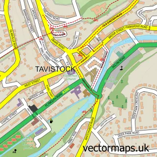
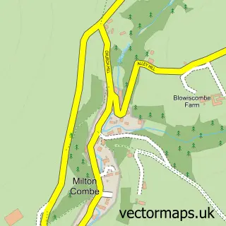
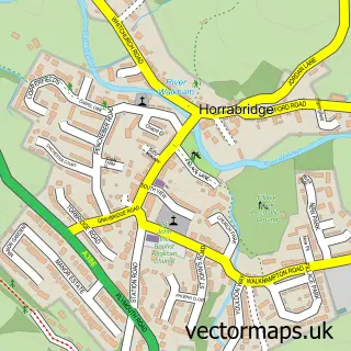
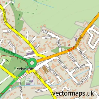
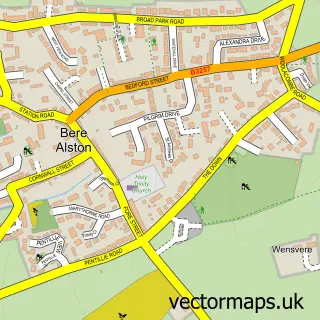
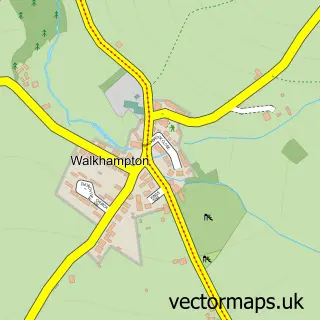
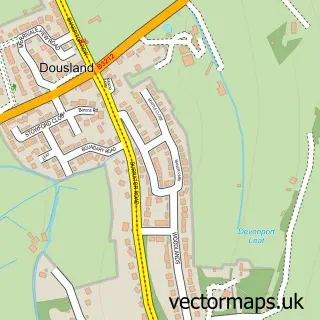
Nearby street map samples around Buckland Monachorum

More street maps in Devon
750 metre map area coverage
Boundary, postcode and point of interest information for the 750m x 750m rectangle centred on this sample map.
Boundaries containing map centre
Constituency: South West Devon Co Const
County: Devon County
District: West Devon District (B)
Icb: NHS Devon ICB
Parish: Buckland Monachorum CP
Police Force: devon and cornwall
Postcode District: PL20
Postcode Sector: PL20 7
Ward: Buckland Monachorum Ward
Nearby boundaries intersecting sample
Postcode Sector: PL20 6
Postcode coverage
POI category counts
Elementary School: 3
Anglican Church: 1
Beauty Product Supplier: 1
Church Cathedral: 1
Dance School: 1
Flowers And Gifts Shop: 1
Hair Salon: 1
Industrial Equipment: 1
Park: 1
Pub: 1
Sample points of interest
- St Andrew's Buckland Monachorum
- Buckland Beauty
- St Andrew's Church
- Miss Trudi's School of Dance
- St Andrew's Church of England Primary School
- St Andrew's Church of England School
- St. Andrew's C Of E School
- By Shelly Lee
- March Hair
- H 4 Marine Ltd.
- River Walkham Valley and Buckland Monachorum
- The Drake Manor Inn
Create a larger editable map of Buckland Monachorum
This sample shows only a 750 metre area. To create a larger map of Buckland Monachorum, use our map builder to choose your own coverage area, add titles and download editable SVG, PDF and PNG files.
Create a custom map of Buckland Monachorum