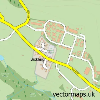
This Milton Combe street map is a detailed vector street map covering a 750m x 750m area. Select a larger area to create and download your own vector street map of Milton Combe.
The 750-metre map sample for Milton Combe covers 77 mapped buildings and approximately 8.3 km of road detail, of which 3 named roads are named. The immediate area includes 1 pub and 2 MOT stations within 2 miles. The wider area around Milton Combe features 1 food and drink venue. To create a larger or custom map of Milton Combe, the map builder lets you define your own coverage area and download editable SVG, PDF and PNG files.
Create a larger editable map of Milton Combe
Choose any area you need and generate a high-quality vector map instantly. Perfect for print, planning, design, business and personal use.

This Milton Combe street map in Devon is available as downloadable SVG, PDF and PNG map files, or as a printed map for planning, business, display, education, local information and design work. You can also create a larger custom map area using the map selector.
What this Milton Combe map sample shows
Milton Combe lies within Buckland Monachorum Cp parish, part of Buckland Monachorum ward in the West Devon District (B) local authority area. The postcode geography for this area includes the PL postcode area, the PL20 postcode district and the PL20 6 postcode sector. Residents fall under the Nhs Devon Integrated Care Board for NHS services.
Local features near Milton Combe
Within 2 milesAmenities and services in and around Milton Combe.
Administrative and postcode information for Milton Combe
Milton Combe lies within Buckland Monachorum Cp parish, part of Buckland Monachorum ward in the West Devon District (B) local authority area. The postcode geography for this area includes the PL postcode area, the PL20 postcode district and the PL20 6 postcode sector. Residents fall under the Nhs Devon Integrated Care Board for NHS services.
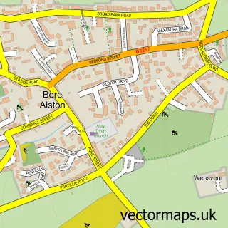
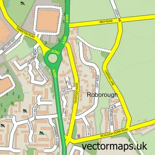
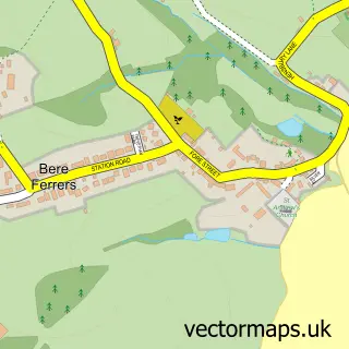
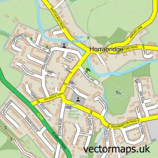
Nearby street map samples around Milton Combe

More street maps in Devon
750 metre map area coverage
Boundary, postcode and point of interest information for the 750m x 750m rectangle centred on this sample map.
Boundaries containing map centre
Constituency: South West Devon Co Const
County: Devon County
District: West Devon District (B)
Icb: NHS Devon ICB
Parish: Buckland Monachorum CP
Police Force: devon and cornwall
Postcode District: PL20
Postcode Sector: PL20 6
Ward: Buckland Monachorum Ward
Nearby boundaries intersecting sample
Postcode Sector: PL20 7
Postcode coverage
POI category counts
Active Life: 1
Anglican Church: 1
Church Cathedral: 1
Counseling And Mental Health: 1
Dog Trainer: 1
Financial Advising: 1
Inn: 1
Pub: 1
Public Health Clinic: 1
Sample points of interest
- Combe Fisheries
- Holy Spirit
- Church of the Holy Spirit
- Andrew Laidlaw Counselling
- Well Behaved Dogs
- Legal & Medical Investments
- The Who'd Have Thought It Inn
- Who'd Have Thought It
- Adderall generic 20Mg pills FedEx USA - Adderall Stores
Create a larger editable map of Milton Combe
This sample shows only a 750 metre area. To create a larger map of Milton Combe, use our map builder to choose your own coverage area, add titles and download editable SVG, PDF and PNG files.
Create a custom map of Milton Combe