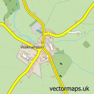
This Tavistock street map is a detailed vector street map covering a 750m x 750m area. Select a larger area to create and download your own vector street map of Tavistock.
The 750-metre map sample for Tavistock covers 353 mapped buildings and approximately 21.3 km of road detail, of which 49 named roads are named. The immediate area includes 1 school, 2 GP surgeries within 2 miles, 7 pubs and 7 MOT stations within 2 miles. The wider area around Tavistock features 3 tourism points of interest, 28 food and drink venues and 6 hotels. To create a larger or custom map of Tavistock, the map builder lets you define your own coverage area and download editable SVG, PDF and PNG files.
Create a larger editable map of Tavistock
Choose any area you need and generate a high-quality vector map instantly. Perfect for print, planning, design, business and personal use.

This Tavistock street map in Devon is available as downloadable SVG, PDF and PNG map files, or as a printed map for planning, business, display, education, local information and design work. You can also create a larger custom map area using the map selector.
What this Tavistock map sample shows
Tavistock lies within Tavistock Cp parish, part of Tavistock South East ward in the West Devon District (B) local authority area. The postcode geography for this area includes the PL postcode area, the PL19 postcode district and the PL19 9 postcode sector. Residents fall under the Nhs Devon Integrated Care Board for NHS services.
Local features near Tavistock
Within 2 milesAmenities and services in and around Tavistock.
Administrative and postcode information for Tavistock
The local authority covering Tavistock is West Devon District (B), within the county of Devon. The settlement lies within Tavistock South East ward and Tavistock Cp civil parish. The PL19 postcode district and PL19 9 postcode sector serve the immediate area. NHS provision in the area is delivered through University Hospitals Plymouth Nhs Trust.
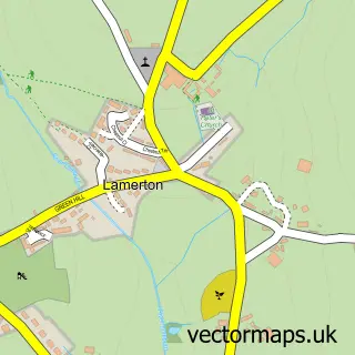
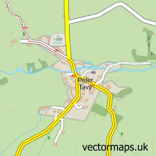
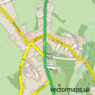
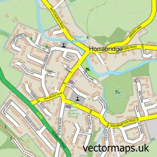
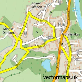
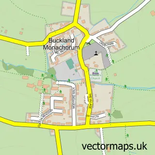
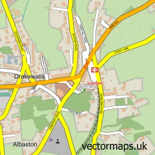
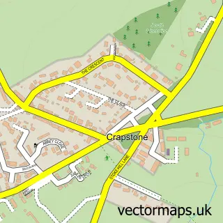
Nearby street map samples around Tavistock

More street maps in Devon
750 metre map area coverage
Boundary, postcode and point of interest information for the 750m x 750m rectangle centred on this sample map.
Boundaries containing map centre
Constituency: Torridge and Tavistock Co Const
County: Devon County
District: West Devon District (B)
Icb: NHS Devon ICB
Parish: Tavistock CP
Police Force: devon and cornwall
Postcode District: PL19
Postcode Sector: PL19 8
Ward: Tavistock North Ward
Nearby boundaries intersecting sample
Postcode Sector: PL19 0, PL19 9
Ward: Tavistock South East Ward, Tavistock South West Ward
Postcode coverage
POI category counts
Clothing Store: 20
Beauty Salon: 15
Cafe: 11
Hair Salon: 10
Professional Services: 10
Flowers And Gifts Shop: 9
Barber: 8
Charity Organization: 8
Jewelry Store: 8
Church Cathedral: 7
Sample points of interest
- Harry Walker Accountancy Ltd
- Harry Walker Accountancy Ltd.
- South West Kickboxing Academy
- Tavistock Ki Aikido
- Kimono Design
- Amanda Coleshill
- Tavistock Osteopaths
- Tavistock: St Eustachius
- Wingletang Boarding Kennels & Cattery
- Armoury Antiques and Militaria
- Devon Air Ambulance Shop
- Knights Emporium
Create a larger editable map of Tavistock
This sample shows only a 750 metre area. To create a larger map of Tavistock, use our map builder to choose your own coverage area, add titles and download editable SVG, PDF and PNG files.
Create a custom map of Tavistock