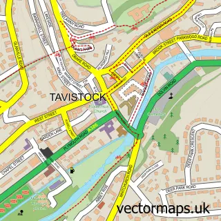
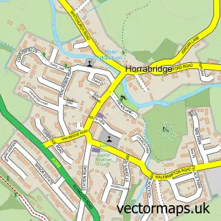
This Mary Tavy street map is a detailed vector street map covering a 750m x 750m area. Select a larger area to create and download your own vector street map of Mary Tavy.
The 750-metre map sample for Mary Tavy covers 241 mapped buildings and approximately 9.9 km of road detail, of which 13 named roads are named. The wider area around Mary Tavy features 1 tourism point of interest, 3 hotels and 1 campsite within 2 miles. To create a larger or custom map of Mary Tavy, the map builder lets you define your own coverage area and download editable SVG, PDF and PNG files.
Create a larger editable map of Mary Tavy
Choose any area you need and generate a high-quality vector map instantly. Perfect for print, planning, design, business and personal use.

This Mary Tavy street map in Devon is available as downloadable SVG, PDF and PNG map files, or as a printed map for planning, business, display, education, local information and design work. You can also create a larger custom map area using the map selector.
What this Mary Tavy map sample shows
Mary Tavy lies within Mary Tavy Cp parish, part of Mary Tavy ward in the West Devon District (B) local authority area. The postcode geography for this area includes the PL postcode area, the PL19 postcode district and the PL19 9 postcode sector. Residents fall under the Nhs Devon Integrated Care Board for NHS services.
Local features near Mary Tavy
Within 2 milesAmenities and services in and around Mary Tavy.
Administrative and postcode information for Mary Tavy
Mary Tavy lies within Mary Tavy Cp parish, part of Mary Tavy ward in the West Devon District (B) local authority area. The postcode geography for this area includes the PL postcode area, the PL19 postcode district and the PL19 9 postcode sector. Residents fall under the Nhs Devon Integrated Care Board for NHS services.
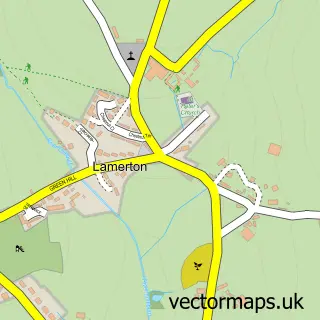
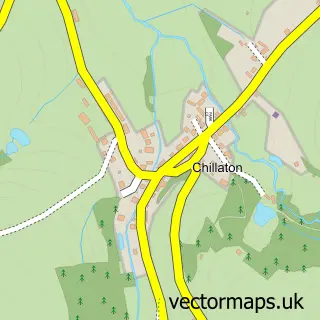
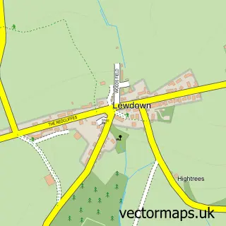
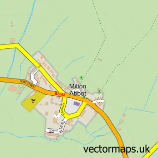
Nearby street map samples around Mary Tavy

More street maps in Devon
750 metre map area coverage
Boundary, postcode and point of interest information for the 750m x 750m rectangle centred on this sample map.
Boundaries containing map centre
Constituency: Torridge and Tavistock Co Const
County: Devon County
District: West Devon District (B)
Icb: NHS Devon ICB
Parish: Mary Tavy CP
Police Force: devon and cornwall
Postcode District: PL19
Postcode Sector: PL19 9
Ward: Mary Tavy Ward
Nearby boundaries intersecting sample
No additional intersecting boundaries found.
Postcode coverage
POI category counts
Hotel: 3
Shipping Center: 2
Attractions And Activities: 1
Building Supply Store: 1
Convenience Store: 1
Corporate Entertainment Services: 1
Equestrian Facility: 1
Fitness Trainer: 1
Grocery Store: 1
Home Improvement Store: 1
Sample points of interest
- Moorland Hall
- Days Electrical
- Londis LONDIS - MARY TAVY POST OFFICE
- Miss Ivy Events
- Devonshire Equestrian Livery and Rehabiliation
- Wellness with Wendy
- Old Page
- Refinyl
- Cunningham T D & A V L
- Homer Farm
- Two Bridges Hotel, Princetown, Devon
- Tavistock Caravans Ltd.
Create a larger editable map of Mary Tavy
This sample shows only a 750 metre area. To create a larger map of Mary Tavy, use our map builder to choose your own coverage area, add titles and download editable SVG, PDF and PNG files.
Create a custom map of Mary Tavy