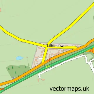
This Chillaton street map is a detailed vector street map covering a 750m x 750m area. Select a larger area to create and download your own vector street map of Chillaton.
The 750-metre map sample for Chillaton covers 90 mapped buildings and approximately 10.9 km of road detail, of which 1 named road are named. To create a larger or custom map of Chillaton, the map builder lets you define your own coverage area and download editable SVG, PDF and PNG files.
Create a larger editable map of Chillaton
Choose any area you need and generate a high-quality vector map instantly. Perfect for print, planning, design, business and personal use.

This Chillaton street map in Devon is available as downloadable SVG, PDF and PNG map files, or as a printed map for planning, business, display, education, local information and design work. You can also create a larger custom map area using the map selector.
What this Chillaton map sample shows
Chillaton lies within Milton Abbot Cp parish, part of Milton Ford ward in the West Devon District (B) local authority area. The postcode geography for this area includes the PL postcode area, the PL16 postcode district and the PL16 0 postcode sector. Residents fall under the Nhs Devon Integrated Care Board for NHS services.
Local features near Chillaton
Within 2 milesAmenities and services in and around Chillaton.
Administrative and postcode information for Chillaton
Chillaton lies within Milton Abbot Cp parish, part of Milton Ford ward in the West Devon District (B) local authority area. The postcode geography for this area includes the PL postcode area, the PL16 postcode district and the PL16 0 postcode sector. Residents fall under the Nhs Devon Integrated Care Board for NHS services.
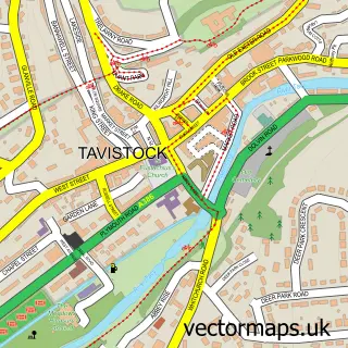
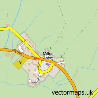
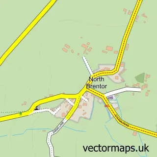
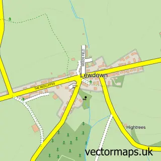
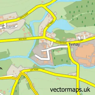
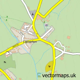
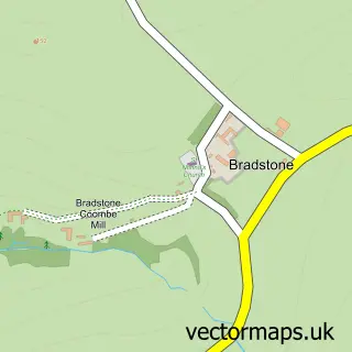
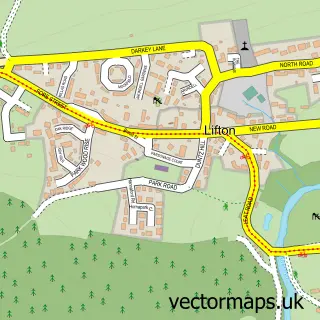
Nearby street map samples around Chillaton

More street maps in Devon
750 metre map area coverage
Boundary, postcode and point of interest information for the 750m x 750m rectangle centred on this sample map.
Boundaries containing map centre
Constituency: Torridge and Tavistock Co Const
County: Devon County
District: West Devon District (B)
Icb: NHS Devon ICB
Parish: Milton Abbot CP
Police Force: devon and cornwall
Postcode District: PL16
Postcode Sector: PL16 0
Ward: Milton Ford Ward
Nearby boundaries intersecting sample
No additional intersecting boundaries found.
Postcode coverage
POI category counts
Arts And Entertainment: 2
Automotive Repair: 2
Advertising Agency: 1
Car Dealer: 1
Cleaning Services: 1
Farmers Market: 1
Masonry Contractors: 1
Taxi Service: 1
Transportation: 1
Sample points of interest
- Farson Digital
- Avion Video LLP
- Claynglaze
- Chillaton Garage
- Vintage Connections
- R Mogg
- Breeze Carpet & Upholstery Care
- Lifton Strawberry Fields
- J S Murrain & Sons Building & Garden Services
- Tavistock Air and Cruise Transfers
- Destination UK Taxis
Create a larger editable map of Chillaton
This sample shows only a 750 metre area. To create a larger map of Chillaton, use our map builder to choose your own coverage area, add titles and download editable SVG, PDF and PNG files.
Create a custom map of Chillaton