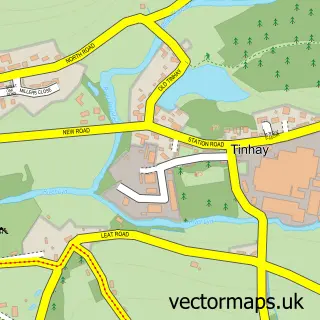
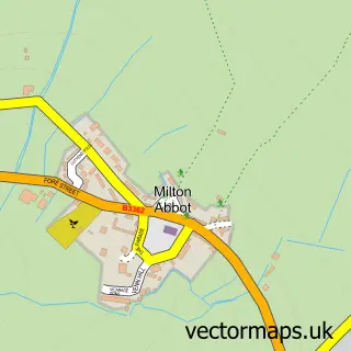
This Lifton street map is a detailed vector street map covering a 750m x 750m area. Select a larger area to create and download your own vector street map of Lifton.
The 750-metre map sample for Lifton covers 249 mapped buildings and approximately 12.7 km of road detail, of which 20 named roads are named. The immediate area includes 1 school and 2 MOT stations within 2 miles. The wider area around Lifton features 1 food and drink venue and 2 hotels. To create a larger or custom map of Lifton, the map builder lets you define your own coverage area and download editable SVG, PDF and PNG files.
Create a larger editable map of Lifton
Choose any area you need and generate a high-quality vector map instantly. Perfect for print, planning, design, business and personal use.

This Lifton street map in Devon is available as downloadable SVG, PDF and PNG map files, or as a printed map for planning, business, display, education, local information and design work. You can also create a larger custom map area using the map selector.
What this Lifton map sample shows
Lifton lies within Lifton Cp parish, part of Tamarside ward in the West Devon District (B) local authority area. The postcode geography for this area includes the PL postcode area, the PL16 postcode district and the PL16 0 postcode sector. Residents fall under the Nhs Devon Integrated Care Board for NHS services.
Local features near Lifton
Within 2 milesAmenities and services in and around Lifton.
Administrative and postcode information for Lifton
The local authority covering Lifton is West Devon District (B), within the county of Devon. The settlement lies within Tamarside ward and Lifton Cp civil parish. The PL16 postcode district and PL16 0 postcode sector serve the immediate area. NHS provision in the area is delivered through University Hospitals Plymouth Nhs Trust.
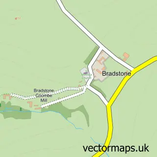
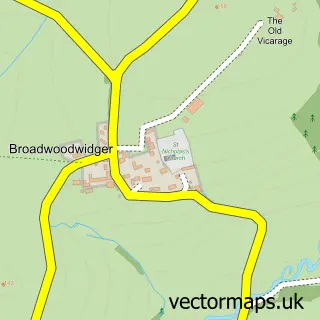
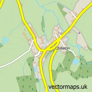
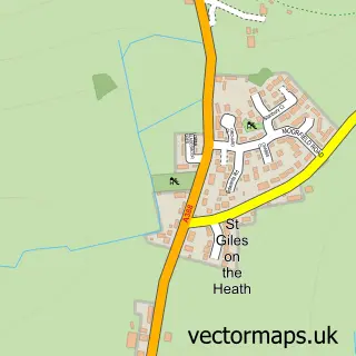
Nearby street map samples around Lifton

More street maps in Devon
750 metre map area coverage
Boundary, postcode and point of interest information for the 750m x 750m rectangle centred on this sample map.
Boundaries containing map centre
Constituency: Torridge and Tavistock Co Const
County: Devon County
District: West Devon District (B)
Icb: NHS Devon ICB
Parish: Lifton CP
Police Force: devon and cornwall
Postcode District: PL16
Postcode Sector: PL16 0
Ward: Tamarside Ward
Nearby boundaries intersecting sample
No additional intersecting boundaries found.
Postcode coverage
POI category counts
Doctor: 2
Elementary School: 2
Hotel: 2
Accommodation: 1
Automotive Services And Repair: 1
Bicycle Shop: 1
Business: 1
Business Manufacturing And Supply: 1
Church Cathedral: 1
Community Center: 1
Sample points of interest
- Lifton Hall
- Garage Door Repairman
- RSF MTB Suspension specialists
- Wolf Valley Enterprises
- garage door repairs
- Lifton Methodist Church
- Lifton Community Centre
- Gavin Freeman Property Services Restoration and Management
- Lifton Stores
- Lifton Surgery
- Lifton Surgery
- Home & Creature Comforts
Create a larger editable map of Lifton
This sample shows only a 750 metre area. To create a larger map of Lifton, use our map builder to choose your own coverage area, add titles and download editable SVG, PDF and PNG files.
Create a custom map of Lifton