This St Giles on the Heath street map is a detailed vector street map covering a 750m x 750m area. Select a larger area to create and download your own vector street map of St Giles on the Heath.
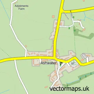
The 750-metre map sample for St Giles on the Heath covers 142 mapped buildings and approximately 6.0 km of road detail, of which 9 named roads are named. The immediate area includes 1 pub and 1 MOT station within 2 miles. The wider area around St Giles on the Heath features 1 tourism point of interest, 1 food and drink venue and 1 campsite within 2 miles. To create a larger or custom map of St Giles on the Heath, the map builder lets you define your own coverage area and download editable SVG, PDF and PNG files.
Create a larger editable map of St Giles on the Heath
Choose any area you need and generate a high-quality vector map instantly. Perfect for print, planning, design, business and personal use.

This St Giles on the Heath street map in Devon is available as downloadable SVG, PDF and PNG map files, or as a printed map for planning, business, display, education, local information and design work. You can also create a larger custom map area using the map selector.
What this St Giles on the Heath map sample shows
St Giles on the Heath lies within St. Giles On The Heath Cp parish, part of Broadheath ward in the Torridge District local authority area. The postcode geography for this area includes the PL postcode area, the PL15 postcode district and the PL15 9 postcode sector. Residents fall under the Nhs Devon Integrated Care Board for NHS services.
Local features near St Giles on the Heath
Within 2 milesAmenities and services in and around St Giles on the Heath.
Administrative and postcode information for St Giles on the Heath
St Giles on the Heath lies within St. Giles On The Heath Cp parish, part of Broadheath ward in the Torridge District local authority area. The postcode geography for this area includes the PL postcode area, the PL15 postcode district and the PL15 9 postcode sector. Residents fall under the Nhs Devon Integrated Care Board for NHS services.
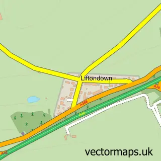
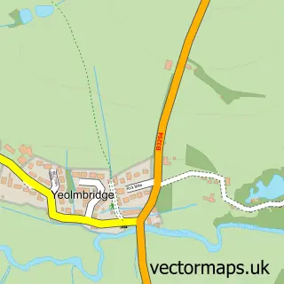
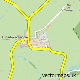
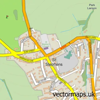
Nearby street map samples around St Giles on the Heath

More street maps in Devon
750 metre map area coverage
Boundary, postcode and point of interest information for the 750m x 750m rectangle centred on this sample map.
Boundaries containing map centre
Constituency: Torridge and Tavistock Co Const
County: Devon County
District: Torridge District
Icb: NHS Devon ICB
Parish: St. Giles on the Heath CP
Police Force: devon and cornwall
Postcode District: PL15
Postcode Sector: PL15 9
Ward: Broadheath Ward
Nearby boundaries intersecting sample
No additional intersecting boundaries found.
Postcode coverage
POI category counts
Driving School: 1
Education: 1
Landmark And Historical Building: 1
Martial Arts Club: 1
Post Office: 1
Pub: 1
Recycling Center: 1
Sample points of interest
- APW Driver Training
- St Giles on the Heath County Primary School
- St Giles on the Heath
- San Tsuru Academy
- St Giles on The Heath Post Office
- The Pint & Post
- British Heart Foundation
Create a larger editable map of St Giles on the Heath
This sample shows only a 750 metre area. To create a larger map of St Giles on the Heath, use our map builder to choose your own coverage area, add titles and download editable SVG, PDF and PNG files.
Create a custom map of St Giles on the Heath