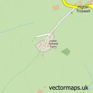
This Boyton street map is a detailed vector street map covering a 750m x 750m area. Select a larger area to create and download your own vector street map of Boyton.
The 750-metre map sample for Boyton covers 103 mapped buildings and approximately 8.0 km of road detail, of which 4 named roads are named. To create a larger or custom map of Boyton, the map builder lets you define your own coverage area and download editable SVG, PDF and PNG files.
Create a larger editable map of Boyton
Choose any area you need and generate a high-quality vector map instantly. Perfect for print, planning, design, business and personal use.

This Boyton street map in Cornwall is available as downloadable SVG, PDF and PNG map files, or as a printed map for planning, business, display, education, local information and design work. You can also create a larger custom map area using the map selector.
What this Boyton map sample shows
Boyton lies within Boyton Cp parish, part of Launceston North And North Petherwin ward in the Cornwall local authority area. The postcode geography for this area includes the PL postcode area, the PL15 postcode district and the PL15 9 postcode sector. Residents fall under the Nhs Cornwall And The Isles Of Scilly Integrated Care Board for NHS services.
Local features near Boyton
Within 2 milesAmenities and services in and around Boyton.
Administrative and postcode information for Boyton
The local authority covering Boyton is Cornwall, within the county of Cornwall. The settlement lies within Launceston North And North Petherwin ward and Boyton Cp civil parish. The PL15 postcode district and PL15 9 postcode sector serve the immediate area. NHS provision in the area is delivered through Northern Devon Nhs Trust.
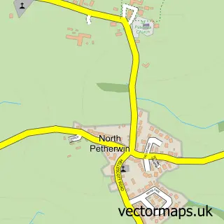
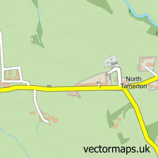
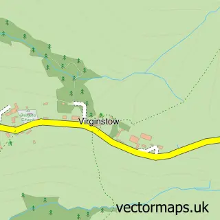
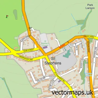
Nearby street map samples around Boyton

More street maps in Cornwall
750 metre map area coverage
Boundary, postcode and point of interest information for the 750m x 750m rectangle centred on this sample map.
Boundaries containing map centre
Constituency: North Cornwall Co Const
District: Cornwall
Icb: NHS Cornwall and the Isles of Scilly ICB
Parish: Boyton CP
Police Force: devon and cornwall
Postcode District: PL15
Postcode Sector: PL15 9
Nearby boundaries intersecting sample
No additional intersecting boundaries found.
Postcode coverage
POI category counts
Anglican Church: 1
Automotive Repair: 1
Bed And Breakfast: 1
Church Cathedral: 1
Contractor: 1
Event Planning: 1
Farm: 1
Flowers And Gifts Shop: 1
Holiday Rental Home: 1
School: 1
Sample points of interest
- Boyton: Holy Name
- K c Autobarn
- Dorset Farm
- Boyton Methodist Church
- BJR building services
- Kidz Bouncy Castle & Soft Play Hire
- Tamar Valley Dutch Spotties
- Fleurs de l'amour
- North Beer Farm
- Boyton Community Primary School
Create a larger editable map of Boyton
This sample shows only a 750 metre area. To create a larger map of Boyton, use our map builder to choose your own coverage area, add titles and download editable SVG, PDF and PNG files.
Create a custom map of Boyton