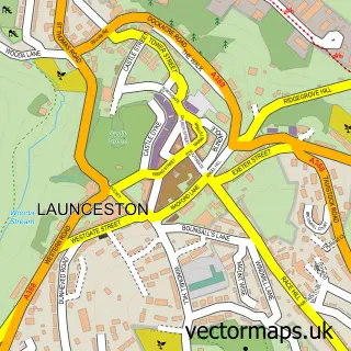
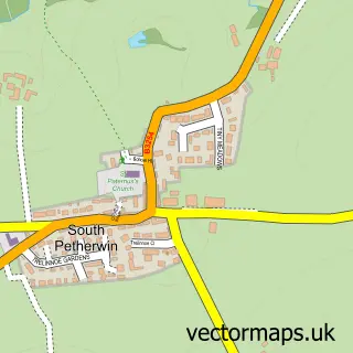
This St Stephens street map is a detailed vector street map covering a 750m x 750m area. Select a larger area to create and download your own vector street map of St Stephens.
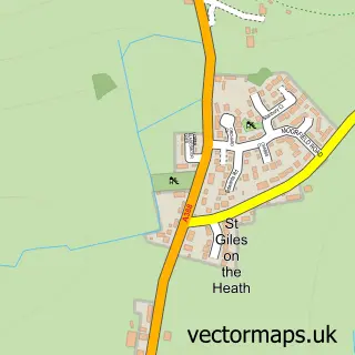
The 750-metre map sample for St Stephens covers 250 mapped buildings and approximately 14.8 km of road detail, of which 19 named roads are named. The immediate area includes 1 school, 1 GP surgery within 2 miles and 7 MOT stations within 2 miles. The wider area around St Stephens features 1 tourism point of interest. To create a larger or custom map of St Stephens, the map builder lets you define your own coverage area and download editable SVG, PDF and PNG files.
Create a larger editable map of St Stephens
Choose any area you need and generate a high-quality vector map instantly. Perfect for print, planning, design, business and personal use.

This St Stephens street map in Cornwall is available as downloadable SVG, PDF and PNG map files, or as a printed map for planning, business, display, education, local information and design work. You can also create a larger custom map area using the map selector.
What this St Stephens map sample shows
St Stephens lies within Launceston Cp parish, part of Launceston North And North Petherwin ward in the Cornwall local authority area. The postcode geography for this area includes the PL postcode area, the PL15 postcode district and the PL15 8 postcode sector. Residents fall under the Nhs Cornwall And The Isles Of Scilly Integrated Care Board for NHS services.
Local features near St Stephens
Within 2 milesAmenities and services in and around St Stephens.
Administrative and postcode information for St Stephens
The local authority covering St Stephens is Cornwall, within the county of Cornwall. The settlement lies within Launceston North And North Petherwin ward and Launceston Cp civil parish. The PL15 postcode district and PL15 8 postcode sector serve the immediate area. NHS provision in the area is delivered through University Hospitals Plymouth Nhs Trust.
Nearby street map samples around St Stephens

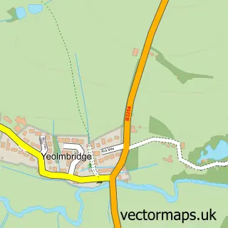
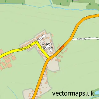
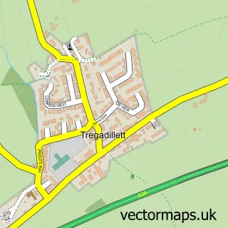
More street maps in Cornwall
750 metre map area coverage
Boundary, postcode and point of interest information for the 750m x 750m rectangle centred on this sample map.
Boundaries containing map centre
Constituency: North Cornwall Co Const
District: Cornwall
Icb: NHS Cornwall and the Isles of Scilly ICB
Parish: Launceston CP
Police Force: devon and cornwall
Postcode District: PL15
Postcode Sector: PL15 8
Nearby boundaries intersecting sample
Parish: St. Stephens By Launceston Rural CP
Postcode coverage
POI category counts
Business Management Services: 2
Elementary School: 2
Accountant: 1
Anglican Church: 1
Arts And Crafts: 1
Catholic Church: 1
Church Cathedral: 1
Contractor: 1
Engineering Services: 1
Furniture Store: 1
Sample points of interest
- Richard Hopper, Chartered Accountant
- Launceston: St Stephen
- Makings Handicrafts
- West Country Quality Systems Ltd.
- Westcountry Quality Systems Ltd.
- Church of St Cuthbert Mayne
- St Cuthbert Mayne R C Church
- Jamie Harris General Builders
- St Stephen's C.E Junior School
- St. Josephs School Cornwall
- Hatch Consultancy
- Granny On A Camel
Create a larger editable map of St Stephens
This sample shows only a 750 metre area. To create a larger map of St Stephens, use our map builder to choose your own coverage area, add titles and download editable SVG, PDF and PNG files.
Create a custom map of St Stephens