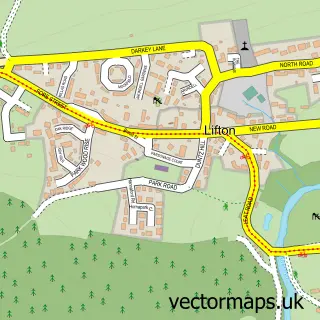
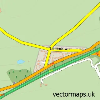
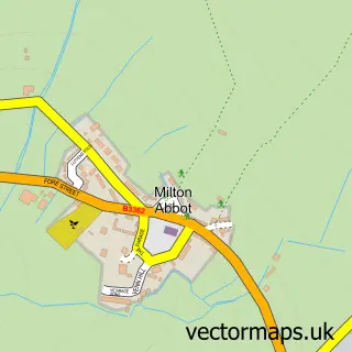
This Tinhay street map is a detailed vector street map covering a 750m x 750m area. Select a larger area to create and download your own vector street map of Tinhay.
The 750-metre map sample for Tinhay covers 142 mapped buildings and approximately 11.2 km of road detail, of which 6 named roads are named. The immediate area includes 1 pub and 1 MOT station, with 2 within 2 miles. The wider area around Tinhay features 1 tourism point of interest and 3 food and drink venues. To create a larger or custom map of Tinhay, the map builder lets you define your own coverage area and download editable SVG, PDF and PNG files.
Create a larger editable map of Tinhay
Choose any area you need and generate a high-quality vector map instantly. Perfect for print, planning, design, business and personal use.

This Tinhay street map in Devon is available as downloadable SVG, PDF and PNG map files, or as a printed map for planning, business, display, education, local information and design work. You can also create a larger custom map area using the map selector.
What this Tinhay map sample shows
Tinhay lies within Lifton Cp parish, part of Tamarside ward in the West Devon District (B) local authority area. The postcode geography for this area includes the PL postcode area, the PL16 postcode district and the PL16 0 postcode sector. Residents fall under the Nhs Devon Integrated Care Board for NHS services.
Local features near Tinhay
Within 2 milesAmenities and services in and around Tinhay.
Administrative and postcode information for Tinhay
The local authority covering Tinhay is West Devon District (B), within the county of Devon. The settlement lies within Tamarside ward and Lifton Cp civil parish. The PL16 postcode district and PL16 0 postcode sector serve the immediate area. NHS provision in the area is delivered through University Hospitals Plymouth Nhs Trust.
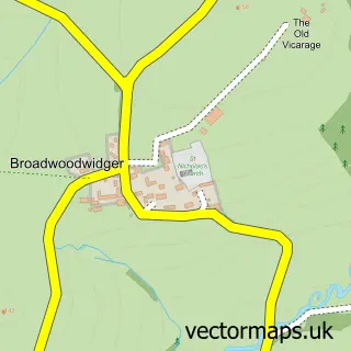
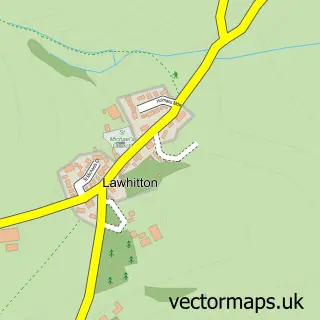
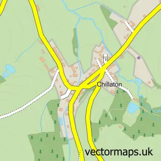
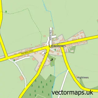
Nearby street map samples around Tinhay
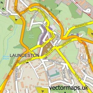

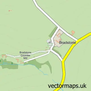
More street maps in Devon
750 metre map area coverage
Boundary, postcode and point of interest information for the 750m x 750m rectangle centred on this sample map.
Boundaries containing map centre
Constituency: Torridge and Tavistock Co Const
County: Devon County
District: West Devon District (B)
Icb: NHS Devon ICB
Parish: Lifton CP
Police Force: devon and cornwall
Postcode District: PL16
Postcode Sector: PL16 0
Ward: Tamarside Ward
Nearby boundaries intersecting sample
No additional intersecting boundaries found.
Postcode coverage
POI category counts
Automotive Repair: 4
Food Beverage Service Distribution: 3
Business Manufacturing And Supply: 2
Car Dealer: 2
Restaurant: 2
Retail: 2
Auto Body Shop: 1
Baby Gear And Furniture: 1
Beauty Salon: 1
Bed And Breakfast: 1
Sample points of interest
- Autospray Lifton Limited
- Lifton Automotive Services
- SWLC Performance Ltd
- South West Lotus Centre
- Tinhay Garage
- Nat's Nappy Cakes
- Micha B Beauty
- Tinhay Mill Guest House
- Hogs Bottom Preserves
- Magical Mud Kitchens
- Lifton Bridge Car Sales
- Sky Automotive
Create a larger editable map of Tinhay
This sample shows only a 750 metre area. To create a larger map of Tinhay, use our map builder to choose your own coverage area, add titles and download editable SVG, PDF and PNG files.
Create a custom map of Tinhay