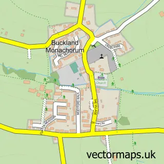
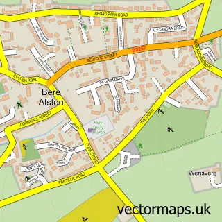
This Horrabridge street map is a detailed vector street map covering a 750m x 750m area. Select a larger area to create and download your own vector street map of Horrabridge.
The 750-metre map sample for Horrabridge covers 363 mapped buildings and approximately 16.7 km of road detail, of which 31 named roads are named. The immediate area includes 1 GP surgery within 2 miles, 3 pubs and 1 MOT station, with 4 within 2 miles. The wider area around Horrabridge features 1 tourism point of interest and 4 food and drink venues. To create a larger or custom map of Horrabridge, the map builder lets you define your own coverage area and download editable SVG, PDF and PNG files.
Create a larger editable map of Horrabridge
Choose any area you need and generate a high-quality vector map instantly. Perfect for print, planning, design, business and personal use.

This Horrabridge street map in Devon is available as downloadable SVG, PDF and PNG map files, or as a printed map for planning, business, display, education, local information and design work. You can also create a larger custom map area using the map selector.
What this Horrabridge map sample shows
Horrabridge lies within Horrabridge Cp parish, part of Burrator ward in the West Devon District (B) local authority area. The postcode geography for this area includes the PL postcode area, the PL20 postcode district and the PL20 7 postcode sector. Residents fall under the Nhs Devon Integrated Care Board for NHS services.
Local features near Horrabridge
Within 2 milesAmenities and services in and around Horrabridge.
Administrative and postcode information for Horrabridge
The local authority covering Horrabridge is West Devon District (B), within the county of Devon. The settlement lies within Burrator ward and Horrabridge Cp civil parish. The PL20 postcode district and PL20 7 postcode sector serve the immediate area. NHS provision in the area is delivered through University Hospitals Plymouth Nhs Trust.
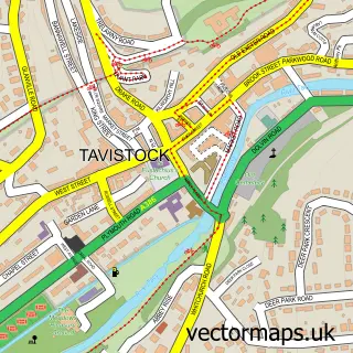
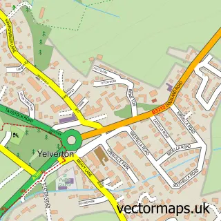
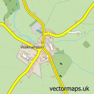
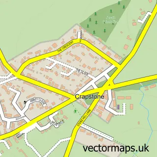
Nearby street map samples around Horrabridge

More street maps in Devon
750 metre map area coverage
Boundary, postcode and point of interest information for the 750m x 750m rectangle centred on this sample map.
Boundaries containing map centre
Constituency: South West Devon Co Const
County: Devon County
District: West Devon District (B)
Icb: NHS Devon ICB
Parish: Horrabridge CP
Police Force: devon and cornwall
Postcode District: PL20
Postcode Sector: PL20 7
Ward: Burrator Ward
Nearby boundaries intersecting sample
No additional intersecting boundaries found.
Postcode coverage
POI category counts
Convenience Store: 3
Pub: 3
Automotive Repair: 2
Bakery: 2
Bed And Breakfast: 2
Contractor: 2
Driving School: 2
Elementary School: 2
International Business And Trade Services: 2
It Service And Computer Repair: 2
Sample points of interest
- St John the Baptist, Horrabridge
- Wildwood Arts Dartmoor
- Ermington Mot Centre
- Manor Garage
- Honey's Bakery
- Quernstone Bakery
- Reflections Hair Nails & Tanning Salon
- Overcombe House
- The Old School Guest House
- The Chippie at Horrabridge
- Eddies Carpet Cleanz
- St Johns Church Horrabridge
Create a larger editable map of Horrabridge
This sample shows only a 750 metre area. To create a larger map of Horrabridge, use our map builder to choose your own coverage area, add titles and download editable SVG, PDF and PNG files.
Create a custom map of Horrabridge