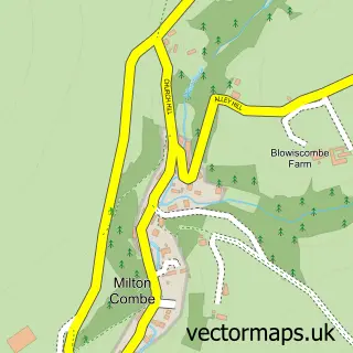
This Dousland street map is a detailed vector street map covering a 750m x 750m area. Select a larger area to create and download your own vector street map of Dousland.
The 750-metre map sample for Dousland covers 263 mapped buildings and approximately 11.3 km of road detail, of which 14 named roads are named. The immediate area includes 1 school, 1 GP surgery within 2 miles, 2 pubs and 2 MOT stations within 2 miles. The wider area around Dousland features 2 food and drink venues. To create a larger or custom map of Dousland, the map builder lets you define your own coverage area and download editable SVG, PDF and PNG files.
Create a larger editable map of Dousland
Choose any area you need and generate a high-quality vector map instantly. Perfect for print, planning, design, business and personal use.

This Dousland street map in Devon is available as downloadable SVG, PDF and PNG map files, or as a printed map for planning, business, display, education, local information and design work. You can also create a larger custom map area using the map selector.
What this Dousland map sample shows
Dousland lies within Meavy Cp parish, part of Burrator ward in the West Devon District (B) local authority area. The postcode geography for this area includes the PL postcode area, the PL20 postcode district and the PL20 6 postcode sector. Residents fall under the Nhs Devon Integrated Care Board for NHS services.
Local features near Dousland
Within 2 milesAmenities and services in and around Dousland.
Administrative and postcode information for Dousland
Dousland lies within Meavy Cp parish, part of Burrator ward in the West Devon District (B) local authority area. The postcode geography for this area includes the PL postcode area, the PL20 postcode district and the PL20 6 postcode sector. Residents fall under the Nhs Devon Integrated Care Board for NHS services.
Nearby street map samples around Dousland
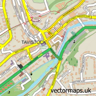

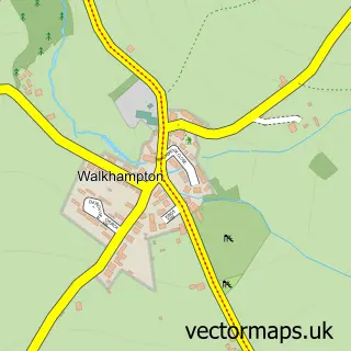
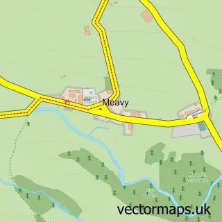
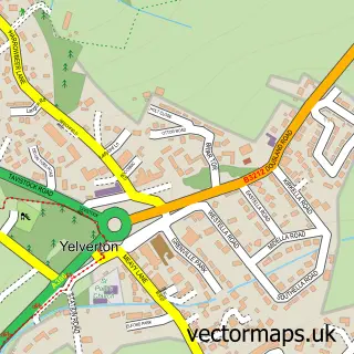
More street maps in Devon
750 metre map area coverage
Boundary, postcode and point of interest information for the 750m x 750m rectangle centred on this sample map.
Boundaries containing map centre
Constituency: South West Devon Co Const
County: Devon County
District: West Devon District (B)
Icb: NHS Devon ICB
Parish: Meavy CP
Police Force: devon and cornwall
Postcode District: PL20
Postcode Sector: PL20 6
Ward: Burrator Ward
Nearby boundaries intersecting sample
Parish: Walkhampton CP
Postcode coverage
POI category counts
Post Office: 2
Pub: 2
Automotive: 1
Business Manufacturing And Supply: 1
Driving School: 1
Educational Services: 1
Gastropub: 1
Hair Salon: 1
Hvac Services: 1
Retail: 1
Sample points of interest
- Car Wash Service Dousland
- Dartmoor Garage Door Repairs
- Andy Easton School Of Motoring
- Yelverton Driving School
- Burrator Inn
- Fresh Hair
- J B W
- Dousland Post Office
- Post Office-Dousland
- The Burrator Inn
- The Burrator Inn
- JTP Associates
Create a larger editable map of Dousland
This sample shows only a 750 metre area. To create a larger map of Dousland, use our map builder to choose your own coverage area, add titles and download editable SVG, PDF and PNG files.
Create a custom map of Dousland