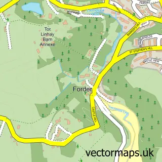
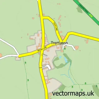
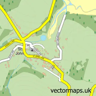
This Saltash street map is a detailed vector street map covering a 750m x 750m area. Select a larger area to create and download your own vector street map of Saltash.
The 750-metre map sample for Saltash covers 470 mapped buildings and approximately 24.1 km of road detail, of which 42 named roads are named. The immediate area includes 1 railway station, 1 GP surgery, with 3 within 2 miles, 11 pubs and 1 MOT station, with 9 within 2 miles. The wider area around Saltash features 10 tourism points of interest, 24 food and drink venues and 1 hotel. To create a larger or custom map of Saltash, the map builder lets you define your own coverage area and download editable SVG, PDF and PNG files.
Create a larger editable map of Saltash
Choose any area you need and generate a high-quality vector map instantly. Perfect for print, planning, design, business and personal use.

This Saltash street map in Cornwall is available as downloadable SVG, PDF and PNG map files, or as a printed map for planning, business, display, education, local information and design work. You can also create a larger custom map area using the map selector.
What this Saltash map sample shows
Saltash lies within Saltash Cp parish, part of Saltash East ward in the Cornwall local authority area. The postcode geography for this area includes the PL postcode area, the PL12 postcode district and the PL12 6 postcode sector. Residents fall under the Nhs Cornwall And The Isles Of Scilly Integrated Care Board for NHS services.
Local features near Saltash
Within 2 milesAmenities and services in and around Saltash.
Administrative and postcode information for Saltash
Saltash lies within Saltash Cp parish, part of Saltash East ward in the Cornwall local authority area. The postcode geography for this area includes the PL postcode area, the PL12 postcode district and the PL12 6 postcode sector. Residents fall under the Nhs Cornwall And The Isles Of Scilly Integrated Care Board for NHS services.
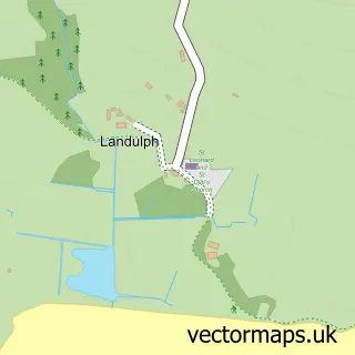
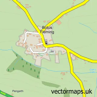
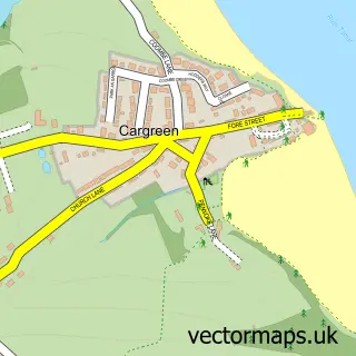
Nearby street map samples around Saltash

More street maps in Cornwall
750 metre map area coverage
Boundary, postcode and point of interest information for the 750m x 750m rectangle centred on this sample map.
Boundaries containing map centre
Constituency: South East Cornwall Co Const
District: Cornwall
Icb: NHS Cornwall and the Isles of Scilly ICB
Parish: Saltash CP
Police Force: devon and cornwall
Postcode District: PL12
Postcode Sector: PL12 6
Nearby boundaries intersecting sample
Postcode Sector: PL12 4
Postcode coverage
POI category counts
Pub: 11
Beauty Salon: 10
Cafe: 8
Real Estate Agent: 8
Banks: 7
Hair Salon: 6
Professional Services: 6
Barber: 5
Beauty And Spa: 5
Convenience Store: 5
Sample points of interest
- Blackwell Bate Chartered Accountants & Tax Advisers
- Lemsalu & Co.
- Logic Bookkeeping and Accounts
- ARU Fitness Academy
- Futurecross- Kids Motocross Gear & Clothing\n
- Riverstud
- Carbon Pixel
- Fore Street Osteopaths
- Saltash: St Nicholas & St Faith
- St Lukes Hospice Shop
- Tech Fix
- C F D Architects Ltd.
Create a larger editable map of Saltash
This sample shows only a 750 metre area. To create a larger map of Saltash, use our map builder to choose your own coverage area, add titles and download editable SVG, PDF and PNG files.
Create a custom map of Saltash