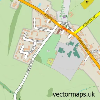
This Durgates street map is a detailed vector street map covering a 750m x 750m area. Select a larger area to create and download your own vector street map of Durgates.
The 750-metre map sample for Durgates covers 382 mapped buildings and approximately 15.3 km of road detail, of which 28 named roads are named. The immediate area includes 1 school, 1 GP surgery within 2 miles and 1 MOT station, with 3 within 2 miles. To create a larger or custom map of Durgates, the map builder lets you define your own coverage area and download editable SVG, PDF and PNG files.
Create a larger editable map of Durgates
Choose any area you need and generate a high-quality vector map instantly. Perfect for print, planning, design, business and personal use.

This Durgates street map in East Sussex is available as downloadable SVG, PDF and PNG map files, or as a printed map for planning, business, display, education, local information and design work. You can also create a larger custom map area using the map selector.
What this Durgates map sample shows
Durgates lies within Wadhurst Cp parish, part of Frant & Wadhurst ward in the Wealden District local authority area. The postcode geography for this area includes the TN postcode area, the TN5 postcode district and the TN5 6 postcode sector. Residents fall under the Nhs Sussex Integrated Care Board for NHS services.
Local features near Durgates
Within 2 milesAmenities and services in and around Durgates.
Administrative and postcode information for Durgates
Durgates lies within Wadhurst Cp parish, part of Frant & Wadhurst ward in the Wealden District local authority area. The postcode geography for this area includes the TN postcode area, the TN5 postcode district and the TN5 6 postcode sector. Residents fall under the Nhs Sussex Integrated Care Board for NHS services.
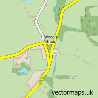
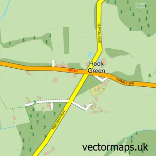
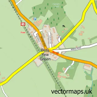
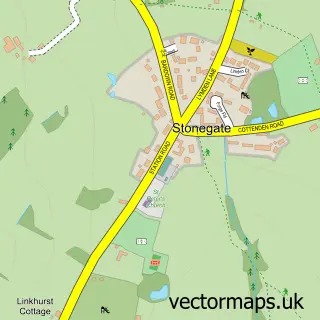
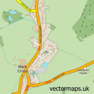
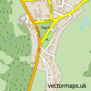
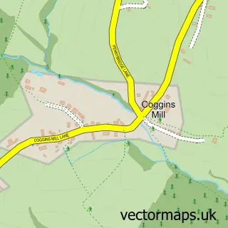
Nearby street map samples around Durgates


More street maps in East Sussex
750 metre map area coverage
Boundary, postcode and point of interest information for the 750m x 750m rectangle centred on this sample map.
Boundaries containing map centre
Constituency: Sussex Weald Co Const
County: East Sussex County
District: Wealden District
Icb: NHS Surrey and Sussex ICB
Parish: Wadhurst CP
Police Force: sussex
Postcode District: TN5
Postcode Sector: TN5 6
Ward: Frant & Wadhurst Ward
Nearby boundaries intersecting sample
No additional intersecting boundaries found.
Postcode coverage
POI category counts
Alternative Medicine: 3
Convenience Store: 3
Grocery Store: 3
Dentist: 2
Landscaping: 2
Naturopathic Holistic: 2
Arts And Crafts: 1
Arts And Entertainment: 1
Atms: 1
Barber: 1
Sample points of interest
- Claire Piper Within Hamblys Natural Health Centre
- Hambly's Herbal Dispensary
- in Touch with Health Osteopathic Practice
- Birds Dragons
- Durgates
- The Southern Co-Operative Wadhurst Sparrows Green Road
- Bowie's Barber Shop
- MirrorMirror Hairdressers
- Wooden Wine Box Co
- County Roofing
- Fieldworks Marketing Ltd.
- Traps
Create a larger editable map of Durgates
This sample shows only a 750 metre area. To create a larger map of Durgates, use our map builder to choose your own coverage area, add titles and download editable SVG, PDF and PNG files.
Create a custom map of Durgates