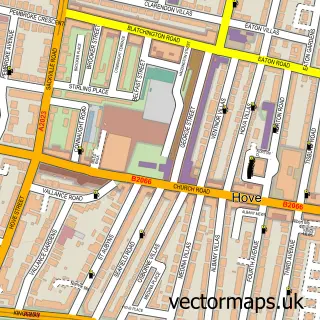
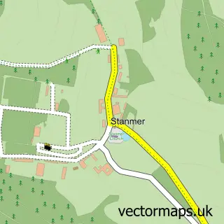
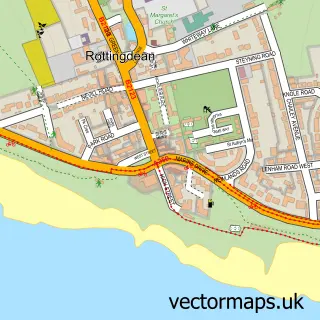
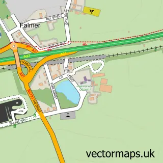
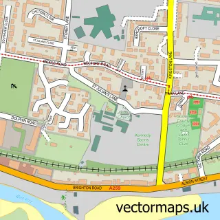
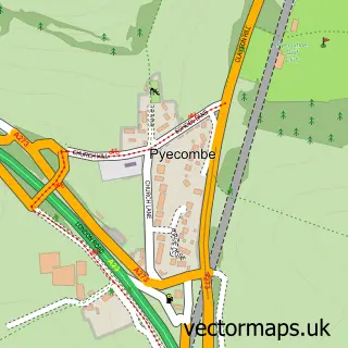
This Brighton street map is a detailed vector street map covering a 750m x 750m area. Select a larger area to create and download your own vector street map of Brighton.
The 750-metre map sample for Brighton covers 115 mapped buildings and approximately 25.5 km of road detail, of which 66 named roads are named. The immediate area includes 1 school, 3 GP surgeries, with 21 within 2 miles, 75 pubs and 20 MOT stations within 2 miles. The wider area around Brighton features 28 tourism points of interest, 191 food and drink venues and 33 hotels. To create a larger or custom map of Brighton, the map builder lets you define your own coverage area and download editable SVG, PDF and PNG files.
Create a larger editable map of Brighton
Choose any area you need and generate a high-quality vector map instantly. Perfect for print, planning, design, business and personal use.

This Brighton street map in East Sussex is available as downloadable SVG, PDF and PNG map files, or as a printed map for planning, business, display, education, local information and design work. You can also create a larger custom map area using the map selector.
What this Brighton map sample shows
Brighton lies within The City Of Brighton And Hove (B) parish, part of Queen's Park ward in the The City Of Brighton And Hove (B) local authority area. The postcode geography for this area includes the BN postcode area, the BN2 postcode district and the BN2 0 postcode sector. Residents fall under the Nhs Sussex Integrated Care Board for NHS services.
Local features near Brighton
Within 2 milesAmenities and services in and around Brighton.
Administrative and postcode information for Brighton
The local authority covering Brighton is The City Of Brighton And Hove (B), within the county of East Sussex. The settlement lies within Queen's Park ward and The City Of Brighton And Hove (B) civil parish. The BN2 postcode district and BN2 0 postcode sector serve the immediate area. NHS provision in the area is delivered through University Hospitals Sussex Nhs Foundation Trust.
Nearby street map samples around Brighton
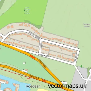
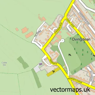
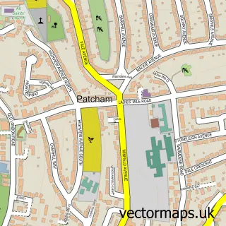
More street maps in East Sussex
750 metre map area coverage
Boundary, postcode and point of interest information for the 750m x 750m rectangle centred on this sample map.
Boundaries containing map centre
Constituency: Brighton Pavilion Boro Const
District: The City of Brighton and Hove (B)
Icb: NHS Surrey and Sussex ICB
Police Force: sussex
Postcode District: BN1
Postcode Sector: BN1 1
Ward: Regency Ward
Nearby boundaries intersecting sample
Constituency: Brighton Kemptown and Peacehaven Boro Const
Postcode District: BN2
Postcode Sector: BN1 2, BN1 3, BN2 0, BN2 1, BN2 9
Ward: Kemptown Ward, Queen's Park Ward, West Hill & North Laine Ward
Postcode coverage
POI category counts
Pub: 75
Clothing Store: 73
Jewelry Store: 70
Bar: 64
Art Gallery: 57
Dance Club: 56
Professional Services: 56
Restaurant: 49
Advertising Agency: 41
Employment Agencies: 39
Sample points of interest
- The Swedish Retreat
- The View Brighton
- Auguste and Auguste
- Breeze & Associates Ltd.
- BusinessHeads
- Freelance United
- Hartley Fowler
- Jeremy Knight & Co.
- Lucraft Hodgson and Dawes
- Marks and Co Chartered Accountants
- Merranti Accounting Brighton
- Paddenburg & Co.
Create a larger editable map of Brighton
This sample shows only a 750 metre area. To create a larger map of Brighton, use our map builder to choose your own coverage area, add titles and download editable SVG, PDF and PNG files.
Create a custom map of Brighton