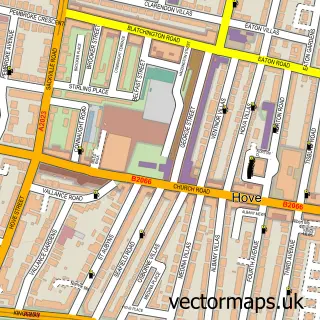
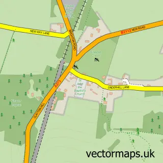
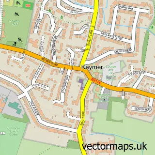
This Patcham street map is a detailed vector street map covering a 750m x 750m area. Select a larger area to create and download your own vector street map of Patcham.
The 750-metre map sample for Patcham covers 607 mapped buildings and approximately 17.6 km of road detail, of which 36 named roads are named. The immediate area includes 2 primary schools and 1 secondary school, 8 GP surgeries within 2 miles, 1 pub and 1 MOT station, with 12 within 2 miles. The wider area around Patcham features 3 tourism points of interest and 8 food and drink venues. To create a larger or custom map of Patcham, the map builder lets you define your own coverage area and download editable SVG, PDF and PNG files.
Create a larger editable map of Patcham
Choose any area you need and generate a high-quality vector map instantly. Perfect for print, planning, design, business and personal use.

This Patcham street map in East Sussex is available as downloadable SVG, PDF and PNG map files, or as a printed map for planning, business, display, education, local information and design work. You can also create a larger custom map area using the map selector.
What this Patcham map sample shows
Patcham lies within The City Of Brighton And Hove (B) parish, part of Patcham ward in the The City Of Brighton And Hove (B) local authority area. The postcode geography for this area includes the BN postcode area, the BN1 postcode district and the BN1 8 postcode sector. Residents fall under the Nhs Sussex Integrated Care Board for NHS services.
Local features near Patcham
Within 2 milesAmenities and services in and around Patcham.
Administrative and postcode information for Patcham
Patcham lies within The City Of Brighton And Hove (B) parish, part of Patcham ward in the The City Of Brighton And Hove (B) local authority area. The postcode geography for this area includes the BN postcode area, the BN1 postcode district and the BN1 8 postcode sector. Residents fall under the Nhs Sussex Integrated Care Board for NHS services.
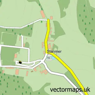
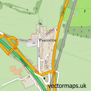
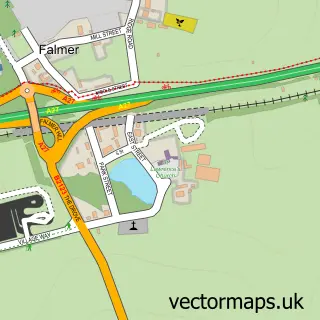
Nearby street map samples around Patcham

More street maps in East Sussex
750 metre map area coverage
Boundary, postcode and point of interest information for the 750m x 750m rectangle centred on this sample map.
Boundaries containing map centre
Constituency: Brighton Pavilion Boro Const
District: The City of Brighton and Hove (B)
Icb: NHS Surrey and Sussex ICB
Police Force: sussex
Postcode District: BN1
Postcode Sector: BN1 8
Ward: Patcham & Hollingbury Ward
Nearby boundaries intersecting sample
No additional intersecting boundaries found.
Postcode coverage
POI category counts
Dentist: 6
Building Supply Store: 4
Indian Restaurant: 4
Beauty Salon: 3
Coffee Shop: 3
Convenience Store: 3
Hair Salon: 3
Professional Services: 3
Restaurant: 3
Auto Detailing: 2
Sample points of interest
- All Saints Patcham
- Harris Kalinka
- The Cooperative Food (BF) Patcham, Patcham
- Audio Suspension
- Pure Diamond Detailing
- Triad Mobile Detailing
- David Foreman & Co
- Braeside Motors
- B & J Domestic Appliances
- Patcham Garage
- Village Bakery
- Arif The Barber
Create a larger editable map of Patcham
This sample shows only a 750 metre area. To create a larger map of Patcham, use our map builder to choose your own coverage area, add titles and download editable SVG, PDF and PNG files.
Create a custom map of Patcham