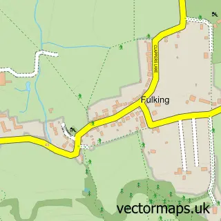
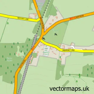
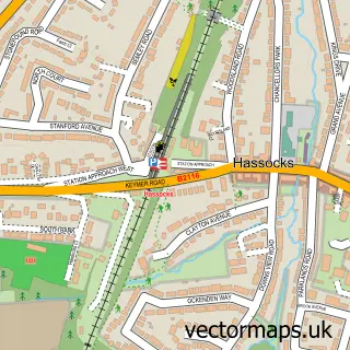
This Poynings street map is a detailed vector street map covering a 750m x 750m area. Select a larger area to create and download your own vector street map of Poynings.
The 750-metre map sample for Poynings covers 100 mapped buildings and approximately 8.0 km of road detail, of which 5 named roads are named. The immediate area includes 1 pub and 1 MOT station, with 2 within 2 miles. The wider area around Poynings features 1 tourism point of interest, 1 food and drink venue and 1 campsite within 2 miles. To create a larger or custom map of Poynings, the map builder lets you define your own coverage area and download editable SVG, PDF and PNG files.
Create a larger editable map of Poynings
Choose any area you need and generate a high-quality vector map instantly. Perfect for print, planning, design, business and personal use.

This Poynings street map in West Sussex is available as downloadable SVG, PDF and PNG map files, or as a printed map for planning, business, display, education, local information and design work. You can also create a larger custom map area using the map selector.
What this Poynings map sample shows
Poynings lies within Poynings Cp parish, part of Hurstpierpoint And Downs ward in the Mid Sussex District local authority area. The postcode geography for this area includes the BN postcode area, the BN45 postcode district and the BN45 7 postcode sector. Residents fall under the Nhs Sussex Integrated Care Board for NHS services.
Local features near Poynings
Within 2 milesAmenities and services in and around Poynings.
Administrative and postcode information for Poynings
Poynings lies within Poynings Cp parish, part of Hurstpierpoint And Downs ward in the Mid Sussex District local authority area. The postcode geography for this area includes the BN postcode area, the BN45 postcode district and the BN45 7 postcode sector. Residents fall under the Nhs Sussex Integrated Care Board for NHS services.
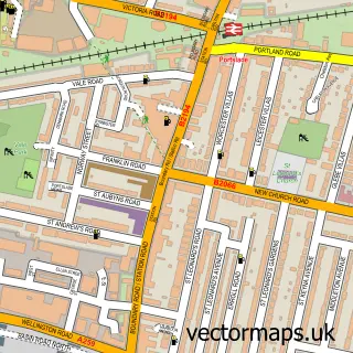
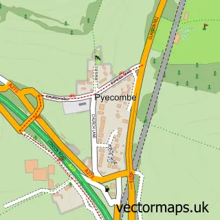
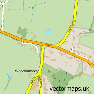
Nearby street map samples around Poynings

More street maps in West Sussex
750 metre map area coverage
Boundary, postcode and point of interest information for the 750m x 750m rectangle centred on this sample map.
Boundaries containing map centre
Constituency: Mid Sussex Co Const
County: West Sussex County
District: Mid Sussex District
Icb: NHS Surrey and Sussex ICB
Parish: Poynings CP
Police Force: sussex
Postcode District: BN45
Postcode Sector: BN45 7
Ward: Downland Villages Ward
Nearby boundaries intersecting sample
Parish: Newtimber CP
Postcode coverage
POI category counts
Anglican Church: 1
Automotive Repair: 1
Bed And Breakfast: 1
Cleaning Services: 1
Corporate Entertainment Services: 1
Corporate Office: 1
Counseling And Mental Health: 1
Glass And Mirror Sales Service: 1
It Service And Computer Repair: 1
Landmark And Historical Building: 1
Sample points of interest
- Holy Trinity, Poynings - in the Mid Downland Parish
- Hove Car Spares Forge Garage
- South Downs Way B and B
- Neat Cleaners Poynings
- The Golf Leagues
- Generation Press
- Downmere Farm
- Silver Stained Glass
- Timewatch
- Newtimber Hill
- Rushfields
- Dandelion Puppets
Create a larger editable map of Poynings
This sample shows only a 750 metre area. To create a larger map of Poynings, use our map builder to choose your own coverage area, add titles and download editable SVG, PDF and PNG files.
Create a custom map of Poynings