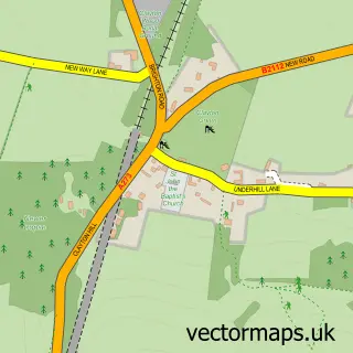
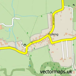
This Pyecombe street map is a detailed vector street map covering a 750m x 750m area. Select a larger area to create and download your own vector street map of Pyecombe.
The 750-metre map sample for Pyecombe covers 72 mapped buildings and approximately 13.2 km of road detail, of which 7 named roads are named. The immediate area includes 1 pub and 3 MOT stations within 2 miles. The wider area around Pyecombe features 1 tourism point of interest, 2 food and drink venues and 1 hotel. To create a larger or custom map of Pyecombe, the map builder lets you define your own coverage area and download editable SVG, PDF and PNG files.
Create a larger editable map of Pyecombe
Choose any area you need and generate a high-quality vector map instantly. Perfect for print, planning, design, business and personal use.

This Pyecombe street map in West Sussex is available as downloadable SVG, PDF and PNG map files, or as a printed map for planning, business, display, education, local information and design work. You can also create a larger custom map area using the map selector.
What this Pyecombe map sample shows
Pyecombe lies within Pyecombe Cp parish, part of Hurstpierpoint And Downs ward in the Mid Sussex District local authority area. The postcode geography for this area includes the BN postcode area, the BN45 postcode district and the BN45 7 postcode sector. Residents fall under the Nhs Sussex Integrated Care Board for NHS services.
Local features near Pyecombe
Within 2 milesAmenities and services in and around Pyecombe.
Administrative and postcode information for Pyecombe
Pyecombe lies within Pyecombe Cp parish, part of Hurstpierpoint And Downs ward in the Mid Sussex District local authority area. The postcode geography for this area includes the BN postcode area, the BN45 postcode district and the BN45 7 postcode sector. Residents fall under the Nhs Sussex Integrated Care Board for NHS services.
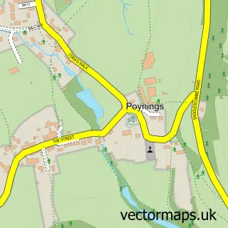
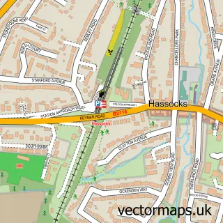
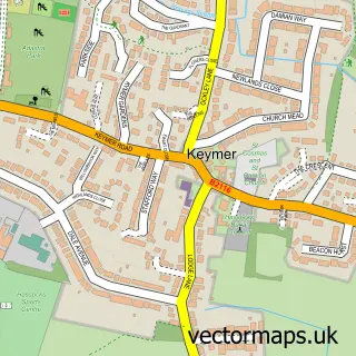
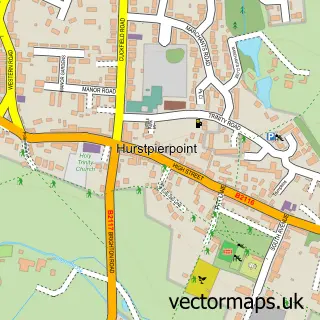
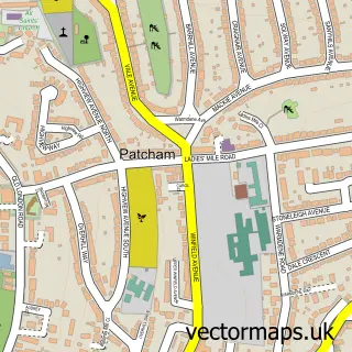
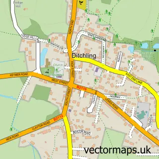
Nearby street map samples around Pyecombe

More street maps in West Sussex
750 metre map area coverage
Boundary, postcode and point of interest information for the 750m x 750m rectangle centred on this sample map.
Boundaries containing map centre
Constituency: Mid Sussex Co Const
County: West Sussex County
District: Mid Sussex District
Icb: NHS Surrey and Sussex ICB
Parish: Pyecombe CP
Police Force: sussex
Postcode District: BN45
Postcode Sector: BN45 7
Ward: Downland Villages Ward
Nearby boundaries intersecting sample
No additional intersecting boundaries found.
Postcode coverage
POI category counts
Gas Station: 3
Bed And Breakfast: 2
Equestrian Facility: 2
Amusement Park: 1
Anglican Church: 1
Cafe: 1
Car Dealer: 1
Church Cathedral: 1
Counseling And Mental Health: 1
Furniture Store: 1
Sample points of interest
- Pyecombe Horse Shows
- The Transfiguration, Pyecombe - in the Mid Downland Parish
- Duck Lodge B&B
- Kingsley House
- Wild Bean Café
- Tates
- The Transfiguration Church
- Jacqueline Light Therapy
- Brendon Saddlery
- Brendon Stud
- Pyecombe Tack Sale
- Bp
Create a larger editable map of Pyecombe
This sample shows only a 750 metre area. To create a larger map of Pyecombe, use our map builder to choose your own coverage area, add titles and download editable SVG, PDF and PNG files.
Create a custom map of Pyecombe