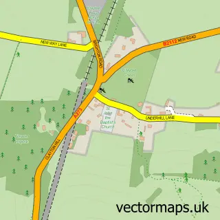
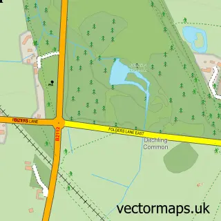
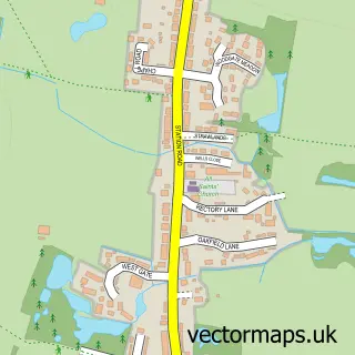
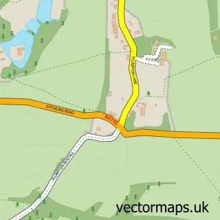
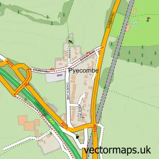
This Ditchling street map is a detailed vector street map covering a 750m x 750m area. Select a larger area to create and download your own vector street map of Ditchling.
The 750-metre map sample for Ditchling covers 324 mapped buildings and approximately 13.0 km of road detail, of which 20 named roads are named. The immediate area includes 1 school, 2 pubs and 3 MOT stations within 2 miles. The wider area around Ditchling features 2 tourism points of interest, 4 food and drink venues and 2 hotels. To create a larger or custom map of Ditchling, the map builder lets you define your own coverage area and download editable SVG, PDF and PNG files.
Create a larger editable map of Ditchling
Choose any area you need and generate a high-quality vector map instantly. Perfect for print, planning, design, business and personal use.

This Ditchling street map in East Sussex is available as downloadable SVG, PDF and PNG map files, or as a printed map for planning, business, display, education, local information and design work. You can also create a larger custom map area using the map selector.
What this Ditchling map sample shows
Ditchling lies within Ditchling Cp parish, part of Ditchling & Westmeston ward in the Lewes District local authority area. The postcode geography for this area includes the BN postcode area, the BN6 postcode district and the BN6 8 postcode sector. Residents fall under the Nhs Sussex Integrated Care Board for NHS services.
Local features near Ditchling
Within 2 milesAmenities and services in and around Ditchling.
Administrative and postcode information for Ditchling
Ditchling lies within Ditchling Cp parish, part of Ditchling & Westmeston ward in the Lewes District local authority area. The postcode geography for this area includes the BN postcode area, the BN6 postcode district and the BN6 8 postcode sector. Residents fall under the Nhs Sussex Integrated Care Board for NHS services.
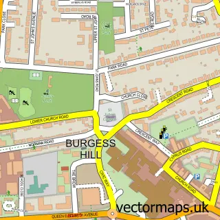
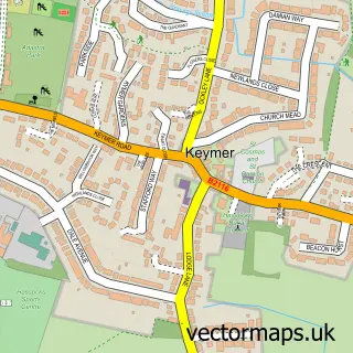
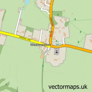
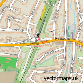
Nearby street map samples around Ditchling

More street maps in East Sussex
750 metre map area coverage
Boundary, postcode and point of interest information for the 750m x 750m rectangle centred on this sample map.
Boundaries containing map centre
Constituency: Lewes Co Const
County: East Sussex County
District: Lewes District
Icb: NHS Surrey and Sussex ICB
Parish: Ditchling CP
Police Force: sussex
Postcode District: BN6
Postcode Sector: BN6 8
Ward: Ditchling & Westmeston Ward
Nearby boundaries intersecting sample
No additional intersecting boundaries found.
Postcode coverage
POI category counts
Art Gallery: 2
Doctor: 2
Elementary School: 2
Hotel: 2
Pub: 2
Real Estate Agent: 2
Tea Room: 2
Winery: 2
Advertising Agency: 1
Anglican Church: 1
Sample points of interest
- Sandridge Media
- St Margaret's , Ditchling
- Spitfire Art
- The Jointure Studios
- Ditchling Museum of Art + Craft
- K S Pawlowski
- The New School of Art
- Southdown Bodyshop - Vehicle Repairers
- Bull Hotel
- G.E.S & Son Handyman
- The Green Welly
- Joshua Craske Carpentry & Building Services
Create a larger editable map of Ditchling
This sample shows only a 750 metre area. To create a larger map of Ditchling, use our map builder to choose your own coverage area, add titles and download editable SVG, PDF and PNG files.
Create a custom map of Ditchling