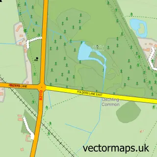
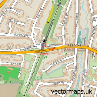
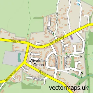
This Burgess Hill street map is a detailed vector street map covering a 750m x 750m area. Select a larger area to create and download your own vector street map of Burgess Hill.
The 750-metre map sample for Burgess Hill covers 366 mapped buildings and approximately 15.6 km of road detail, of which 30 named roads are named. The immediate area includes 1 school, 1 GP surgery, with 3 within 2 miles, 6 pubs and 9 MOT stations within 2 miles. The wider area around Burgess Hill features 3 tourism points of interest and 23 food and drink venues. To create a larger or custom map of Burgess Hill, the map builder lets you define your own coverage area and download editable SVG, PDF and PNG files.
Create a larger editable map of Burgess Hill
Choose any area you need and generate a high-quality vector map instantly. Perfect for print, planning, design, business and personal use.

This Burgess Hill street map in West Sussex is available as downloadable SVG, PDF and PNG map files, or as a printed map for planning, business, display, education, local information and design work. You can also create a larger custom map area using the map selector.
What this Burgess Hill map sample shows
Burgess Hill lies within Burgess Hill Cp parish, part of Burgess Hill Meeds ward in the Mid Sussex District local authority area. The postcode geography for this area includes the RH postcode area, the RH15 postcode district and the RH15 9 postcode sector. Residents fall under the Nhs Sussex Integrated Care Board for NHS services.
Local features near Burgess Hill
Within 2 milesAmenities and services in and around Burgess Hill.
Administrative and postcode information for Burgess Hill
Burgess Hill lies within Burgess Hill Cp parish, part of Burgess Hill Meeds ward in the Mid Sussex District local authority area. The postcode geography for this area includes the RH postcode area, the RH15 postcode district and the RH15 9 postcode sector. Residents fall under the Nhs Sussex Integrated Care Board for NHS services.
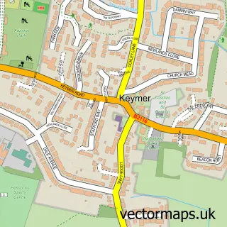
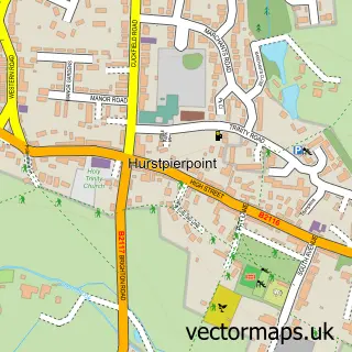
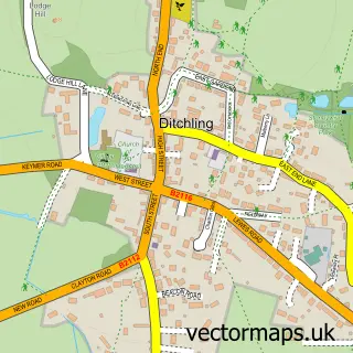
Nearby street map samples around Burgess Hill

More street maps in West Sussex

750 metre map area coverage
Boundary, postcode and point of interest information for the 750m x 750m rectangle centred on this sample map.
Boundaries containing map centre
Constituency: Mid Sussex Co Const
County: West Sussex County
District: Mid Sussex District
Icb: NHS Surrey and Sussex ICB
Parish: Burgess Hill CP
Police Force: sussex
Postcode District: RH15
Postcode Sector: RH15 8
Ward: Burgess Hill Meeds & Hammonds Ward
Nearby boundaries intersecting sample
Postcode Sector: RH15 9
Ward: Burgess Hill Leylands Ward, Burgess Hill Victoria Ward
Postcode coverage
POI category counts
Real Estate Agent: 11
Cafe: 9
Charity Organization: 9
Beauty Salon: 8
Hair Salon: 8
Retail: 8
Banks: 7
Doctor: 6
Indian Restaurant: 6
Pub: 6
Sample points of interest
- Broomie's Crazy Kitchen
- Keymer Haslam & Co
- Sigma Partners Accountants
- Tania Leach Bookkeeping & Accounts
- Unity Acupuncture Practice
- Burgess Hill Ambulance Station
- La-Padella
- Up Market 22
- AR Kartz
- Saint John's Hall, Burgess Hill
- St John the Evangelist
- Dormouse Envy vintage
Create a larger editable map of Burgess Hill
This sample shows only a 750 metre area. To create a larger map of Burgess Hill, use our map builder to choose your own coverage area, add titles and download editable SVG, PDF and PNG files.
Create a custom map of Burgess Hill