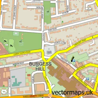
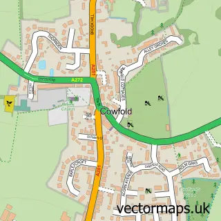
This Hickstead street map is a detailed vector street map covering a 750m x 750m area. Select a larger area to create and download your own vector street map of Hickstead.
The 750-metre map sample for Hickstead covers 66 mapped buildings and approximately 10.8 km of road detail, of which 2 named roads are named. The immediate area includes 1 GP surgery within 2 miles, 1 pub and 3 MOT stations within 2 miles. The wider area around Hickstead features 4 food and drink venues and 3 hotels. To create a larger or custom map of Hickstead, the map builder lets you define your own coverage area and download editable SVG, PDF and PNG files.
Create a larger editable map of Hickstead
Choose any area you need and generate a high-quality vector map instantly. Perfect for print, planning, design, business and personal use.

This Hickstead street map in West Sussex is available as downloadable SVG, PDF and PNG map files, or as a printed map for planning, business, display, education, local information and design work. You can also create a larger custom map area using the map selector.
What this Hickstead map sample shows
Hickstead lies within Twineham Cp parish, part of Bolney ward in the Mid Sussex District local authority area. The postcode geography for this area includes the RH postcode area, the RH17 postcode district and the RH17 5 postcode sector. Residents fall under the Nhs Sussex Integrated Care Board for NHS services.
Local features near Hickstead
Within 2 milesAmenities and services in and around Hickstead.
Administrative and postcode information for Hickstead
The local authority covering Hickstead is Mid Sussex District, within the county of West Sussex. The settlement lies within Bolney ward and Twineham Cp civil parish. The RH17 postcode district and RH17 5 postcode sector serve the immediate area. NHS provision in the area is delivered through University Hospitals Sussex Nhs Foundation Trust.
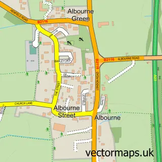
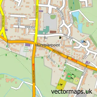
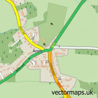
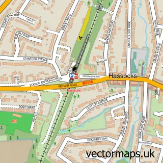
Nearby street map samples around Hickstead

More street maps in West Sussex
750 metre map area coverage
Boundary, postcode and point of interest information for the 750m x 750m rectangle centred on this sample map.
Boundaries containing map centre
Constituency: Mid Sussex Co Const
County: West Sussex County
District: Mid Sussex District
Icb: NHS Surrey and Sussex ICB
Parish: Twineham CP
Police Force: sussex
Postcode District: RH17
Postcode Sector: RH17 5
Ward: Downland Villages Ward
Nearby boundaries intersecting sample
Parish: Hurstpierpoint and Sayers Common CP
Postcode District: BN6
Postcode Sector: BN6 9
Postcode coverage
POI category counts
Coffee Shop: 3
Hotel: 3
American Restaurant: 1
Atms: 1
Beauty Salon: 1
Chinese Restaurant: 1
Convenience Store: 1
Equestrian Facility: 1
Ev Charging Station: 1
Fast Food Restaurant: 1
Sample points of interest
- Moto Hospitality
- Shell Hickstead (252), Hickstead
- L1P Aesthetics
- Shanghai Brasserie
- Costa Express
- Starbucks
- The Coffee Box
- Little Waitrose At Shell Hickstead
- Breen Equestrian Ltd
- Shell Recharge
- Burger King
- Shell
Create a larger editable map of Hickstead
This sample shows only a 750 metre area. To create a larger map of Hickstead, use our map builder to choose your own coverage area, add titles and download editable SVG, PDF and PNG files.
Create a custom map of Hickstead