This Bolney street map is a detailed vector street map covering a 750m x 750m area. Select a larger area to create and download your own vector street map of Bolney.
The 750-metre map sample for Bolney covers 201 mapped buildings and approximately 9.7 km of road detail, of which 10 named roads are named. The immediate area includes 1 MOT station, with 3 within 2 miles. The wider area around Bolney features 1 food and drink venue. To create a larger or custom map of Bolney, the map builder lets you define your own coverage area and download editable SVG, PDF and PNG files.
Create a larger editable map of Bolney
Choose any area you need and generate a high-quality vector map instantly. Perfect for print, planning, design, business and personal use.

This Bolney street map in West Sussex is available as downloadable SVG, PDF and PNG map files, or as a printed map for planning, business, display, education, local information and design work. You can also create a larger custom map area using the map selector.
What this Bolney map sample shows
Bolney lies within Bolney Cp parish, part of Bolney ward in the Mid Sussex District local authority area. The postcode geography for this area includes the RH postcode area, the RH17 postcode district and the RH17 5 postcode sector. Residents fall under the Nhs Sussex Integrated Care Board for NHS services.
Local features near Bolney
Within 2 milesAmenities and services in and around Bolney.
Administrative and postcode information for Bolney
Bolney lies within Bolney Cp parish, part of Bolney ward in the Mid Sussex District local authority area. The postcode geography for this area includes the RH postcode area, the RH17 postcode district and the RH17 5 postcode sector. Residents fall under the Nhs Sussex Integrated Care Board for NHS services.
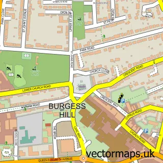
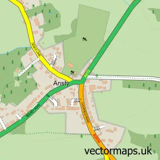
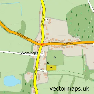
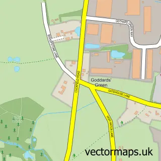
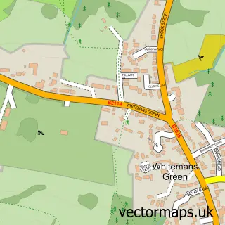
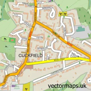
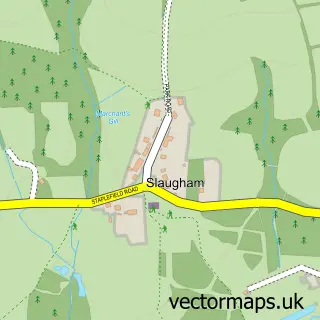
Nearby street map samples around Bolney


More street maps in West Sussex
750 metre map area coverage
Boundary, postcode and point of interest information for the 750m x 750m rectangle centred on this sample map.
Boundaries containing map centre
Constituency: Mid Sussex Co Const
County: West Sussex County
District: Mid Sussex District
Icb: NHS Surrey and Sussex ICB
Parish: Bolney CP
Police Force: sussex
Postcode District: RH17
Postcode Sector: RH17 5
Ward: Cuckfield, Bolney & Ansty Ward
Nearby boundaries intersecting sample
No additional intersecting boundaries found.
Postcode coverage
POI category counts
Automotive Repair: 2
Leather Goods: 2
Motorcycle Repair: 2
Post Office: 2
Antique Store: 1
Bed And Breakfast: 1
Bike Repair Maintenance: 1
Cafe: 1
Doctor: 1
Dog Trainer: 1
Sample points of interest
- Cat I Ltd.
- A C Cars
- The Motorcycle Workshop
- Bramble Cottage
- Charlies Pedal Shed
- Batchelor's Field Cafe
- Echo Orthopaedics
- Devoted Dogs
- On the Spot Tax
- Ebiss Uk Ltd
- Fairlight Developments
- Track Right
Create a larger editable map of Bolney
This sample shows only a 750 metre area. To create a larger map of Bolney, use our map builder to choose your own coverage area, add titles and download editable SVG, PDF and PNG files.
Create a custom map of Bolney