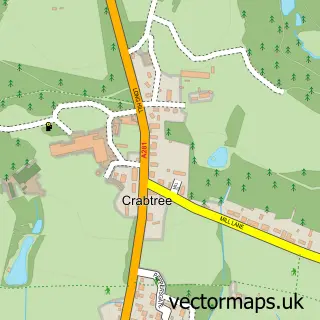
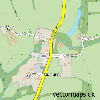
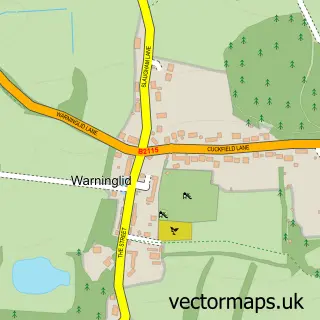
This Cowfold street map is a detailed vector street map covering a 750m x 750m area. Select a larger area to create and download your own vector street map of Cowfold.
The 750-metre map sample for Cowfold covers 290 mapped buildings and approximately 11.4 km of road detail, of which 15 named roads are named. The immediate area includes 1 school, 1 GP surgery, 1 pub and 2 MOT stations within 2 miles. The wider area around Cowfold features 4 food and drink venues. To create a larger or custom map of Cowfold, the map builder lets you define your own coverage area and download editable SVG, PDF and PNG files.
Create a larger editable map of Cowfold
Choose any area you need and generate a high-quality vector map instantly. Perfect for print, planning, design, business and personal use.

This Cowfold street map in West Sussex is available as downloadable SVG, PDF and PNG map files, or as a printed map for planning, business, display, education, local information and design work. You can also create a larger custom map area using the map selector.
What this Cowfold map sample shows
Cowfold lies within Cowfold Cp parish, part of Cowfold, Shermanbury & West Grinstead ward in the Horsham District local authority area. The postcode geography for this area includes the RH postcode area, the RH13 postcode district and the RH13 8 postcode sector. Residents fall under the Nhs Sussex Integrated Care Board for NHS services.
Local features near Cowfold
Within 2 milesAmenities and services in and around Cowfold.
Administrative and postcode information for Cowfold
Cowfold lies within Cowfold Cp parish, part of Cowfold, Shermanbury & West Grinstead ward in the Horsham District local authority area. The postcode geography for this area includes the RH postcode area, the RH13 postcode district and the RH13 8 postcode sector. Residents fall under the Nhs Sussex Integrated Care Board for NHS services.
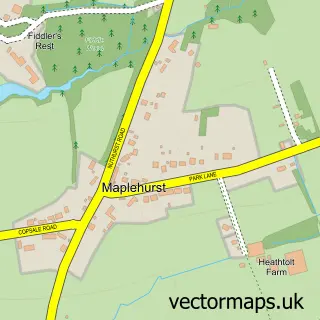
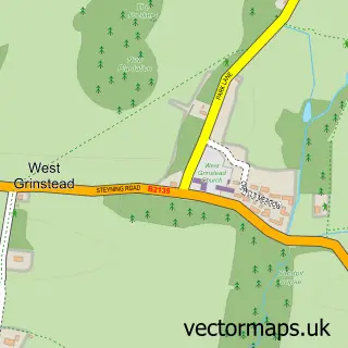
Nearby street map samples around Cowfold

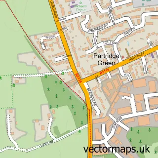
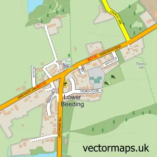
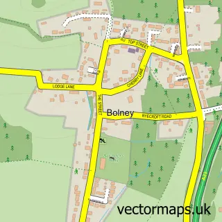
More street maps in West Sussex
750 metre map area coverage
Boundary, postcode and point of interest information for the 750m x 750m rectangle centred on this sample map.
Boundaries containing map centre
Constituency: Horsham Co Const
County: West Sussex County
District: Horsham District
Icb: NHS Surrey and Sussex ICB
Parish: Cowfold CP
Police Force: sussex
Postcode District: RH13
Postcode Sector: RH13 8
Ward: Cowfold, Shermanbury & West Grinstead Ward
Nearby boundaries intersecting sample
No additional intersecting boundaries found.
Postcode coverage
POI category counts
Building Supply Store: 3
Accountant: 2
Anglican Church: 2
Cafe: 2
Community Center: 2
Elementary School: 2
Massage Therapy: 2
Shipping Center: 2
Airport: 1
Antique Store: 1
Sample points of interest
- ALB Accountancy UK Ltd.
- David Howard Chartered Accountants
- Jays Airports
- St Peter
- St Peters Church Cowfold
- Cobwebs of Cowfold
- The Cooperative Food (BF) Cowfold - The Street, Cowfold
- The Complete Barber Shop
- Hair Studio Cowfold
- All Things Visual
- Insitu SCP
- Saddlers Blinds
Create a larger editable map of Cowfold
This sample shows only a 750 metre area. To create a larger map of Cowfold, use our map builder to choose your own coverage area, add titles and download editable SVG, PDF and PNG files.
Create a custom map of Cowfold