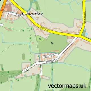
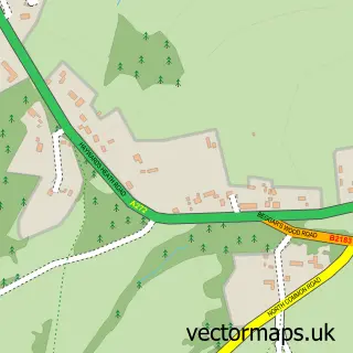
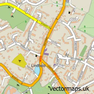
This Old Wivelsfield street map is a detailed vector street map covering a 750m x 750m area. Select a larger area to create and download your own vector street map of Old Wivelsfield.
The 750-metre map sample for Old Wivelsfield covers 35 mapped buildings and approximately 3.4 km of road detail, of which 2 named roads are named. The immediate area includes 2 GP surgeries within 2 miles and 8 MOT stations within 2 miles. To create a larger or custom map of Old Wivelsfield, the map builder lets you define your own coverage area and download editable SVG, PDF and PNG files.
Create a larger editable map of Old Wivelsfield
Choose any area you need and generate a high-quality vector map instantly. Perfect for print, planning, design, business and personal use.

This Old Wivelsfield street map in East Sussex is available as downloadable SVG, PDF and PNG map files, or as a printed map for planning, business, display, education, local information and design work. You can also create a larger custom map area using the map selector.
What this Old Wivelsfield map sample shows
Old Wivelsfield lies within Wivelsfield Cp parish, part of Wivelsfield ward in the Lewes District local authority area. The postcode geography for this area includes the RH postcode area, the RH17 postcode district and the RH17 7 postcode sector. Residents fall under the Nhs Sussex Integrated Care Board for NHS services.
Local features near Old Wivelsfield
Within 2 milesAmenities and services in and around Old Wivelsfield.
Administrative and postcode information for Old Wivelsfield
The local authority covering Old Wivelsfield is Lewes District, within the county of East Sussex. The settlement lies within Wivelsfield ward and Wivelsfield Cp civil parish. The RH17 postcode district and RH17 7 postcode sector serve the immediate area. NHS provision in the area is delivered through University Hospitals Sussex Nhs Foundation Trust.
Nearby street map samples around Old Wivelsfield
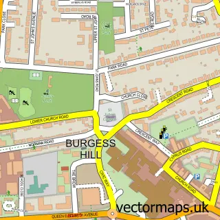

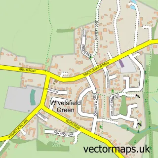
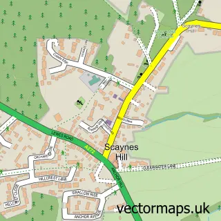
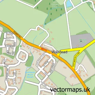
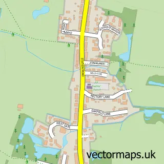
More street maps in East Sussex
750 metre map area coverage
Boundary, postcode and point of interest information for the 750m x 750m rectangle centred on this sample map.
Boundaries containing map centre
Constituency: East Grinstead and Uckfield Co Const
County: East Sussex County
District: Lewes District
Icb: NHS Surrey and Sussex ICB
Parish: Wivelsfield CP
Police Force: sussex
Postcode District: RH17
Postcode Sector: RH17 7
Ward: Wivelsfield Ward
Nearby boundaries intersecting sample
Postcode District: RH15
Postcode Sector: RH15 0
Postcode coverage
POI category counts
Building Supply Store: 2
Anglican Church: 1
Auto Upholstery: 1
Child Care And Day Care: 1
Church Cathedral: 1
Computer Store: 1
Forestry Service: 1
Freight And Cargo Service: 1
Hair Salon: 1
Hvac Services: 1
Sample points of interest
- Wivelsfield Parish Church
- The Designer Curtain Company
- G Jupp & Son
- Innovation Blinds
- Mill Hall Day Nursery
- King's Church Uckfield
- A & D Computer & Electronics Repair
- Sussex Trees and Stumps
- Sovereign International Logistics
- Gemini Hairdressing
- Sa Hancock Ltd.
- Woodland Dog Grooming
Create a larger editable map of Old Wivelsfield
This sample shows only a 750 metre area. To create a larger map of Old Wivelsfield, use our map builder to choose your own coverage area, add titles and download editable SVG, PDF and PNG files.
Create a custom map of Old Wivelsfield