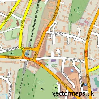
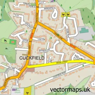
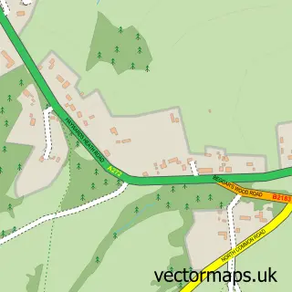
This Lindfield street map is a detailed vector street map covering a 750m x 750m area. Select a larger area to create and download your own vector street map of Lindfield.
The 750-metre map sample for Lindfield covers 460 mapped buildings and approximately 15.5 km of road detail, of which 34 named roads are named. The immediate area includes 1 school, 1 GP surgery, with 4 within 2 miles, 5 pubs and 1 MOT station, with 7 within 2 miles. The wider area around Lindfield features 4 tourism points of interest, 13 food and drink venues and 2 hotels. To create a larger or custom map of Lindfield, the map builder lets you define your own coverage area and download editable SVG, PDF and PNG files.
Create a larger editable map of Lindfield
Choose any area you need and generate a high-quality vector map instantly. Perfect for print, planning, design, business and personal use.

This Lindfield street map in West Sussex is available as downloadable SVG, PDF and PNG map files, or as a printed map for planning, business, display, education, local information and design work. You can also create a larger custom map area using the map selector.
What this Lindfield map sample shows
Lindfield lies within Lindfield Cp parish, part of Lindfield ward in the Mid Sussex District local authority area. The postcode geography for this area includes the RH postcode area, the RH16 postcode district and the RH16 2 postcode sector. Residents fall under the Nhs Sussex Integrated Care Board for NHS services.
Local features near Lindfield
Within 2 milesAmenities and services in and around Lindfield.
Administrative and postcode information for Lindfield
Lindfield lies within Lindfield Cp parish, part of Lindfield ward in the Mid Sussex District local authority area. The postcode geography for this area includes the RH postcode area, the RH16 postcode district and the RH16 2 postcode sector. Residents fall under the Nhs Sussex Integrated Care Board for NHS services.
Nearby street map samples around Lindfield

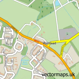
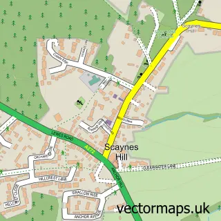
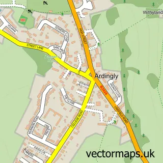
More street maps in West Sussex
750 metre map area coverage
Boundary, postcode and point of interest information for the 750m x 750m rectangle centred on this sample map.
Boundaries containing map centre
Constituency: Mid Sussex Co Const
County: West Sussex County
District: Mid Sussex District
Icb: NHS Surrey and Sussex ICB
Parish: Lindfield CP
Police Force: sussex
Postcode District: RH16
Postcode Sector: RH16 2
Ward: Lindfield Ward
Nearby boundaries intersecting sample
No additional intersecting boundaries found.
Postcode coverage
POI category counts
Hair Salon: 5
Pub: 5
Building Supply Store: 4
Convenience Store: 4
Park: 4
Butcher Shop: 3
Childrens Clothing Store: 3
Coffee Shop: 3
Elementary School: 3
Flowers And Gifts Shop: 3
Sample points of interest
- Silvey Jex
- Fullspectrum Homoeopathic Centre
- All Saints Lindfield
- Pepperbox Interiors
- LCC Home
- The Cooperative Food Lindfield
- J & L Motor Repair
- Lindfield Motors
- Humphrey's Bakery
- Lindfield Barbers
- The Penny Black Barbershop
- Makeup by Becky Flynn
Create a larger editable map of Lindfield
This sample shows only a 750 metre area. To create a larger map of Lindfield, use our map builder to choose your own coverage area, add titles and download editable SVG, PDF and PNG files.
Create a custom map of Lindfield